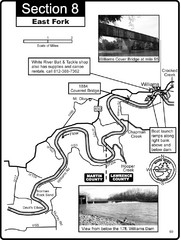
Williams, IN White River East Fork Map
This is a page from the White River Guidebook. The map shows important information for boaters and...
322 miles away

University of Michigan Map
323 miles away
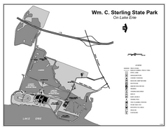
Sterling State Park, Michigan Site Map
323 miles away
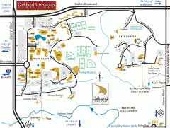
Oakland University Map
Oakland University Campus Map. All buildings shown.
324 miles away
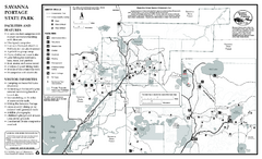
Savanna Portage State Park Winter Map
Winter seasonal map of park with detail of trails and recreation zones
324 miles away
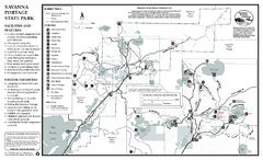
Savanna Portage State Park Summer Map
Summer seasonal map of park with detail of trails and recreation zones
324 miles away
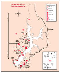
Washington County State Recreational Area...
324 miles away
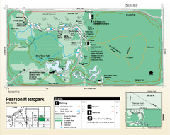
Pearson Metropark Map
324 miles away
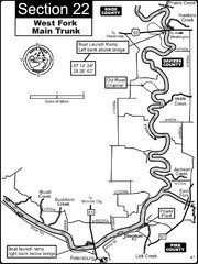
Petersburg, IN White River West Fork Map
This is a page from the White River Guidebook. The map shows important information for boaters and...
324 miles away
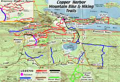
Copper Harbor Trail Map
Guide to mountain bike and hiking trails of Copper Harbor
324 miles away
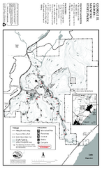
George Crosby Manitou State Park Map
Map of park with detail of trails and recreation zones
325 miles away
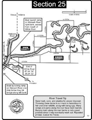
Mount Carmel, IL White River & Wabash River...
This is a page from the White River Guidebook. The map shows important information for boaters and...
325 miles away
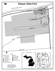
Sleeper State Park, Michigan Site Map
326 miles away
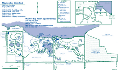
Maumee Bay State Park Map
326 miles away
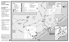
Temperance River State Park Map
map of park with detail of trails and recreation zones
328 miles away
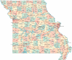
Missouri Map
Map of Missouri, including main roads and towns
328 miles away
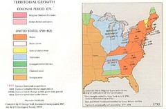
Territorial Expansion in Eastern United States...
328 miles away
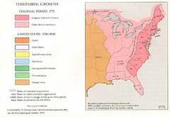
Territorial Expansion in Eastern United States...
328 miles away
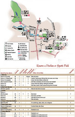
City of Festus Parks Map
328 miles away
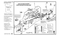
Cuyuna Country State Recreation Area Map
Map of park with detail of trails and recreation zones
329 miles away
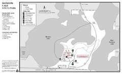
Monson Lake State Park Map
Map of park with detail of trails and recreation zones
330 miles away
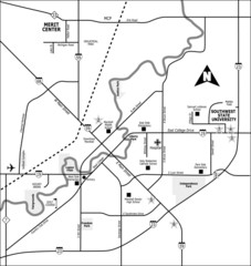
City of Marshall Visitor's Map
City of Marshall Visitor's Map describes the location of basic needs as well as recreational...
330 miles away
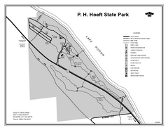
P.H. Hoeft State Park, Michigan Site Map
331 miles away

Wayne State University Map
331 miles away
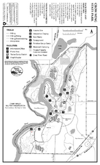
Crow Wing State Park Map
Map of park with detail of trails and recreation zones
331 miles away
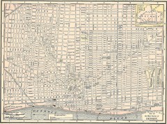
Map of the Main Portion of Detroit - 1895
Map of downtown Detroit, 1895. From Rand McNally's Atlas of the World, 1901, page 42
332 miles away
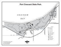
Port Crescent State Park, Michigan Site Map
332 miles away
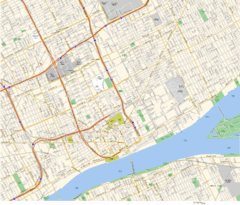
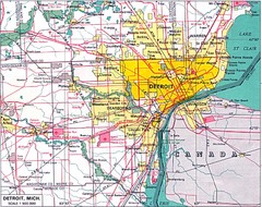
Detroit, MI Tourist Map
332 miles away
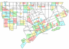
Detroit Neighborhoods Map
332 miles away

Detroit, Michigan City Map
332 miles away
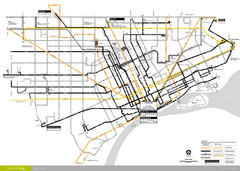
DDOT 2006 System Map
Detroit Department of Transportation Transit System.
332 miles away

Lutsen Mountains Ski Trail Map
Trail map from Lutsen Mountains, which provides downhill and terrain park skiing. It has 10 lifts...
333 miles away

Detroit Belle Isle Grand Prix Map
333 miles away
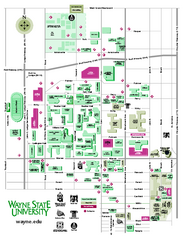
Wayne State University Map
Wayne State University Campus Map. All buildings shown.
333 miles away
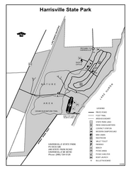
Harrisville State Park, Michigan Site Map
333 miles away
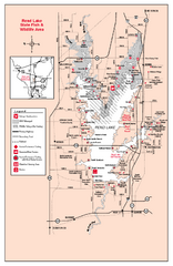
Rend Lake State Park, Illinois Site Map
334 miles away
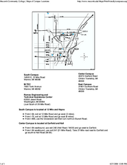
Macomb Community College Campus Map
Macomb Community College Campus Map. All buildings shown.
334 miles away
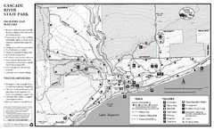
Cascade River State Park Map
Map of park with detail of trails and recreation zones
335 miles away
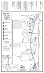
Camden State Park Summer Map
Map of park with detail of trails and recreation zones
335 miles away

