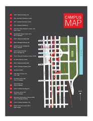
Columbia College Map
310 miles away

Columbia College Campus Map
Columbia College Campus Map. Shows all buildings.
310 miles away
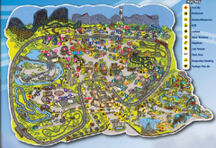
Six Flags St. Louis Map
Official Park Map of Six Flags St. Louis.
311 miles away

Camp Miakonda Map
311 miles away
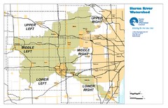
Huron River Watershed Map
Creek and watershed map of Huron River
311 miles away
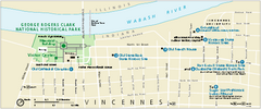
George Rogers Clark National Historical Park...
Official NPS map of George Rogers Clark National Historical Park in Indiana. Map shows all areas...
312 miles away
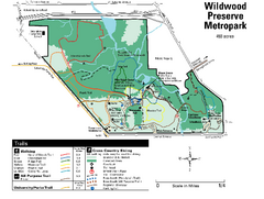
Wildwood Preserve Metropark Map
312 miles away

Vicennes and Knox County Indiana Visitor Map
Street map of Vicennes with maps of the entire state and county as well.
312 miles away
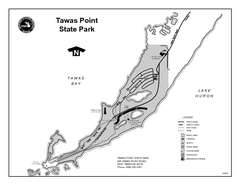
Tawas Point State Park, Michigan Site Map
312 miles away
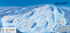
Pine Knob Ski Resort Ski Trail Map
Trail map from Pine Knob Ski Resort.
312 miles away
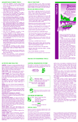
Brown County State Park, Indiana Site Map
313 miles away
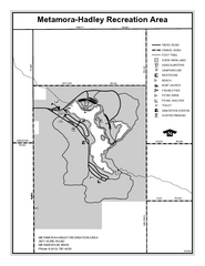
Metamora-Hadley State Park, Michigan Site Map
313 miles away

Spicer City Map
City map of Spicer, Minnesota with visitor's information
313 miles away

Farnsworth/Bend View Metropark Map
313 miles away
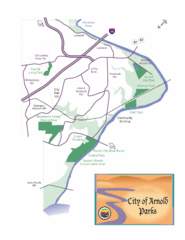
City of Arnold Parks Map
313 miles away
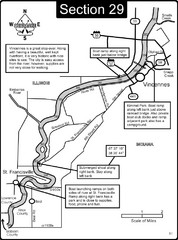
Vincennes, IN/ St. Francisville, IL Wabash River...
This is a page from the Wabash River Guidebook. The map shows important information for boaters and...
314 miles away
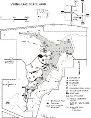
Viking Lake State Park Map
Map of trails, lake depths, fishing spots and park facilities in Viking Lake State Park.
314 miles away
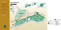
Side Cut Metropark Map
314 miles away

Swan Creek Metropark Map
314 miles away

Mackinak Island Road and Trail Map
316 miles away
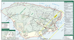
Mackinac Island Map
Tourist map of Mackinac Island, Michigan. Shows attractions.
317 miles away

Mackinak Island topography Map
317 miles away

Toledo Zoo Map
317 miles away
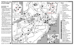
Tettegouche State Park Map
map of park with detail of trails and recreation zones
318 miles away
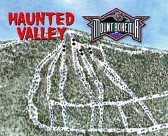
Mount Bohemia Haunted Valley Ski Trail Map
Trail map from Mount Bohemia.
318 miles away
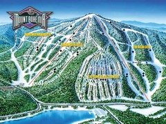
Mount Bohemia Frontside Ski Trail Map
Trail map from Mount Bohemia.
318 miles away
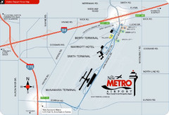
Detroit Metro Airport Area Map
319 miles away
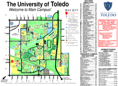
The University of Toledo Map
The University of Toledo Campus Map. All buildings shown.
319 miles away
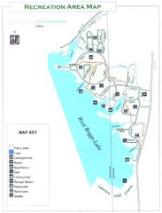
West Boggs Park Map
319 miles away
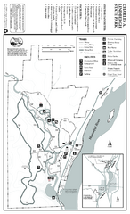
Charles A. Lindbergh State Park Map
Map of park with detail of trails and recreation zones
319 miles away
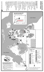
Lake Shetek State Park Summer Map
Summer seasonal map of park with detail of trails and recreation zones
320 miles away
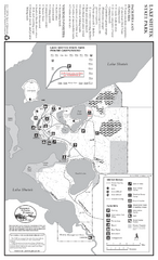
Lake Shetek State Park Winter Map
Winter seasonal map of park with detail of trails and recreation zones
320 miles away
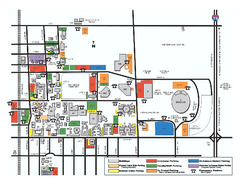
Bowling Green State University - Main Campus Map
Bowling Green State University - Main Campus Map. All buildings shown.
320 miles away
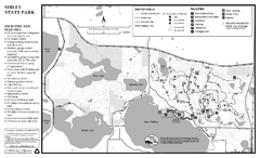
Sibley State Park Winter Map
Winter seasonal map of park with detail of trails and recreation zones
320 miles away
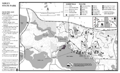
Sibley State Park Summer Map
map of park with detail of trails and recreation zones
320 miles away
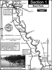
Columbus, IN White River East Fork Map
This is a page from the White River Guidebook. The map shows important information for boaters and...
320 miles away
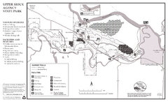
Upper Sioux Agency State Park Summer Map
Summer seasonal map of park with detail of trails and recreation zones
321 miles away
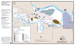
Upper Sioux Agency State Park Winter Map
Winter seasonal map of park with detail of trails and recreation zone
321 miles away
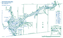
Lake Loramie State Park map
Detailed recreational map for Lake Loramie State Park in Ohio
321 miles away
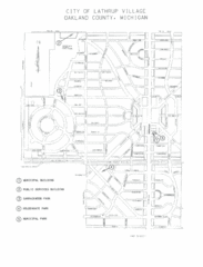
Lathrup Village Street Map
322 miles away

