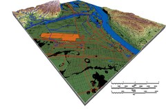
DEM SAUGET INDUSTRIAL PARK Map
OVERLAY OF TRIMBLE GPS VECTOR DATA OF SAUGET INDUSTRIAL PARK ONTO PAINTED DEM USING RGB COLOR MODEL...
301 miles away
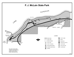
McLain State Park, Michigan Site Map
302 miles away
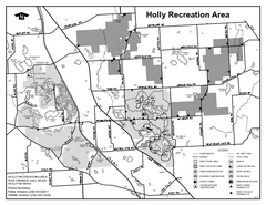
Holly State Recreation Area, Michigan Site Map
302 miles away
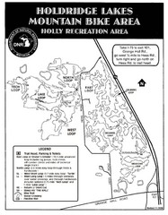
Holdridge Lakes Mountain Bike Map
Part of the Holly Recreation Area, the trail system consists of three loops: 1) A .75 mile loop...
302 miles away
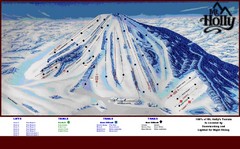
Mt. Holly Ski Area Ski Trail Map
Trail map from Mt. Holly Ski Area.
302 miles away
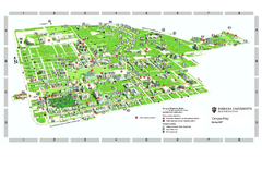
Indiana University - Bloomington Map
Campus map of Indiana University at Bloomington. All buildings shown.
303 miles away
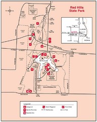
Red Hills, Illinois State Park Site Map
303 miles away
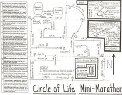
Circle of Life Mini-Marathon Map
Detailed Hand-Drawn Course for Circle of Life Mini-Marathon Map
303 miles away
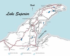
Keweenaw Peninsula Map
Map of the Keweenaw Peninsula, Michigan
303 miles away
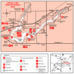
Clinton Lake, Illinois Site Map
303 miles away
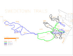
Swedetown Nordic Trail Map
Trail map of nordic ski trails in Swedetown, Michigan
303 miles away
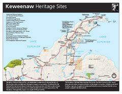
Keweenaw National Historical Park Official Map
Official NPS map of Keweenaw National Historical Park in Michigan. Map shows all areas. Park...
304 miles away
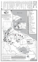
Mile Lacs Kathio State Park Summer Map
Summer seasonal map of park with detail of trails and recreation zones
304 miles away

Mile Lacs Kathio State Park Winter Map
Winter seasonal map of park with detail of trails and recreation zones
304 miles away
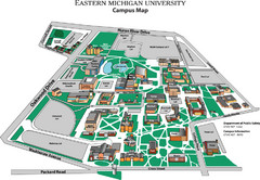
Eastern Michigan University Map
Map of EMU campus
304 miles away
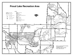
Proud Lake Recreation Area, Michigan Site Map
304 miles away
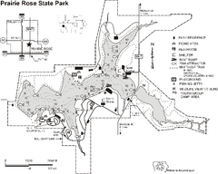
Prairie Rose State Park Map
Map of trails, lake depths, fishing spots and park facilities in Prairie Rose State Park.
305 miles away
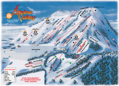
Alpine Valley Ski Trail Map
Trail map from Alpine Valley.
305 miles away
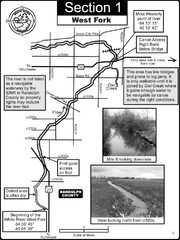
Winchester, IN Beginning of the White River-West...
This is a page from the White River Guidebook. The map shows important information for boaters and...
306 miles away
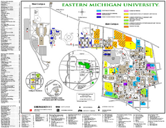
Eastern Michigan University Map
Eastern Michigan University Campus Map. All areas shown.
306 miles away

Oak Openings Metropark Map
306 miles away
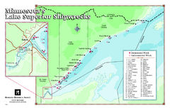
Minnesota's Lake Superior Shipwrecks Map
Guide to Lake Superior shipwrecks in Minnesota
306 miles away

Secor Metropark Map
306 miles away
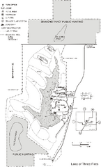
Lake of Three Fires State Park Map
Map of trails, hunting areas and lake access in Lake of Three Fires State Park.
306 miles away
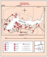
Sam Dale Lake, Illinois Site Map
307 miles away
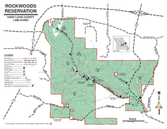
Map of Rockwoods Reservation, MO
Natural Area and hiking trails near St. Louis, MO.
307 miles away
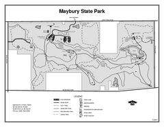
Maybury State Park, Michigan Site Map
307 miles away
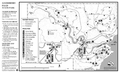
Gooseberry Falls State Park Winter Map
Winter season map of park with detail of trails and recreation zones
307 miles away
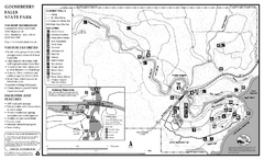
Gooseberry Falls State Park Map
Map of park with detail of trails and recreation zones
307 miles away
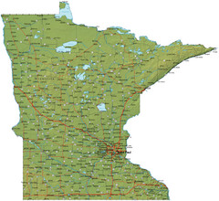
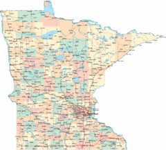
Minnesota Road Map
Minnesota road map with relief
308 miles away
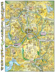
Brown County, Tennessee Tourist Map
308 miles away
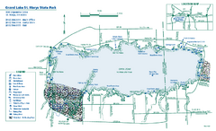
Grand Lake St. Marys State Park map
Detailed recreation map for Grand Lake St. Mary's State Park in Ohio
309 miles away

Hidden Valley Ski Trail Map
Trail map from Hidden Valley.
309 miles away

Hidden Valley Ski Trail Map
Official ski trail map of Hidden Valley ski area
309 miles away

Providence Metropark Map
309 miles away
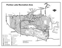
Pontiac Lake Recreation Area, Michigan Site Map
310 miles away
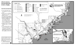
Split Rock Lighthouse State Park Summer Map
Summer seasonal map of park with detail of trails and recreation zones
310 miles away
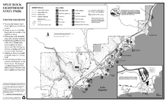
Split Rock Lighthouse State Park Winter Map
Winter seasonal map of park with detail of trails and recreation zones
310 miles away
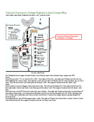
Oakland Community College Highland Lakes Campus...
Oakland Community College Highland Lakes Campus Map. Highland Lakes Campus is located in Waterford...
310 miles away

