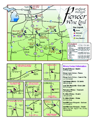
Pioneer Wine Trail Map
Tourist map of the Pioneer Wine Trail in Southeast Michigan. Shows wineries, vineyards, lodging and...
265 miles away
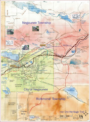
Negaunee Trail Map
Trail and street map of Negaunee are
265 miles away

Porcupine Mountain Ski Trail Map
Trail map from Porcupine Mountain.
266 miles away

Coffeen Lake, Illinois Site Map
266 miles away
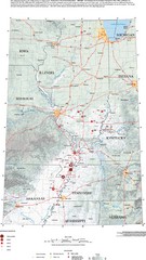
Earthquakes in the Central US Map
Map of central U.S. earthquakes from 1699 to 2002
267 miles away
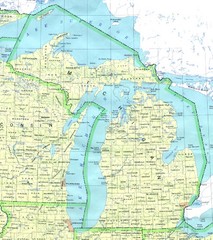
Lake Michigan Map
268 miles away
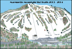
Marquette Mountain Ski Trail Map
Trail map from Marquette Mountain.
269 miles away
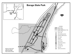
Baraga State Park, Michigan Site Map
271 miles away
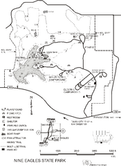
Nine Eagles State Park Map
Map of trails, lake depth and park facilities in Nine Eagles State Park.
271 miles away

Fort Defiance State Park Map
Map of hiking, equestrian and cross country skiing trails and park facilities of Fort Defiance...
271 miles away
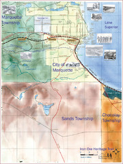
Marquette Trail Map
Trail and road map of Marquette and surrounding area
272 miles away
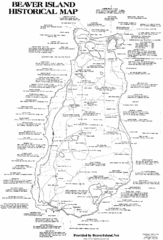
Beaver Island History Map
274 miles away
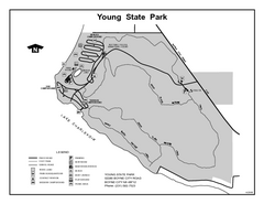
Young State Park, Michigan Site Map
274 miles away
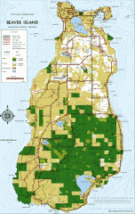
Beaver Island Michigan Map
Map of Beaver Island, Michigan. Created in 1977 by William Cashman and Edward Wojan. From...
274 miles away
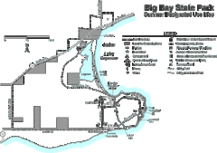
Big Bay State Park Map
Detailed map of nice hikes and stops around Big Bay State Park near Lake Superior.
274 miles away
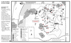
Lake Maria State Park Summer Map
Summer seasonal map of park with detail of trails and recreation zones
275 miles away
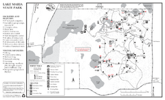
Lake Maria State Park Winter Map
Winter seasonal map of park with detail of trails and recreation zones
275 miles away
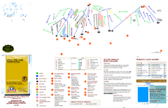
Boyne Highlands Ski Trail Map
Trail map from Boyne Highlands.
275 miles away
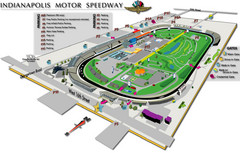
Indianapolis Motor Speedway Map
275 miles away
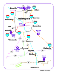
Indy Wine Trail Map
Map of the Indy Wine Trail of the Indianapolis area in Indiana. Shows wineries in the area.
276 miles away
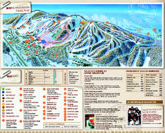
Boyne Mountain Ski Trail Map
Official ski trail map of Boyne Mountain ski area from the 2006-2007 season.
276 miles away
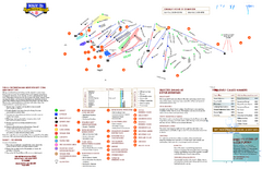
Boyne Mountain Ski Trail Map
Trail map from Boyne Mountain.
276 miles away
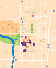
Indianapolis Center Map
Map of Indianapolis downtown center
278 miles away
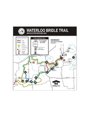
Waterloo State Recreation Area Bridle Trails Map
The Waterloo State Recreation Area has 12 miles of bridle trails and a horse campground.
278 miles away
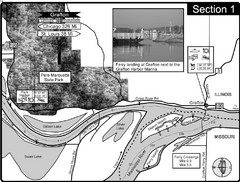
Grafton, IL Illinois River/Mississippi River/Pere...
This is the end of the Illinois River at the confluence with the Mississippi River. For boating...
278 miles away
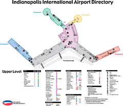
Indianapolis International Airport Terminal Map
Official map of Indianapolis International Airport. Shows all Upper Level Terminals.
278 miles away
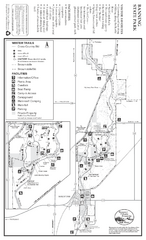
Banning State Park Winter Map
Map of park with detail of trails and recreation zones
278 miles away
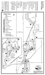
Banning State Park Summer Map
Map of park with detail of trails and recreation zones
278 miles away
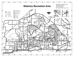
Waterloo State Recreation Area Map
The park is over 20,000 acres and has 4 campgrounds, beaches, picnic areas, 11 fishing lakes...
279 miles away
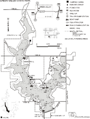
Green Valley State Park Map
Map of trails, lake depths, fishing spots and park facilities for Green Valley State Park.
279 miles away
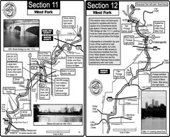
Indianapolis, IN White River West Fork Map
This is a page from the White River Guidebook. The map shows important information for boaters and...
279 miles away
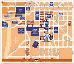
Downtown Indianapolis Map
279 miles away
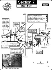
Anderson, IN & Mounds State Park Wabash River...
This is a page from the White River Guidebook. The map shows important information for boaters and...
279 miles away
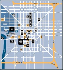
Indianapolis Tourist Map
280 miles away
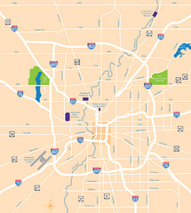
Indianapolis Map
Map of Indianapolis are
280 miles away
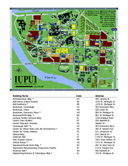
Indiana University Purdue University Indianapolis...
Campus Map of Indiana University Purdue University Indianapolis. All areas shown.
280 miles away

Attractions in Alton, Illinois Map
Tourist map of Alton, Illinois. Museums, monuments, and other points of interest are shown.
280 miles away
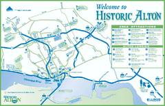
Historic Attractions in Alton, Illinois Map
Tourist map of historic attractions in Alton, Illinois. Shows museums, monuments, and lodging.
280 miles away
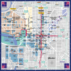
Downtown Indianapolis Map
This large map of downtown Indianapolis.
280 miles away

