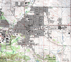
Marion Iowa Topo Map
USGS topo map of Marion, Iowa
369 miles away
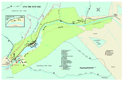
Little Pine State Park Map
Detailed recreation map for Little Pine State Park in Pennsylvania
369 miles away
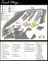
Ski Sawmill Ski Trail Map
Trail map from Ski Sawmill.
370 miles away
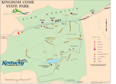
Kingdom Come State Park Map
Trail map for Kingdom Come State Park.
371 miles away

Hills Creek State Park map
Detailed map of Hills Creek State Park in Pennsylvania
371 miles away
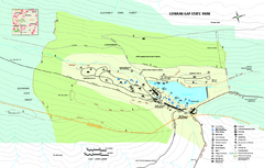
Cowans Gap State Park map
Detailed recreation map for Cowans Gap State Park in Pennsylvania
372 miles away
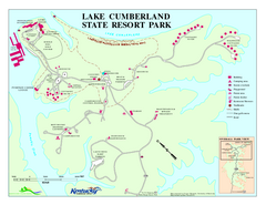
Lake Cumberland State Resort Park Map
Map of trails and facilities for Lake Cumberland State Resort Park.
372 miles away

Central Kentucky Trail Map
372 miles away
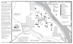
Great River Bluffs State Park Winter Map
Winter season map of park with detail of trails and recreation zones
372 miles away
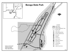
Baraga State Park, Michigan Site Map
372 miles away
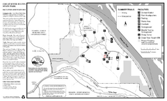
Great River Bluffs State Park Summer Map
Summer season map of park with detail of trails and recreation zones
372 miles away

Poe Valley State Park map
Detailed recreation map for Poe Valley State Park in Pennsylvania
372 miles away
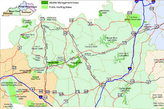
Green River Area Hunting Map
Map marking highways, forests, parks and hunting zones in Kentucky's beautiful Green River...
373 miles away
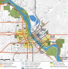
Cedar Rapids Tourist Map
373 miles away
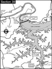
Lake Cumberland-Cumberland River Map
Lake Cumberland is formed by a dam on the Cumberland River in Section 39 of the Cumberland River...
374 miles away
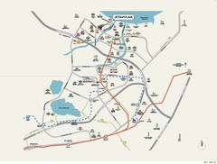
Stratum Condominium in Singapore Map
Stratum Condominium in Singapore offers great units and facilities to all their clients. With high...
374 miles away
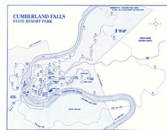
Cumberland Falls State Resort Park Map
Cumberland Falls Park Area Map
374 miles away
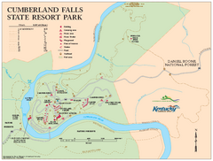
Cumberland Falls State Resort Park map
Detailed recreation map for Cumberland Falls State Resort Park in Kentucky
374 miles away
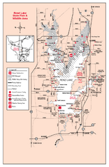
Rend Lake State Park, Illinois Site Map
374 miles away
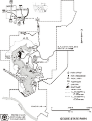
Geode State Park Map
Map of trails, lake depths and park facilities for Geode State Park.
374 miles away

Reeds Gap State Park map
Detailed recreation map of Reeds Gap State Park in Pennsylvania
374 miles away
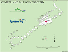
Cumberland Falls Map
375 miles away
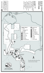
Beaver Creek Valley State Park Map
Map of park with detail of trails and recreation zones
376 miles away
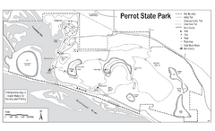
Perrot State Park Map
Have a wonderful vacation hiking through this natural setting.
376 miles away

Siloam Springs State Park, Illinois Map
377 miles away
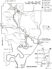
Volga River State Recreation Area Map
Map of trails and park facilities in Volga River State Recreation Area.
377 miles away
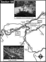
Harlan, KY-Cumberland River Headwaters Map
Section 58 of the Cumberland River Guidebook shows the beginning of the Cumberland River at the...
377 miles away

Brantling Ski Slopes Ski Trail Map
Trail map from Brantling Ski Slopes.
378 miles away
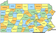
Pennsylvania Counties Map
379 miles away
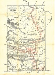
Lehigh Valley Railroad Historical Map
Built in 1846, this railroad was built primarily to haul coal. It was also known as the Route of...
379 miles away
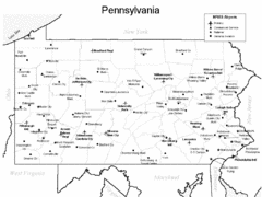
Pennsylvania Airports Map
379 miles away
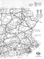
Eastern Pennsylvania Road Map
379 miles away
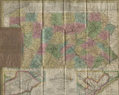
Pennsylvania Tourist Pocket Map
The map is dated 1820-31 by counties shown and comes from Anthony Finley's A New General Atlas...
379 miles away
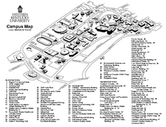
Western Kentucky University Map
Western Kentucky University Campus Map. All buildings shown
379 miles away
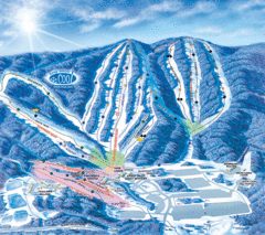
Whitetail Ski Resort Ski Trail Map
Trail map from Whitetail Ski Resort.
379 miles away
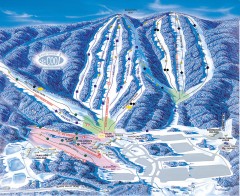
Whitetail Ski Trail Map
Official ski trail map of Whitetail Resort ski area.
379 miles away
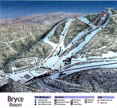
Bryce Resort Ski Trail Map
Trail map from Bryce Resort.
380 miles away
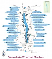
Seneca Lake Wine Trail Map
Winery tour map of Seneca Lake area in New York. Shows all vineyards that are members of the wine...
380 miles away

Attractions in Alton, Illinois Map
Tourist map of Alton, Illinois. Museums, monuments, and other points of interest are shown.
380 miles away
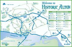
Historic Attractions in Alton, Illinois Map
Tourist map of historic attractions in Alton, Illinois. Shows museums, monuments, and lodging.
380 miles away

