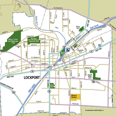
Lockport, New York Map
Map of downtown Lockport, New York, with parks, hospitals, and other points of interest shown.
297 miles away
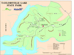
Taylorsville Lake State Park Map
Map of trails and facilities in Taylorsville Lake State Park.
297 miles away
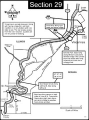
Vincennes, IN/ St. Francisville, IL Wabash River...
This is a page from the Wabash River Guidebook. The map shows important information for boaters and...
298 miles away
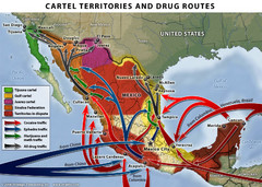
Mexican Drug Cartel Territories and Routes Map
299 miles away

Edward R. Madigan State Park, Illinois Site Map
299 miles away
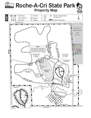
Roche A Cri State Park Map
Marked hiking trails for this State Park easily read on this map.
299 miles away
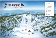
Mount Dufour Ski Trail Map
Trail map from Mount Dufour, which provides downhill skiing. This ski area has its own website.
299 miles away
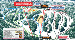
Norway Mountain Ski Trail Map
Trail map from Norway Mountain.
300 miles away
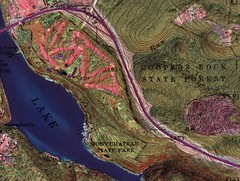
Coopers Rock State Forest Topo Map
Map shows parks and elevations
300 miles away

Kinzua Bridge State Park Map
Detailed map of Kinzua Bridge State Park in Pennsylvania.
301 miles away

Bendigo State Park map
Detailed map of Bendigo State Park in Pennsylvania
302 miles away

Shelbyville Fish and Wildlife Area, Illinois Map
302 miles away

Yellow Creek State Park map
Recreation map for Yellow Creek State Park in Pennsylvania
302 miles away
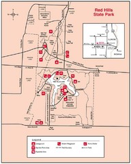
Red Hills, Illinois State Park Site Map
303 miles away
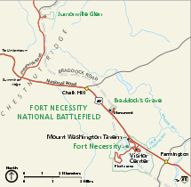
Fort Necessity National Battlefield Official Map
Official NPS map of Fort Necessity National Battlefield in Pennsylvania. The park is open daily...
303 miles away
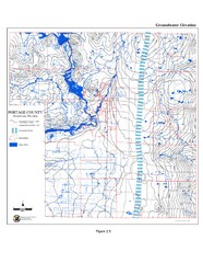
Groundwater Elevation of Portage County Map
Using the water table elevation map, generalized groundwater flow directions can be estimated.
303 miles away
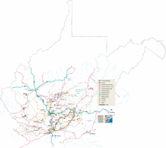
Southern West Virginia Tourist Map
Cities in the southern part of West Virginia.
303 miles away
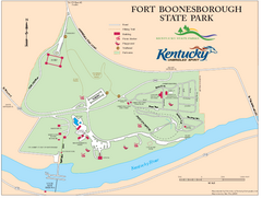
Fort Boonesborough State Park Map
Map of trails, historical sites and facilities at Fort Boonesborough State Park.
304 miles away
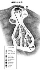
Mystic Mountain at Nemacolin Woodlands Resort Ski...
Trail map from Mystic Mountain at Nemacolin Woodlands Resort.
304 miles away
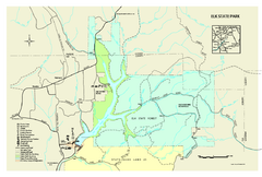
Elk State Park map
Detailed map of Elk State Park in Pennsylvania.
304 miles away
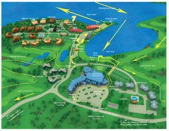
Subaru Ironman Full Resort Map
Overview of Staging areas for Ironman race,
305 miles away
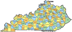
Kentucky Counties Map
305 miles away
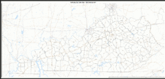
Kentucky Zip Code Map
Check out this Zip code map and every other state and county zip code map zipcodeguy.com.
305 miles away
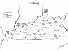
Kentucky Airports Map
305 miles away
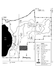
Pike Lake Map
Detailed trail map of area surrounding Pike Lake.
305 miles away

Linn Run State Park map
Detailed map of Linn Run State Park and Laurel Mountain State Park in Pennsylvania
305 miles away
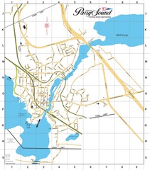
Parry Sound Town Map
306 miles away
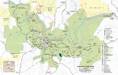
Ohiopyle State Park map
Detailed recreation map for Ohiopyle State Park in Pennsylvania.
306 miles away
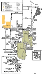
Buckhorn State Park Map
Hiking trails and fun locations marked on this map.
306 miles away
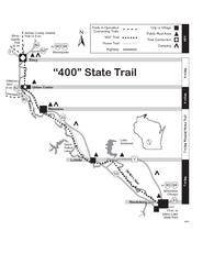
400 State Trail Map
Long and beautiful trail through Wisconsin's finest.
306 miles away
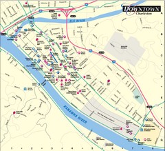
Charleston WV City Map
City map of downtown Charleston, West Virginia. Shows points of interest.
306 miles away

Chestnut Mountain Resort Farside Ski Trail Map
Trail map from Chestnut Mountain Resort, which provides downhill, night, and terrain park skiing...
307 miles away

Chestnut Mountain Trail Map
Trail map taken from website Jan 2008
307 miles away

Seven Springs Mountain Resort Ski Trail Map
Trail map from Seven Springs Mountain Resort.
307 miles away
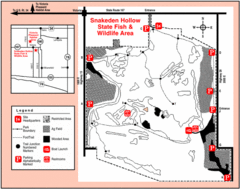
Snakeden Hollow State Park, Illinois Site Map
308 miles away
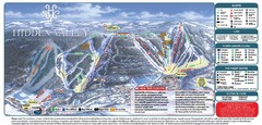
Hidden Valley Ski Trail Map
Trail map from Hidden Valley.
308 miles away

Bellevue State Park Map
Map of hiking trails, public hunting area and facilities of Bellevue State Park.
308 miles away
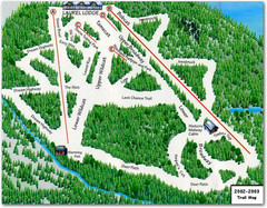
Laurel Mountain Ski Resort Ski Trail Map
Trail map from Laurel Mountain Ski Resort.
308 miles away

