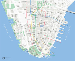
Lower Manhattan Map
73 miles away
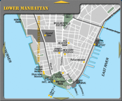
Lowe Manhattan New York City Tourist Map
73 miles away
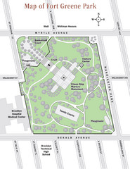
Fort Greene Park Map
Overview map of Fort Greene Park. Shows the park's historic structures and recreational...
73 miles away
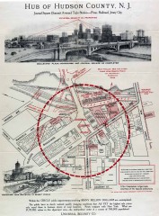
Antique map of Jersey City from 1925
Antique map of Jersey City, New Jersey from 1925.
73 miles away
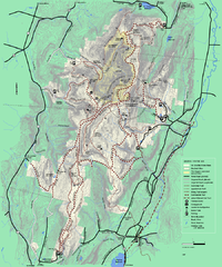
Mt. Greylock State Reservation winter trail map
Winter use trail map of Mt. Greylock State Park in Massachusetts.
73 miles away
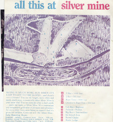
Silver Mine Credit to chris lundquist Ski Trail...
Trail map from Silver Mine, which provides downhill skiing.
73 miles away
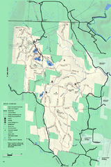
Savoy Mountain winter map
Winter use map of Savoy Mountain in Massachusetts.
73 miles away
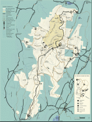
Mt. Greylock State Reservation map
Official summer map of the Mount Greylock State Reservation. At 3,491 feet, Mount Greylock is the...
73 miles away
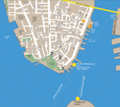
Lower Manhattan Area Map
73 miles away
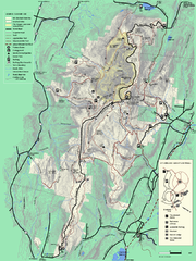
Mt. Greylock State Reservation summer trail map
Summer trail map of the Mt. Greylock State Park area in Massachusetts.
73 miles away
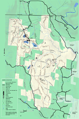
Savoy Mountail trail map
Trail map for Savoy Mountain in Massachusetts.
74 miles away
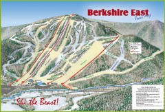
Berkshire East Ski Trail Map
Official ski trail map of Berkshire East ski area from the 2007-2008 season.
74 miles away
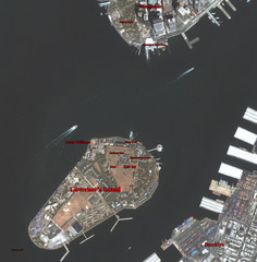
Governor's Island Map
Aerial photo view map of Governor's Island, New York
74 miles away
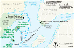
Statue of Liberty National Monument Map
Official NPS map of Statue of Liberty National Monument. Shows Statue of Liberty, Ellis Island, and...
74 miles away
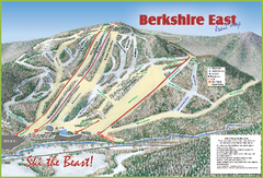
Berkshire East Ski Area Ski Trail Map
Trail map from Berkshire East Ski Area.
74 miles away
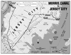
Jersey City Map
74 miles away
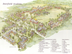
Deerfield Academy Campus Map
Shows buildings and facilities of Deerfield Academy. Scanned.
74 miles away
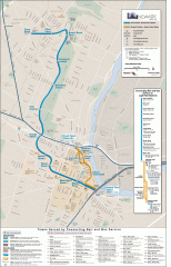
Newark Light Rail system Map
Newark Light rail system
74 miles away
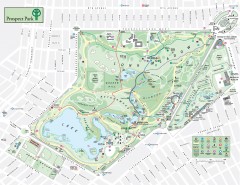
Prospect Park Map
Overview map of Prospect Park, a 585-acre city park located in the heart of Brooklyn. Designed by...
74 miles away
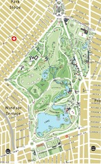
Prospect Park Map
74 miles away
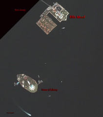
Ellis Island and Statue of Liberty Map
Aerial map of Ellis Island and the Statue of Liberty
74 miles away
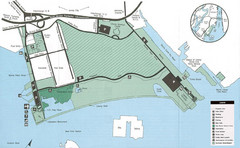
Liberty State Park Map
Map of Liberty State Park, New Jersey on the New York Harbor and next to Ellis Island. Shows...
74 miles away
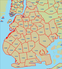
Brooklyn zip codes Map
74 miles away
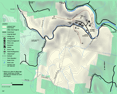
Mohawk Trail State Forest map
Map of the Mohawk Trail State Forest in Charlemont, Massachusetts.
74 miles away
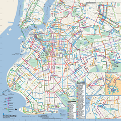
Brooklyn, New York Bus Map
Official MTA Bus Map of Brooklyn, New York. Shows all routes.
74 miles away
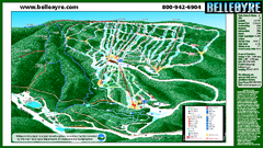
Belleayre Mountain Ski Trail Map
Trail map from Belleayre Mountain.
74 miles away
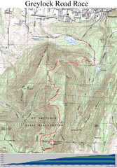
Mt. Greylock Road Race Course Map
Course map of the annual Mount Greylock Road Race. 8 Miles (uphill). Start/Finish: Mt. Williams...
75 miles away
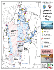
Quabbin Reservoir Fishing Map
Fishing access map of Quabbin Reservoir. Shows all ponds and submerged ponds.
75 miles away
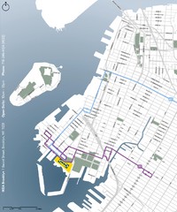
IKEA Brooklyn Map
Location map and map of bus routes and access streets to IKEA in Brooklyn, NY.
75 miles away
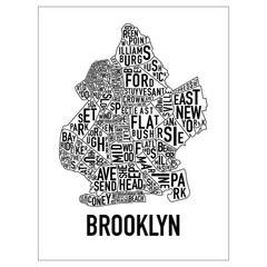
Brooklyn Neighborhood Art Map
Artistic neighborhood map of Brooklyn
75 miles away
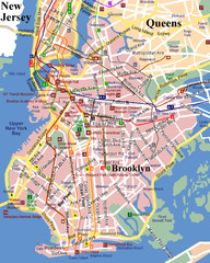
Brooklyn, Attractions Map
75 miles away

NYC Biking Route Map (Part of Queens, Brookyln...
Official biking route map of part of Queens, Brookyln and Staten Island
75 miles away
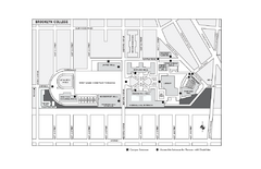
Brooklyn College Campus Map
Brooklyn College Campus Map. All buildings shown.
76 miles away
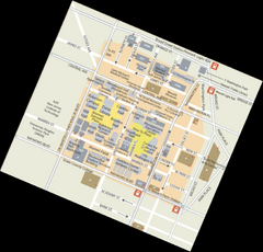
Rutgers University Map
76 miles away
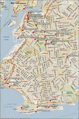
Brooklyn Attractions map
Map of attractions and points of interest in Brooklyn, New York.
76 miles away
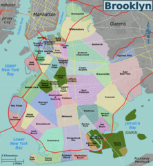
Brooklyn, Neighborhoods Map
76 miles away
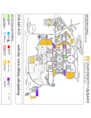
University at Albany Map
Campus Map of the University at Albany. All buildings shown.
78 miles away
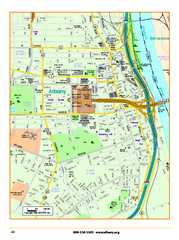
Albany downtown map
Road map of downtown Albany, NY. Shows city parks and New York State government buildings.
78 miles away
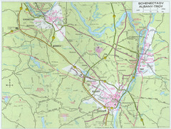
Albany, New York City Map
78 miles away
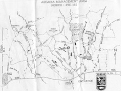
Arcadia Management Area State Map
Trail map for Arcadia Management Area in Rhode Island
78 miles away

