Map of Fire Island National Seashore
Official Map of Fire Island National Seashore in New York. Shows all towns and information.
67 miles away
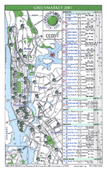
Green Markets in NYC Map
A map of all the green markets in the 5 boroughs of New York City.
67 miles away
Riverside Park Map
Map of Riverside Park, New York. Illustrates all recreational activities, trails, bus stops and...
67 miles away
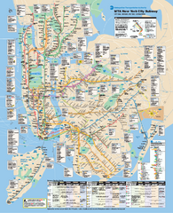
New York City MTA Subway Map
Official subway map for New York City
67 miles away
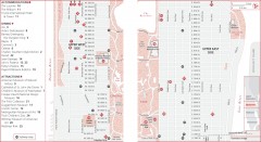
Uptown Manhattan, New York Map
Tourist map of uptown Manhattan in New York City, New York. Attractions, accommodations, and...
67 miles away
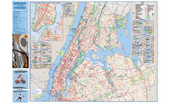
NYC Biking Route Map (Manhattan & Queens)
Official NYC biking map of Manhattan and Queens.
67 miles away
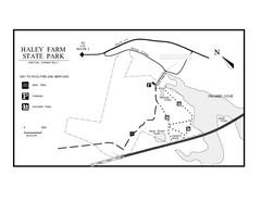
Haley Farm State Park map
Trail map of Haley Farm State Park in Connecticut.
67 miles away
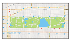
Central Park, New York Map
Central Park, New York map. A very detailed map with all roads, metro station and importand...
67 miles away
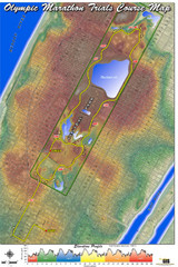
Olympic Trials Course Map
Elevation of the 2008 olympic trials marathon course in New York's Central Park.
67 miles away
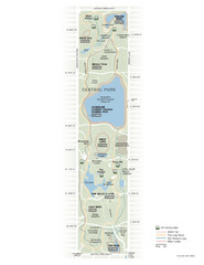
Central Park Fitness Map
Guide to fitness and training in Central Park, New York
67 miles away
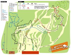
Hunter Mountain Bike Park Map
Map of bike trails in park
67 miles away

Upper West Side NYC Map 1879
Likely the first printed map of Manhattan's Upper West Side. Map is titled 'The West End...
67 miles away
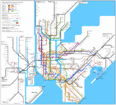
New York Subway Map
The subway and nearby railways in New York City
67 miles away

The Metropolitan Museum of Art Floor Plan Map
Official Floor Plan for the Metropoltan Museum of Art in New York City. All areas and exhibits...
67 miles away

Upper West Side Map
printable map of Upper West Side, with major landmarks noted
67 miles away

Manhattan Bus Map
67 miles away

Floor Plan of the Museum of Natural History, New...
Official Floor Plan of the Museum of Natural History in New York. All areas and exhibits shown.
67 miles away
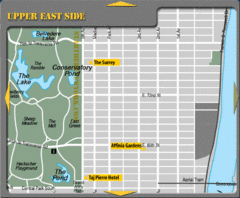
Upper East Side New York Hotel Map
67 miles away

Topographical Atlas of the City of New York Map
Topographical Atlas of the City of New York including the annexed territory, showing original water...
68 miles away
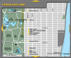
Maison Ave New York City Shopping Map
68 miles away
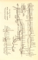
1904 New York City Subway Map
The New York City Subway Map in 1904
68 miles away
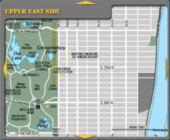
Upper East Side New York Tourist Map
68 miles away
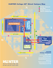
Hunter College Campus Map
Hunter College Campus Map. Located in New York City. Shows all areas.
68 miles away
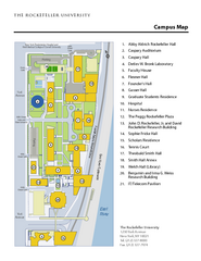
Rockefeller University Campus Map
Campus map of Rockefeller University in New York City.
68 miles away
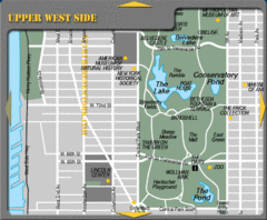
Upper West Side New York Tourist Map
68 miles away

Central Park, New York City Bike Map
68 miles away
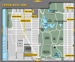
Upper West Side New York Hotel Map
68 miles away
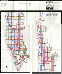
1974 Manhattan Bus Map
68 miles away
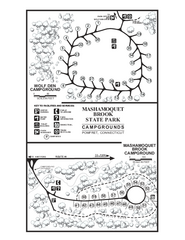
Mashamoquet Brook State Park campground map
Campground map of Mashamoquet Brook State Park in Connecticut.
68 miles away
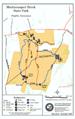
Mashamoquet Brook State Park trail map
Trail map of Mashamoquet Brook State Park in Connecticut.
68 miles away
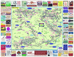
North County Berkshires map
Tourist map of North County - Pittsfield, N. Adams, Adams, Lanesboro, Cheshire, Williamstown...
68 miles away
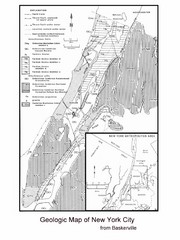
New York City Geological Map
Bedrock map of New York City
68 miles away
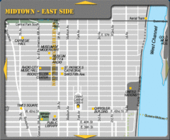
Midtown East Side New York City Map
68 miles away
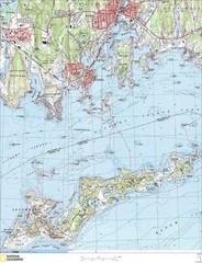
Fishers Island Map
In Long Island Sound
68 miles away

Midtown East Side New York City Hotel Map
69 miles away
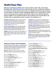
Floor Map of the Museum of Modern Art, New York
Official Floor Map of the MOMA in New York, NY. All floors and exhibits shown.
69 miles away
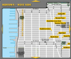
Midtown West Side New York City Hotel Map
69 miles away
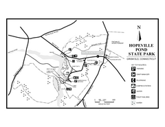
Hopeville Pond State Park trail map
Trail map for Hopevill Pond State Park in Connecticut
69 miles away
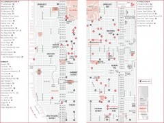
Midtown Manhattan, New York Map
Tourist map of midtown Manhattan in New York City, New York. Shows accommodations, restaurants, and...
69 miles away

