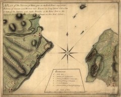
Oyster Bay and Huntington, Huntington Bay Map
A plan of the Narrows of Hells-gate in the East River, near which batteries of cannon and mortars...
62 miles away
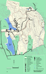
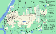
DAR State Forest summer map
Summer use map of the Daughters of the American Revolution state forest.
62 miles away
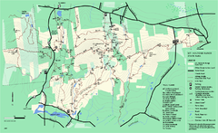
Mount Holyoke Range State Park Map
Trail map of Holyoke Range State Park.
62 miles away
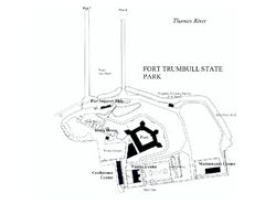
Fort Trumbull State Park map
Map of Fort Trumbull State Park in Connecticut.
62 miles away
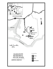
Harkness Memorial State Park map
Trail map of Harkness Memorial State Park in Connecticut.
62 miles away

Palmer Motorsports Park Map
Track Map for Proposed Palmer Motorsports Park
63 miles away
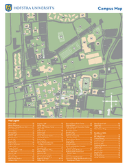
Hofstra University Campus Map
63 miles away
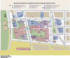
Columbia University Medical Center Map
63 miles away
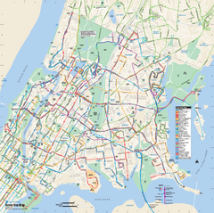
Bronx, New York Bus Map
Official MTA Bus Map of all of the Bronx, New York. Shows all routes.
63 miles away
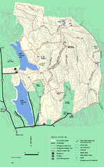
DAR State Forest winter map
Winter use map of the Daughters of the American Revolution State Forest.
63 miles away
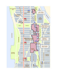
Hamilton Heights West Harlem Map
Hamilton Heights - West Harlem, New York City community map
64 miles away
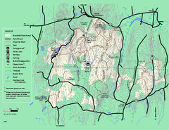
Brimfield State Forest trail map
Trail map of Brimfield State Forest in Massachusetts
64 miles away
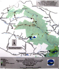
Northern Catskill Trail Map
Trail map shows hiking trails in the northern Catskills of New York. Shows trails in Windham High...
64 miles away
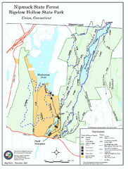
Bigelow Hollow State Park trail map
Trail map of Bigelow Hollow State Park in Connecticut.
64 miles away
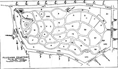
Flushing Cemetery Map
Map of the sections of Flushing Cemetery in Queens
65 miles away
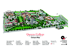
Queens College Campus Map
3D map of Queens College campus. All buildings shown.
65 miles away
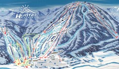
Hunter Mountain Trail Map
Ski trail map
65 miles away

Broadway Elevation Map
Illustrative section of Broadway, from 125th Street to 134th Street, looking east
65 miles away
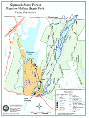
Nipmuck State Forest trail map
Trail map of Nipmuck State Forest and Bigelow Hollow State Park in Connecticut.
65 miles away
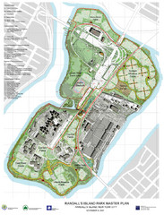
Randall's Island Park Map
Master plan for Randall's Island Park
65 miles away
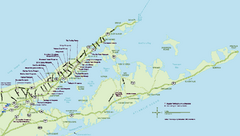
Long Island Wineries Map
Map of LIWC member wineries offering wine tastings to the public.
65 miles away

Manhattan Waterfront Greenway Bike Map
Bike map of the Manhattan Waterfront Greenway. Shows walking and biking paths, ferry landings and...
65 miles away
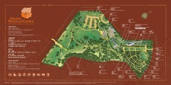
Queens Botanical Garden Map
Shows facilities and names of different gardens. In many languages.
65 miles away
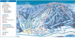
Hunter Mountain ski trail map
Official ski trail map of Hunter Mountain ski area from the 2006-2007 season.
65 miles away
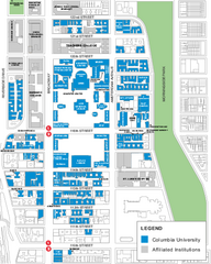
Columbia University Map
Campus map of Columbia University. All buildings shown.
65 miles away
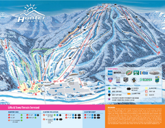
Hunter Mountain Ski Bowl Ski Trail Map
Trail map from Hunter Mountain Ski Bowl.
65 miles away
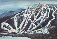
Brodie Ski Trail Map
Trail map from Brodie.
66 miles away
Upper Riverside Park Map
Riverside Park Map, Visitor Information as well as streets, bus routes, places to jog and bike.
66 miles away
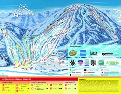
Hunter Mountain Trail Map
66 miles away
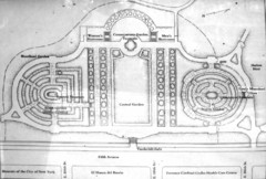
Central Park Conservatory Garden Map
Map of the Conservatory Garden in Central Park, New York City. Photo of outdoor map.
66 miles away
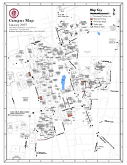
University of Massachusetts - Amherst Map
Campus Map of the University of Massachusetts - Amherst. All buildings shown.
66 miles away
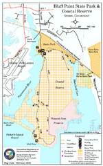
Bluff Point State Park map
Trail map for Bluff Point State Park and Coastal Reserve.
66 miles away
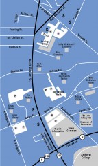
Downtown Amherst, Massachusetts Map
Tourist map of downtown Amherst, Massachusetts, showing attractions, government buildings, atms...
66 miles away
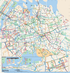
Queens, New York Bus Map
Official MTA Bus Map of Queens, NY. Shows all routes.
66 miles away
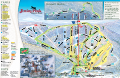
Jiminy Peak Resort Ski Trail Map
Trail map from Jiminy Peak Resort.
66 miles away
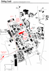
University of Massachusetts Amherst Parking Map
Map of the University of Massachusetts. Includes all buildings, streets, and parking information.
66 miles away
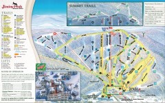
Jiminy Peak Ski Trail Map
Official ski trail map of Jiminy Peak ski area from the 2007-2008 season.
66 miles away

