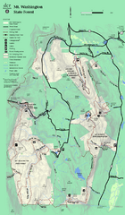
Cockaponset State Forest North Section trail map
Trail map for the north section of Cockaponset State Forest in Connecticut
39 miles away
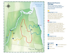
Black Creek Trail Preserve Map
Trail map of Black Creek Preserve on the Hudson River in New York. Shows Yellow Trail, Red Trail...
40 miles away

Cockaponset State Forest South Section trail map
Trail map for the South Section of Cockaponset State Forest in Connecticut.
40 miles away
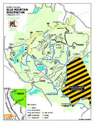
Blue Mountain Reservation Mountain Bike Trail Map
Mountain biking map of the Blue Mountain Reservation from the Westchester Mountain Biking...
40 miles away
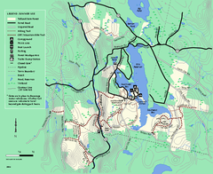
Tolland State Forest summer trail map
Summer use map for Tolland State Forest in Massachusetts.
41 miles away
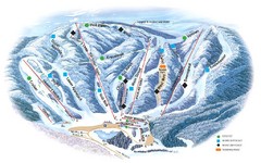
Butternut Ski Area Ski Trail Map
Trail map from Butternut Ski Area.
41 miles away
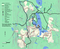
Tolland State Forest winter trail map
Winter usage trail map of the Tolland State Forest area in Massachusetts.
41 miles away
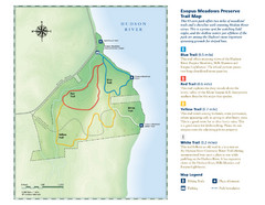
Esopus Meadows Preserve Trail Map
Trail map of Esopus Meadows Preserve park on the Hudson River.
41 miles away
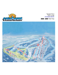
Catamount Ski Area Ski Trail Map
Trail map from Catamount Ski Area.
41 miles away
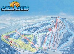
Catamount Ski Trail Map
Official ski trail map of Catamount ski area from the 2006-2007 season.
42 miles away
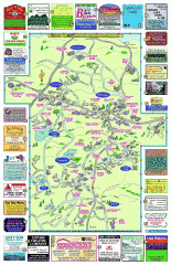
Columbia County - Boston Corners, Copake, Copake...
Tourist map of Columbia County, Mass. Includes towns of Boston Corners, Copake, Copake Falls...
43 miles away

Hammonasset Beach State Park campground map
Campground map of Hammonasset State Park in Connecticut.
43 miles away

Salmon River State Forest trail map
Trail map for Salmon River State Forest in Connecticut.
43 miles away
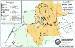
Gay City State Park trail map
Trail map of Gay City State Park in Connecticut.
43 miles away

Hammonasset Beach State Park map
Trail map for Hammonasset Beach State Park in Connecticut.
43 miles away
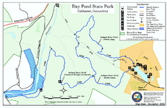
Daypond State Park map
Trail map for Day Pond State Park
43 miles away
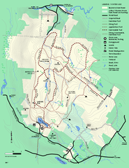
Beartown State Park Winter Map
Winter use map of Beartown State Park in Massachusetts
44 miles away

Poets Walk Trail Map
Guide to Poet's Walk and Hudson River Overlook
44 miles away
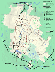
Beartown State Park Summer Map
Summer Map of Beartown State Park in Massachusetts.
44 miles away
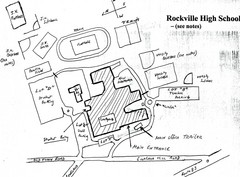
Rockville High School Map
Hand-drawn map of Rockville High School includes all buildings, Parking Lots, and sports fields.
44 miles away
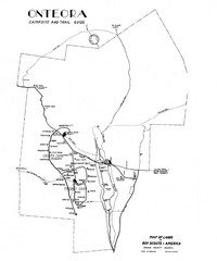
Onteora District Map
Boy Scouts Map of Onteora
44 miles away
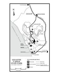
Gillette State Park trail map
Trail map of Gillette Castle State Park in Connecticut.
44 miles away
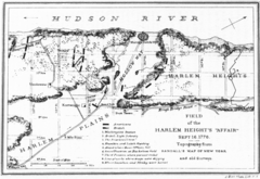
Harlem Hieghts Affair Map
Topography of the field during the battle on Sept 16 1776
44 miles away

Six Flags New England Theme Park Map
Official Park Map of Six Flags New England in Massachusetts.
45 miles away
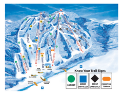
Blandford Ski Area Ski Trail Map
Trail map from Blandford Ski Area.
45 miles away
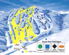
Blandford Ski Trail Map
Official ski trail map of Blandford ski area
45 miles away
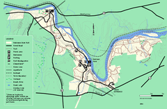
Robinson State Park trail map
Trail map of Robinson State Park in Massachusetts.
46 miles away
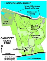
Caumsett State Park Map
Park map of Caumsett State Park on Long Island Sound, New York
47 miles away
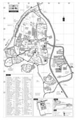
Stony Brook University Map
47 miles away
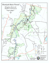
Trail map of Shenipsit State Forest
Trail map of Shenipsit State Forest in Connecticut.
47 miles away
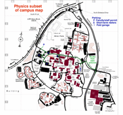
University of New York at Stony Brook Campus Map
48 miles away
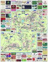
South County Berkshires map
Tourist map of Great Barrington, Housatonic, Sheffield, S. Egremont, N. Egremont Lenox, Stockbridge...
48 miles away
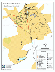
Devils Hophard State Park map
Trail and camprground map for Devils Hopyard State Park in Connecticut.
48 miles away
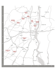
Shawangunk Wine Trail Map
Map of the Shawangunk Wine Trail on the Hudson River in New York. Shows all vineyards and wineries...
48 miles away
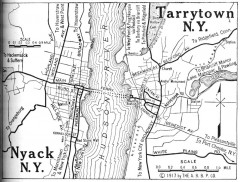
Antique map of Nyack and Tarrytown from 1917
Map of Nyack and Tarrytown, NY from Automobile Blue Book, 1917, Vol. 3
49 miles away

Urban Neighborhood Map: Long Island Map
This Urban Neighborhood Poster of Long Island is a modern twist on traditional maps. The typography...
49 miles away
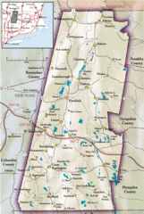
Berkshires Map
Overview map of the Berkshires region of Western Massachusetts
51 miles away
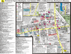
Huntington, New York Restaurant Map
51 miles away
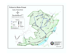
Nehantic State Forest map
Trail map of Nehantic State Forest in Connecticut.
51 miles away

