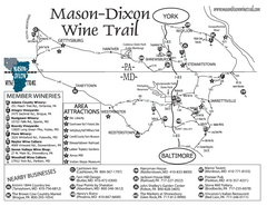
Mason-Dixon Wine Trail Map
Map of the Mason-Dixon Wine Trail, showing area wineries, historical sites, and lodging.
234 miles away
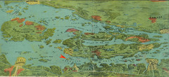
Wellesley Island Illustrated Map
Colorized illustration from "Thousand Islands" viewbook.
234 miles away
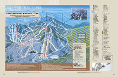
Jay Peak Ski Trail Guide Map
Official ski trail map of Jay Peak ski area from the 2006-207 season.
234 miles away
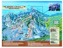
Jay Peak Ski Trail Map
Trail map from Jay Peak.
234 miles away
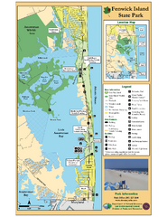
Fenwick Island State Park Map
Great state park map with clear key.
234 miles away
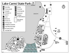
Lake Carmi State Park Campground Map
Capground of Lake Carmi State Park in Vermont
234 miles away
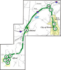
Alfred-Hornell Bus Route Map
235 miles away
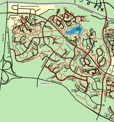
Burke Centre Area Trail Map
235 miles away

Colonel Denning State Park map
Detailed map of Colonel Dening State Park in Pennsylvania
235 miles away
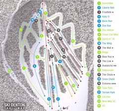
Ski Denton Ski Trail Map
Trail map from Ski Denton.
237 miles away
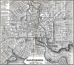
Antique Map of Baltimore from 1869
Antique map of Baltimore Maryland from Appletons' Hand-Book of American Travel. Published in...
237 miles away
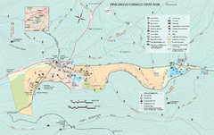
Pine Grove Furnace State Park map
Detailed recreation map for Pine Grove Furnace State Park in Pennsylvania
237 miles away
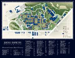
The Johns Hopkins University Map
The Johns Hopkins University Campus Map. All buildings shown.
238 miles away
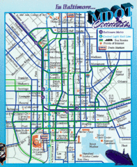
Baltimore, Maryland City Map
238 miles away
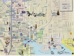
Baltimore Tourist Map
238 miles away
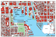
Baltimore Harbor Map
Guide to Baltimore, Maryland harbor
238 miles away
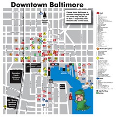
Downtown Baltimore Tourist Map
Map of Food, Hotels and Major Attractions surrouding the Baltimore Convention Center in Baltimore...
238 miles away
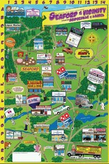
Seaford Delaware Cartoon Map
239 miles away

Penn-Roosevelt State Park map
Recreation map for Penn Roosevelt State Park in Pennsylvania
239 miles away

Digital Elevation Model (DEM) of Conesus Lake Map
Digital Elevation Model (DEM) of Conesus Lake Map created in ARC Gis
240 miles away
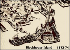
Blockhouse Island Map 1874
Bird’s Eye view map of Brockville created by artist Herman Brosius and the lithographers...
241 miles away
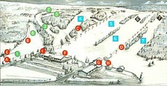
Tussey Mountain Ski Trail Map
Trail map from Tussey Mountain.
241 miles away

Gettysburg Battlefield Map
241 miles away
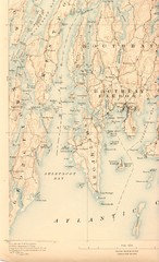
Boothbay Island Map
Topographical map of Boothbay Island and surrounding areas
242 miles away

St. John Fisher College Map
Campus map
242 miles away

Kettle Creek State Park Map
Detailed map of Kettle Creek State Park in Pennsylvania.
242 miles away
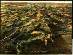
Gettysburg Battlefield in 1913 Map
Bird's eye view map of the Gettysburg Battlefield in 1913 by the Pennsylvania Railroad. From...
242 miles away
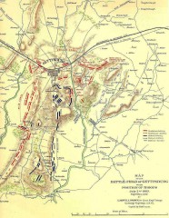
Gettysburg Battlefield map July 2, 1863
Map of the Union and Confederate positions in the Battle of Gettysburg July 2, 1863. "On July...
242 miles away
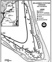
Mollidgewock State Park map
Campground map of Mollidgewock State Park in New Hampshire.
242 miles away
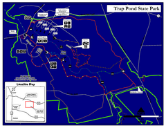
Trap Pond State Park Map
Delaware State Park map.
242 miles away

Ogdensburg, New York Historical Map
A wonderful highlight are the art reproductions of homes and buildings which surround the map...
243 miles away
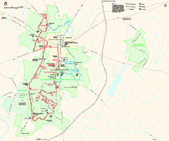
Gettysburg National Military Park Official Map
Official NPS map of Gettysburg National Military Park in Virginia. The park is open daily from 6...
243 miles away

Greenwood Furnace State Park Ma Map
Detailed map of Greenwood Furnace State Park in Pennsylvania
244 miles away
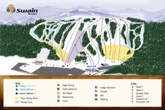
Swain Ski & Snowboard Resort Ski Trail Map
Trail map from Swain Ski & Snowboard Resort.
244 miles away
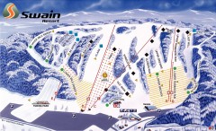
Swain Ski Trail Map
Official ski trail map of Swain Resort ski area from the 2007-2008 season.
244 miles away
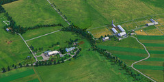
Eisenhower Farm National Historic Site Map
Visitor map of former US president Dwight D. Eisenhower's farm, a National Historic Site. 1.5...
244 miles away
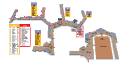
Baltimore Washington International Airport Map
245 miles away
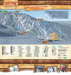
Mont Sutton Trail map
246 miles away
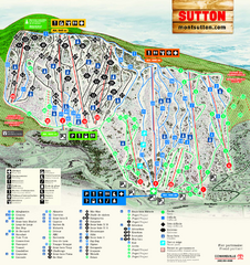
Mont Sutton Ski Trail Map
Trail map from Mont Sutton, which provides downhill skiing. This ski area has its own website.
246 miles away

