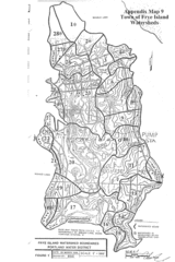
Frye Island Watershed Boundary Map
208 miles away
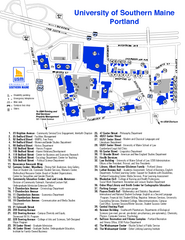
University of Southern Maine - Portland Map
209 miles away
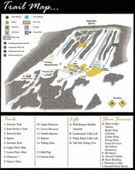
Ski Sawmill Ski Trail Map
Trail map from Ski Sawmill.
209 miles away
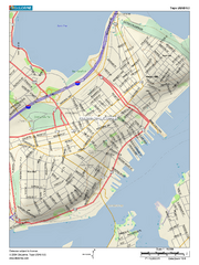
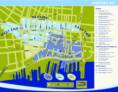
Portland, Maine City Map
209 miles away
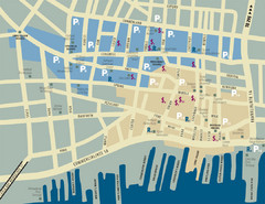
Portland, Maine Tourist Map
209 miles away

Olympic Scenic Byway Map
Overview map showing the length of the Olympic Scenic Byway, which runs from Lake Ontario (Sackett...
209 miles away
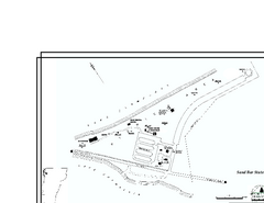
Sand Bar State Park Map
Campground map of Sand Bar State Park in Vermont
210 miles away

Dry Hill Ski Area Ski Trail Map
Trail map from Dry Hill Ski Area.
210 miles away
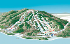
Shawnee Peak Ski Trail Map
Trail map from Shawnee Peak.
210 miles away
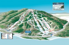
Shawnee Peak Ski Trail Map
Official ski trail map of Shawnee Peak ski area.
210 miles away
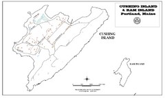
Cushing Island Map
Also shows Ram Island
211 miles away
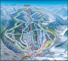
Wildcat Ski trail Map
Official ski trail map of Wildcat ski area
211 miles away
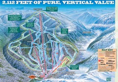
Wildcat Mountain Ski Trail Map
Trail map from Wildcat Mountain.
211 miles away
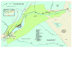
Little Pine State Park Map
Detailed recreation map for Little Pine State Park in Pennsylvania
213 miles away
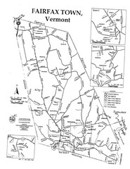
Fairfax Town Map
213 miles away
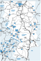
Caledonia County Map
214 miles away
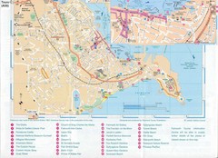
Falmouth Map
Map of Falmouth town and bay. Includes roads, parks, accommodations and attractions.
214 miles away
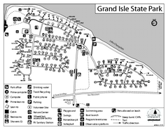
Grand Isle State Park Campground Map
Campground map for Grand Isle State Park in Vermont
214 miles away
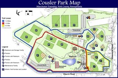
Cousler Park Map
215 miles away
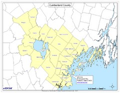
Cumberland County Map
Map showing all city divisions of Cumberland County, Maryland with specific location of the CPCOG.
216 miles away

Boyd Big Tree Preserve Conservation Area map
Detailed map of Boyd Big Tree Preserve Conservation Area in Pennsylvania.
217 miles away
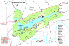
Gifford Pinchot State Park Map
Detailed map of Gifford Pinchot State Park in Pennsylvania.
217 miles away
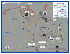
Killens Pond State Park Map
Map of Delaware State Park.
217 miles away

Leonard Harrison State Park Map
Detailed map for Leonard Harrison State Park in Pennsylvania.
217 miles away
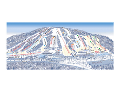
Ski Roundtop Ski Trail Map
Trail map from Ski Roundtop.
218 miles away
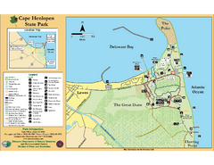
Cape Henlopen State Park Map
Beautiful park with delightful recreational activities.
218 miles away
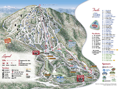
Burke Mountain Ski Trail Map
Official ski trail map of Burke Mountain ski area.
218 miles away
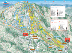
Burke Mountain Ski Trail Map
Trail map from Burke Mountain.
218 miles away
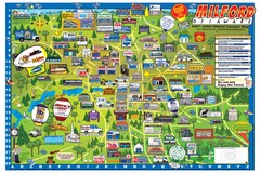
Milford Delaware Cartoon Map
218 miles away
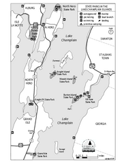
State Parks of the Champlain Islands Map
Map of the various State Parks of the Inland Sea / Lake Champlain area in Vermont
218 miles away
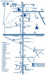
South Pennsylvania Restaurant Map
219 miles away
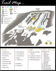
Ski Sawmill Family Resort Trail Map
Map shows trails, lifts and skier services.
220 miles away

Little Buffalo State Park map
Detailed map of Little Buffalo State Park in Pennsylvania.
220 miles away
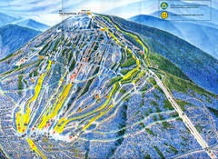
Sugarloaf Trail Map
Ski trail map of Sugarloaf mountain
220 miles away
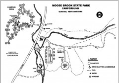
Moose Brook State Park map
Campground map of Moose Brook State Park in New Hampshire.
220 miles away
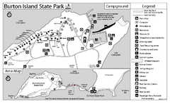
Burton Island State Park map
Campground map of Burton Island State Park in Vermont
220 miles away
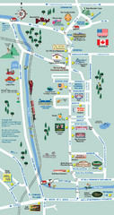
Mt. Washington Valley Restaurant Guide Map
Restaurants in Mt. Washington Valley, New Hampshire
220 miles away
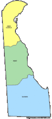
Delaware Counties Map
221 miles away
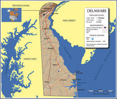
Delaware Tourist Map
221 miles away

