
1978 Bradford County, Pennsylvania Map
171 miles away
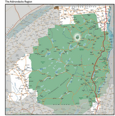
Adirondacks Lakes Map
Guide to lakes and waterways in the Adirondacks Park Preserve
171 miles away
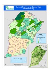
Chester County Tree Cover Map
Poster map of tree cover in Chester County, Pennsylvania
171 miles away
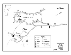
Allis State Park campground map
Campground map of Allis State Park in Vermont.
172 miles away
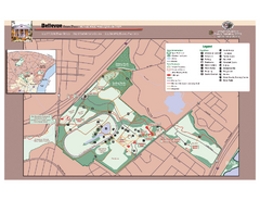
Bellevue State Park Map
Beautiful park with easy to read details.
172 miles away
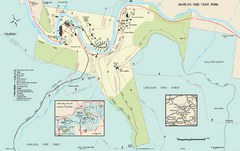
Worlds End State Park map
Detailed recreation map for Worlds End State Park in Pennsylvania
172 miles away
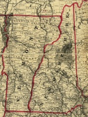
Map of New Hampshire and Vermont 1860
Map of New Hampshire and Vermont, 1860
172 miles away
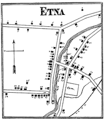
Etna 1897 City Map
Key to the Map of Etna (1897) 1. Mrs. C. Turner. 38. Blacksmith Shop. 2. J. T. Primrose. 39. Houtz...
172 miles away
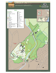
Brandywine Creek State Park Map
Easy to read map and legend of this beautiful state park.
173 miles away
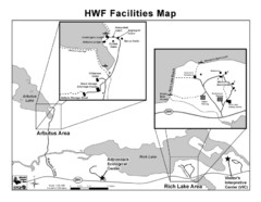
Adirondack Map
Map of Adirondack Park Reserve. Shows Rich Lake Area, Arbutus Area, and the location of the...
174 miles away
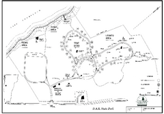
D.A.R. State Park map
Map of D.A.R. State park in Vermont
174 miles away
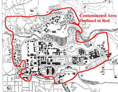
Map of Water contamination at Cornell University...
176 miles away
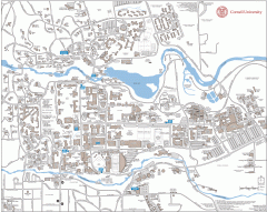
Cornell Campus Map
Map of Cornell University's Ithaca campus
176 miles away

Cornell University Map
176 miles away
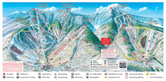
Sugarbush Resort Ski Trail Map
Trail map from Sugarbush Resort.
177 miles away

Mt. Pisgah State Park map
Detailed recreation map for Mt Pisgah State Park in Pennsylvania
177 miles away
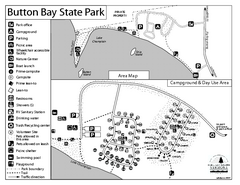
Button Bay State Park Campground Map
Campground map of Button Bay State Park in Vermont
178 miles away

Syracuse University Campus Map
Map of the Syracuse University Campus. Includes buildings, parking, streets, and location of the...
178 miles away
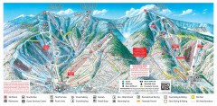
Sugarbush Resort ski trail map 2006-07
Official ski trail map of Sugarbush ski area from the 2006-2007 season.
178 miles away
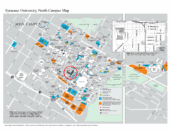
Syracuse University, North Campus Map
Campus map of Syracuse University, North Campus. Maxwell School of Executive Education is...
178 miles away
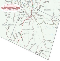
Washington, Vermont Map
179 miles away

Syracuse University Map
Syracuse University Campus Map. All buildings shown.
179 miles away
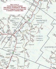
Waitsfield, Vermont City Map
181 miles away
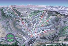
Mad River Glen Ski Area Trail Map
Official ski trail map of Mad River Glen ski area from the 2006-207 season.
181 miles away
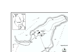
Kingsland Bay State Park Map
Campground map for Kingsland Bay State Park in Vermont
181 miles away
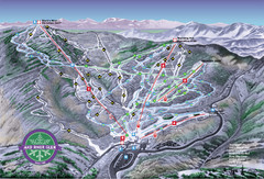
Mad River Glen Ski Trail Map
Trail map from Mad River Glen, which provides downhill skiing. It has 5 lifts servicing 45 runs...
181 miles away
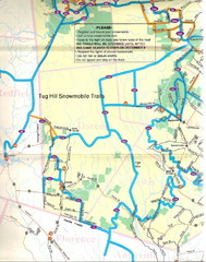
Tug Hill Trail Map
Tug Hill Area Snow Mobile Trail Map
182 miles away
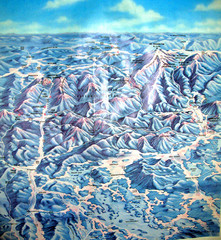
White Mountains New Hampshire Map
Old bird's eye view map of the White Mountain region of New Hampshire by Frank Thomas. Date of...
182 miles away
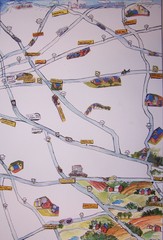
Handrawn Lancaster County Map
Guide to Amish country in Pennsylvania
183 miles away
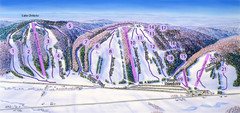
Snow Ridge Ski Trail Map
Trail map from Snow Ridge.
183 miles away

Marcellus Snowmobile Trail Map
Map of snowmobile trails throughout Marcellus area
184 miles away
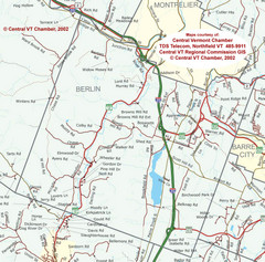
Berlin, Vermont Guide Map
184 miles away

White Clay Creek Preserve map
White Clay Creek Preserve State Park recreation and trail map
184 miles away
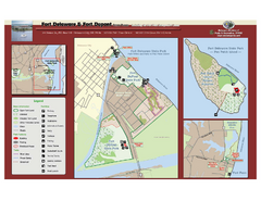
Fort Delaware State Park Map
Nice park on a beautiful island.
184 miles away
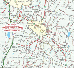
Barre, Vermont Guide Map
185 miles away
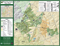
White Clay Creek State Park Map
Clear map and legend of this beautiful state park.
185 miles away
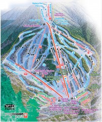
Waterville Valley Ski Trail Map
Official ski trail map of Waterville Valley ski area
186 miles away
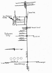
Delaware City Map
City map of Delaware City with Fort Delaware Society highlighted
186 miles away
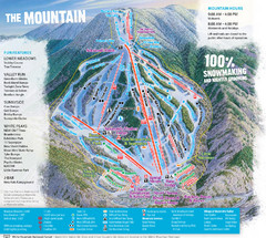
Waterville Valley Ski Trail Map
Trail map from Waterville Valley.
186 miles away
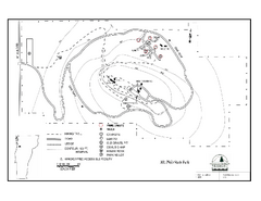
Mt. Philo State Park Campground Map
Campground map for Mt. Philo State Park in Vermont
186 miles away

