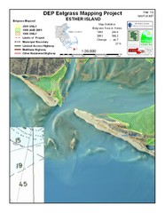
Esther Island Map
DEP Eelgrass map of Esther Island, Nantucket
158 miles away
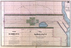
Antique map of Egg Harbor City from 1857
Antique map of Egg Harbor City, New Jersey from 1857.
159 miles away
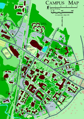
University of New Hampshire Campus Map
University of New Hampshire Campus Map
160 miles away
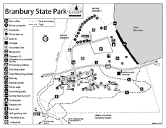
Branbury State Park map
Campground map of Branbury State Park in Vermont
160 miles away

Locust Lake State Park map
Detailed map of Locust Lake State Park in Pennsylvania
160 miles away
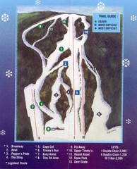
Woods Valley Ski Area Ski Trail Map
Trail map from Woods Valley Ski Area.
160 miles away
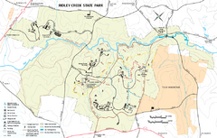
Ridley Creek State Park Map
Detailed recreation map for Ridley Creek State Park in Pennsylvania
161 miles away
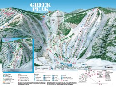
Greek Peak Ski Trail Map
Official ski trail map of Greek Peak ski area from the 2006-2007 season.
161 miles away
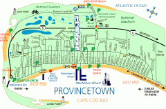
Provincetown, Massachusetts Map
Tourist map of Provincetown, Massachusetts. Shows beaches, visitor's center, bike trails, and...
161 miles away

Greek Peak Ski Resort Ski Trail Map
Trail map from Greek Peak Ski Resort.
161 miles away
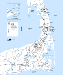
Cape Cod Rail Trail Map
Cape Cod Rail Trail map. The Cape Cod Rail Trail follows a former railroad right-of-way for 22...
162 miles away
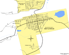
Shenandoah, Pennsylvania Map
162 miles away
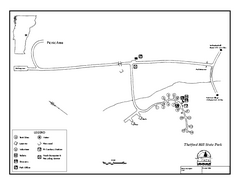
Thetford State Park Campground Map
Campground map for Thetford Hill State Park in Vermont
162 miles away
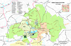
French Creek State Park map
Detailed recreation map for French Creek State Park in Pennsylvania
162 miles away
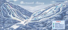
Dartmouth Skiway Trail Map
Official ski trail map of the Dartmouth Skiway. The Skiway is owned by Dartmouth College. Over...
163 miles away

Middlebury Snow Bowl Ski Trail map
Official ski trail map of Middlebury College Snow Bowl ski area.
163 miles away
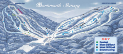
Dartmouth Skiway Ski Trail Map
Trail map from Dartmouth Skiway.
163 miles away
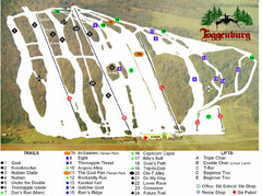
Toggenburg Ski Center Ski Trail Map
Trail map from Toggenburg Ski Center.
163 miles away
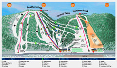
Labrador Mountain Ski Trail Map
Trail map from Labrador Mountain.
163 miles away
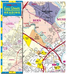
Reading, Pennsylvania City Map
164 miles away
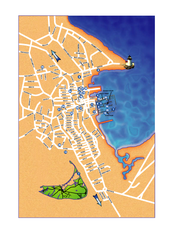
Nantucket Town Street Map
Tourist map of town of Nantucket on Nantucket Island. Shows major streets and points of interest...
165 miles away
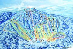
Gunstock Ski Trail Map
Ski trail map of Gunstock Mountain ski area
165 miles away
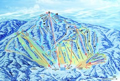
Gunstock Ski Area Ski Trail Map
Trail map from Gunstock Ski Area.
165 miles away
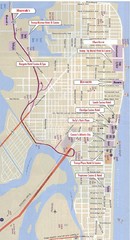
Atlantic City Tourist Map
166 miles away
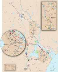
New Hampshire Transit Map
Guide to COAST and Wildcat Transit lines in New Hampshire
166 miles away

Casinos in Atlantic City, New Jersey Map
Tourist map of Atlantic City, New Jersey, showing the locations of casinos, as well as shopping and...
166 miles away
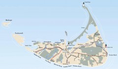
Tourist Map of Nantucket Island
Tourist map of Nantucket Island. Shows all towns and information.
166 miles away
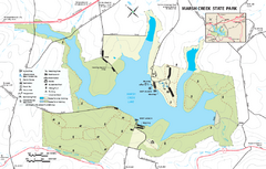
Marsh Creek State Park map
Detailed map of Marsh Creek State Park in Pennsylvania.
167 miles away
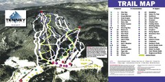
Tenney Mountain Ski Trail Map
Trail map from Tenney Mountain.
167 miles away
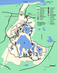
Nickerson State Park trail map
Trail map of Nickerson State Park in Massachusetts.
168 miles away
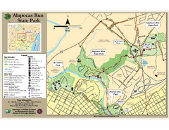
Alapocas Run State Park Map
Detailed map and clear legend for this nice state park.
168 miles away
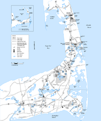
Cape Cod Rail Trail, Cape Cod, Massachusetts Map
Map of the Cape Cod Rail Trail bike path. Shows trails, restrooms, other roads and parking.
168 miles away
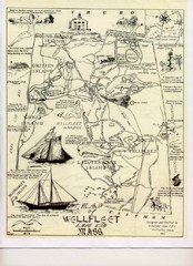
Wellfleet 1930s Tourist Map
A tourist map from the 1930s of Wellfeet, Massachusetts in Cape Cod. Courtesy of Cynthia Blakeley
168 miles away
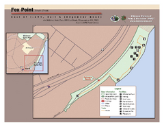
Fox Point State Park Map
Clear and simple state park map.
168 miles away
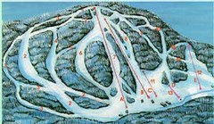
McCauley Mountain Ski Trail Map
Trail map from McCauley Mountain.
170 miles away

Song Mountain Ski Trail Map
Trail map from Song Mountain.
170 miles away

New York State Fairgrounds Map
170 miles away
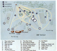
Blue Marsh Ski Area Ski Trail Map
Trail map from Blue Marsh.
170 miles away
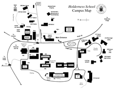
Holderness School Campus Map
A Campus Map of the Holderness School
170 miles away

