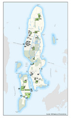
Conanicut Island Land Trust Map
Shows 430 acres of property on Conanicut Island, RI stewarded by the Conanicut Island Land Trust
97 miles away
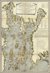
Narrangansett Bay Map 1777
"A Topographical CHART of the BAY of NARRAGANSET in the Province of NEW ENGLAND. with the...
98 miles away
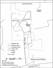
Parker Farm Trail Map
98 miles away
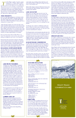
Mt. Pisgah Map - Northboro, Berlin, Boylston Mass
98 miles away
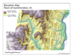
Elevation Map of Dummerston, Vermont
This Hypsometric map is a map that distinguishes elevations progression within a specific...
98 miles away
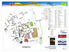
New Brunswick City Map
City map of New Brunswick, New Jersey with tourist information
98 miles away
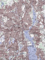
Providence Topo Map
Topo map of Providence, East Providence, Cranston, and Pawtucket, RI. Original scale 1:50,000
99 miles away
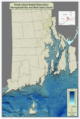
Rhode Island Shaded Bathymetry Map
Bathymetric map of Rhode Island with Narrangansett Bay and Rhode Island Sound. Graduated...
99 miles away
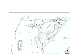
Shaftsbury State Park Map
Campground map of Shaftsbury State Park in Vermont.
99 miles away
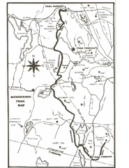
Monoosnoc Trail Map
99 miles away
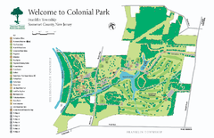
Colonial Park, Somerset, NJ Map
100 miles away
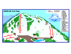
Willard Mountain Ski Area Ski Trail Map
Trail map from Willard Mountain Ski Area.
100 miles away
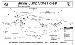
Jenny Jump State Forest map
Trail and camping map of Jenny Jump State Forest in New Jersey.
100 miles away
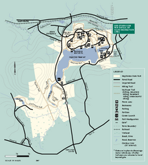
Hopkinton State Park trail map
Trail map of Hopkinton State Park in Massachusetts
100 miles away
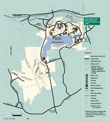
Hopkinton State Park trail map
Trail map of Hopkinton State Park in Massachusetts
100 miles away

Tanglwood Ski Area Ski Trail Map
Trail map from Tanglwood Ski Area, which provides downhill, night, and terrain park skiing. It has...
101 miles away
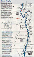
Deleware River Boat Map
101 miles away
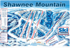
Shawnee Mountain Ski Trail Map
Trail map from Shawnee Mountain.
102 miles away
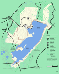
Ashland State Park Map
Clear map and legend marking trails, parking, facilities and more.
102 miles away
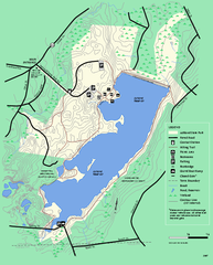
Ashland State Park Map
Map of Ashland State Park in Massachusetts.
103 miles away
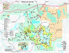
Promised Land State Park map
Detailed recreation map for Promised Land State Park in Pennsylvania
103 miles away
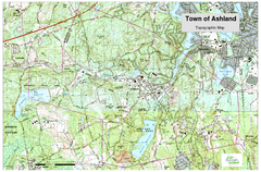
Ashland, MA - Topo Map
Map is provided by the town of Ashland, MA. See town's website for additional maps and...
103 miles away
Mt. Watatic to Wachusett Mountain, Massachusetts...
104 miles away
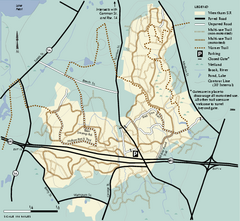
Wrentham State Forest trail map
Trail map of Wrentham State Forest in Massachusetts.
104 miles away
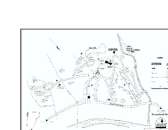
Townshend State Park Campground Map
Campground map of Townshend State Park in Vermont
105 miles away
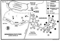
Monadnock State Park map
Campground map of Monadnock State Park in New Hampshire
105 miles away
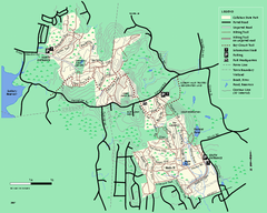
Callahan State Park trail map
Trail map of Callahan State Park in Massachusetts
105 miles away
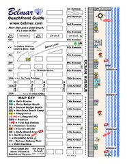
Belmar Tourist Map
Tourist map of Belmar, New Jersey beachfront. Shows beach services.
105 miles away
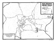
Mount Monadnock State Park Map
Official hiking map of the park. With its thousands of acres of protected highlands, 3,165-ft...
106 miles away
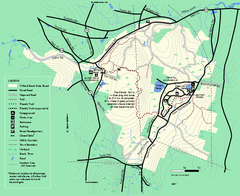
Willard Brook State Forest trail map
Trail map of Willard Brook State Forest in Massachusetts.
106 miles away
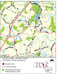
Delaney Conservation Land Map
106 miles away
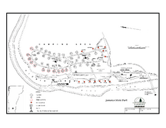
Jamaica State Park Campground Map
Campground map of Jamaica State Park in Vermont
106 miles away
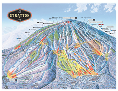
Stratton Mountain ski area trail map 2006-07
Official ski trail map of Stratton Mountain ski area from the 2006-2007 season.
106 miles away
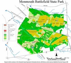
Monmouth Battlefield State Park Map
107 miles away
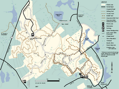
F. Gilbert Hills State Forest trail map
F. Gilbert Hills State Forest trail map in Massachusetts.
107 miles away
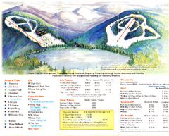
Mount Tone Ski Trail Map
Trail map from Mount Tone.
107 miles away
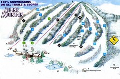
Alpine Mountain Ski Trail Map
Trail map from Alpine Mountain.
108 miles away
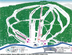
Granite Gorge Ski Trail Map
Trail map from Granite Gorge. This ski area opened in 2005.
108 miles away
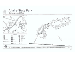
Allaire State Park campground map
Campground map for Allaire State Park in Vermont
109 miles away
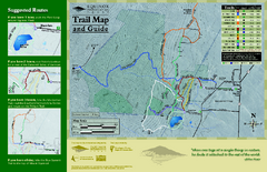
Equinox Preservation Trail map
Trail map of the Equinox Preservation Trust in Manchester, VT. The Equinox Preservation is over...
109 miles away

