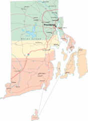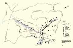
Purgatory Chasm State Reservation trail map
Trail map of Purgatory Chasm State Reservation in Massachusetts.
89 miles away
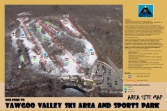
Yawgoo Valley Ski Trail map
Map of Yawgoo Valley Ski area in Exeter, Rhode Island. It is the only skiing resort in Rhode...
89 miles away
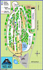
Yawgoo Valley Ski Area Ski Trail Map
Trail map from Yawgoo Valley Ski Area.
89 miles away
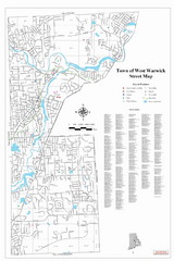
West Warwick Town Map
Street map of W. Warwick
90 miles away
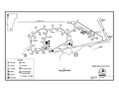
Molly Stark State Park Campground Map
Campground map for Molly State State Park in Vermont
90 miles away
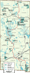
Midstate Trail Map
Map of the Midstate Trail, which runs from Ashburnham to the Rhode Island border. Shows state...
90 miles away
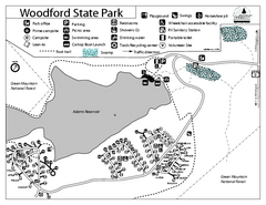
Woodford State Park Campground Map
Campground map for Woodford State Park in Vermont
91 miles away
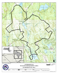
Hubbardston WMA Map
91 miles away
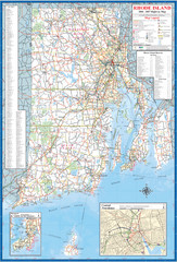
Rhode Island Road Map
Official Rhode Island state highway map. Insets show Newport and Providence.
91 miles away
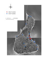
Native and Exotic Phragmites on Block Island Map
91 miles away
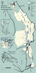
Heritage State Park Map
Clear state park map marking trails and facilities.
92 miles away
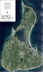
Block Island Aerial Map
Aerial map of Block Island, RI (New Shoreham, RI). True color orthophotography from August 2006.
92 miles away
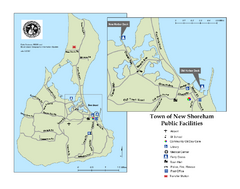
Block Island Road Map
Shows roads and major facilities on Block Island, RI (New Shoreham)
92 miles away
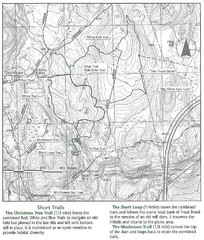
Trout Brook Conservation Area Map
92 miles away
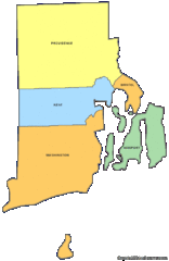
Rhode Island Counties Map
92 miles away
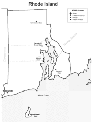
Rhode Island Airports Map
92 miles away
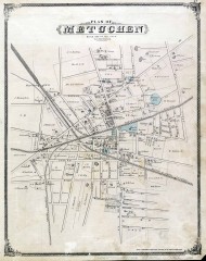
Antique map of Metuchen from 1876
Historic map of Metuchen, New Jersey from 1876
92 miles away

Ski Big Bear Ski Trail Map
Trail map from Ski Big Bear.
93 miles away
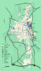
Otter River State Forest summer trail map
Summer trail map of the Otter River State Forest area in Massachusetts.
93 miles away
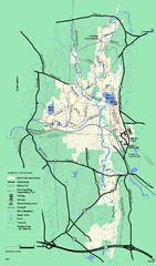
Otter River State Forest winter trail map
Winter usage trail map for Otter River State Park in Massachusetts.
93 miles away
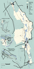
Blackstone Trail Map
Map of Blackstone River State Park in Massachusetts.
93 miles away
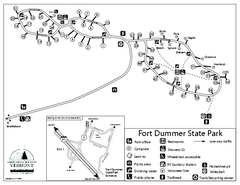
Fort Dummer State Park Campground Map
Campground map of Fort Dummer State Park in Vermont
93 miles away
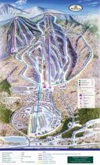
Haystack Club Ski Trail map
Official ski trail map of Haystack ski area from the 2006-2007 season.
94 miles away
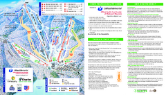
Wachusett Mountain Ski Trail Map
Trail map from Wachusett Mountain.
94 miles away
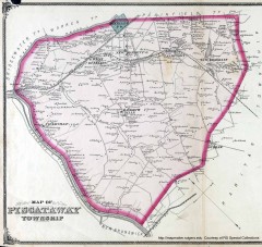
Antique map of Piscataway from 1876
Historic map of Piscataway, New Jersey from 1876.
94 miles away
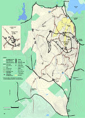
Wachusett Mountain State Reservation trail map
Trail map of Wachusett Mountain State Reservation in Massachusetts.
94 miles away
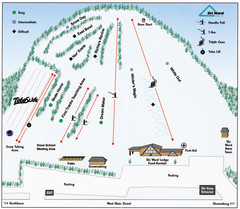
Ski Ward Ski Trail Map
Trail map from Ski Ward.
95 miles away
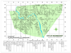
Woonsocket Street Map
Street map of Woonsocket, Rhode Island. Shows street legend.
95 miles away
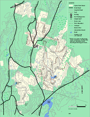
Upton State Forest trail map
Trail map for Upton State Forest in Massachusetts.
95 miles away
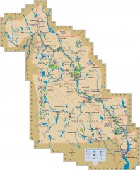
Blackstone Valley tourist map
Tourist map of the Blackston Valley in Rhode Island and Massachusetts. Shows hiking, biking, and...
96 miles away
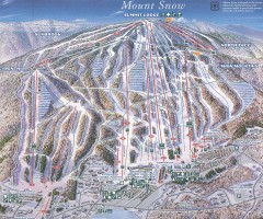
Mount Snow Trail Map 2001
Ski trail map of Mount Snow ski area, estimated 2001
96 miles away
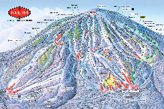
Stratton Mountain Resort Ski Trail Map
Trail map from Stratton Mountain Resort.
97 miles away
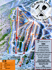
Mount Snow Carinthia Terrain Park Ski Trail Map
Trail map from Mount Snow.
97 miles away
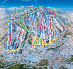
Mount Snow Ski Trail Map - main face
Trail map of main face of Mt Snow ski area near Wilmington, Vermont
97 miles away
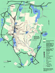
Leominster State Forest trail map
Trail map of Leominster State Forest in Massachusetts
97 miles away
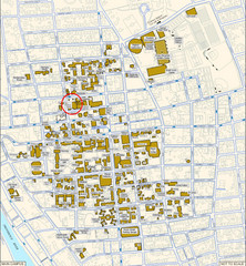
Providence, Rhode Island City Map
97 miles away
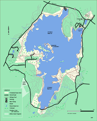
Whitehall State Park trail map
Trail map of Whitehall State Park in Massachusetts.
97 miles away
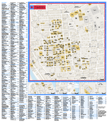
Brown University Campus Map
Official campus map of Brown University.
97 miles away
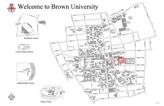
Brown University Map
97 miles away

