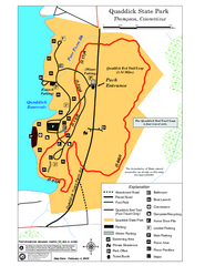
Quaddick State Park Trail Map
79 miles away
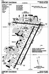
Newark Liberty International Airport Map
79 miles away
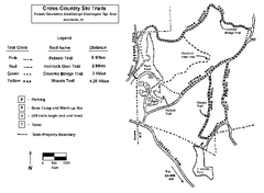
Pulaski State Park Map
79 miles away
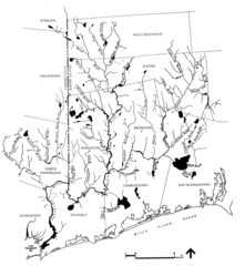
Rhode Island Coastal Watershed Map
Paddling Guide of Pawcatuck River Watershed
79 miles away
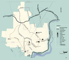
Monroe State Forest trail map
Trail map of Monroe State Forest in Massachusetts.
80 miles away
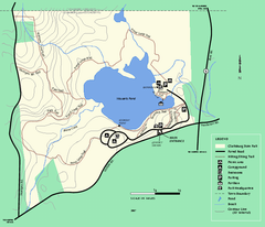
Clarksburg State Park trail map
Trail map of Clarksburg State Park in Massachusetts.
80 miles away
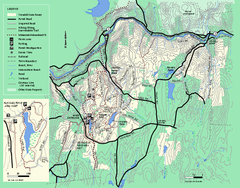
Wendell State Forest trail map
Trail map of Wendell State Forest in Massachusetts.
80 miles away

Mine Brook Wildlife Management Area Map
80 miles away
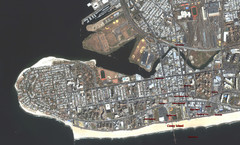
Coney Island Map
Aerial photo Coney Island map
80 miles away
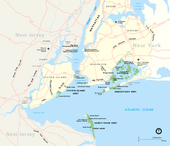
Gateway National Recreation Area Map
Park map of lands in the NPS Gateway National Recreation Area in New York and New Jersey. Shows...
80 miles away
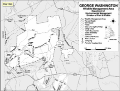
George Washington Wildlife Management Area Map
81 miles away
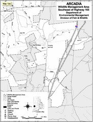
Arcadia Wildlife Management Area Map - Southeast
Reference map shows portion of Arcadia Wildlife Management Area, Rhode Island southeast of Highway...
81 miles away
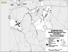
Durfee Hill Wildlife Management Area Map
81 miles away
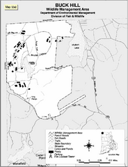
Buck Hill Wildlife Management Area Map
81 miles away
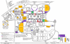
New York State University Uptown Campus Map
Map of the NYS University Campus, including all buildings, streets, and Visitors Parking...
81 miles away
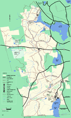
Douglas State Forest trail map
Trail map of the Douglas State Forest in Massachusetts
82 miles away

Staten Island Subway/Railway Map
83 miles away
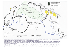
Sprague Farm - Glocester Land Trust Map
83 miles away
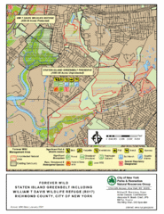
Staten Island Greenbelt Map
83 miles away
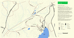
Douglas State Park Detail Map
83 miles away
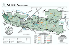
Stokes State Forest map
Trail map of Stokes State Park in New Jersey.
83 miles away
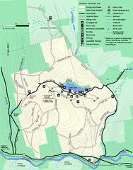
Erving Summer trail map
Summer use map of Erving State Park in Massachusetts.
84 miles away
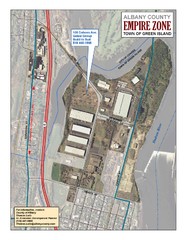
Green Island Map
Aerial town map of Green Island, New York on the Hudson River
84 miles away
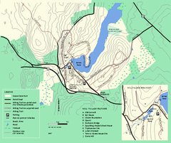
Moore State Park trail map
Trail map of Moore State Park in Massachusetts.
84 miles away
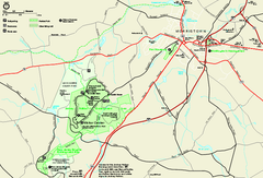
Morristown National Historical Park Official Map
Official NPS map of Morristown National Historical Park in New Jersey. Shows all areas. Tours...
84 miles away
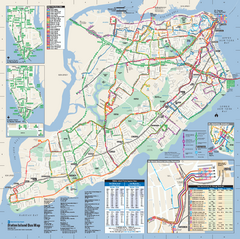
Staten Island Bus Map
Official Bus Map of Staten Island. Shows all routes.
84 miles away
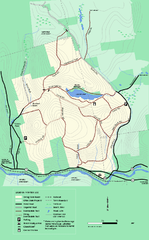
Erving State Park winter use map
Winter use map of the Erving State Park in Massachusetts
84 miles away

Downtown Morriston Map
84 miles away
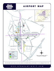
Albany International Airport Map
Official Map of the Albany International Airport in New York. Shows all terminals.
85 miles away
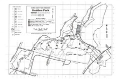
Hedden Park Map
Hedden County Park Trail Map
85 miles away
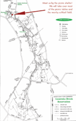
Loantaka Park Map
85 miles away
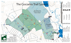
Cascades Park Map
86 miles away
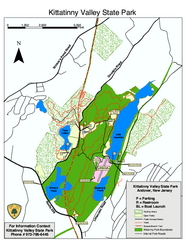
Kittatinny Valley State Park trail map
Trail map of Kittatinny Valley State Park in New Jersey. Shows hunting areas and trails.
86 miles away
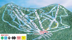
Plattekill Ski Trail Map
Official ski trail map of Plattekill ski area from the 2007-2008 season.
87 miles away
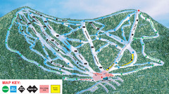
Ski Plattekill Ski Trail Map
Trail map from Ski Plattekill.
87 miles away

Lewis Morris Park Trail Map
87 miles away
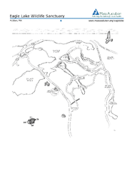
Eagle Lake Conservation Area Map
88 miles away
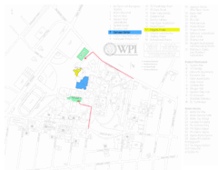
Worcester Polytechnic Institute Campus Map
Map of Worcester Polytechnic Institute. Includes all buildings, parking, streets, and location of...
88 miles away
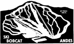
Bobcat Ski Center Ski Trail Map
Trail map from Bobcat Ski Center.
88 miles away
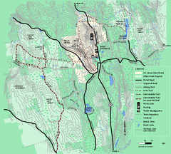
Mt. Grace State Forest trail map
Trail map of Mt. Grace State Forest near Warwick, Massachusetts.
88 miles away

