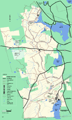
Douglas State Forest trail map
Trail map of the Douglas State Forest in Massachusetts
61 miles away
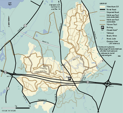
Wrentham State Forest trail map
Trail map of Wrentham State Forest in Massachusetts.
61 miles away
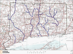
Connecticut Rivers and Coastal Paddling Map
This is a map of paddling areas for rivers and coastal kayaking. Follow the link below for...
62 miles away
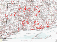
Connecticut Road Cycling Routes Map
A map of road cycling routes throughout Connecticut. Follow the link below for detailed route maps...
62 miles away
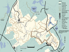
F. Gilbert Hills State Forest trail map
F. Gilbert Hills State Forest trail map in Massachusetts.
62 miles away
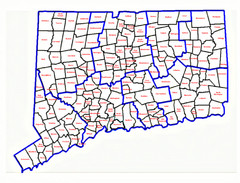
Connecticut Town Map
62 miles away

Mine Brook Wildlife Management Area Map
62 miles away
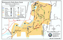
Wadsworth Falls State Park map
Trail map of Wadsworth Falls State Park in Connecticut.
62 miles away
Appalachian National Scenic Trail Map
Scenic trail Maine to Georgia
62 miles away
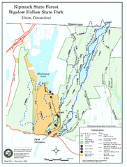
Nipmuck State Forest trail map
Trail map of Nipmuck State Forest and Bigelow Hollow State Park in Connecticut.
63 miles away
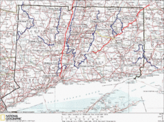
Connecticut Long Distance Trails Map
A map of long distance trails throughout Connecticut. Go to the website below for detailed trail...
63 miles away
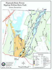
Bigelow Hollow State Park trail map
Trail map of Bigelow Hollow State Park in Connecticut.
64 miles away
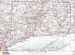
Connecticut Rock Climbing Locations Map
A map of most of the important rock climbing and bouldering areas in Connecticut. Click the link...
64 miles away
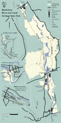
Heritage State Park Map
Clear state park map marking trails and facilities.
64 miles away
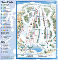
Powder Ridge Ski Area Ski Trail Map
Trail map from Powder Ridge Ski Area.
64 miles away
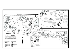
Dinosaur State Park map
Trail map of Dinosaur State Park in Connecticut.
65 miles away
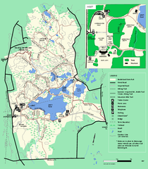
Borderland State Park trail map
Trail map of Borderland State Park in Massachusetts
65 miles away
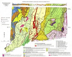
Connecticut Geologic Map
Geologic map of Connecticut bedrock. Shows shaded terranes, fault lines, and Mesozoic formations.
65 miles away
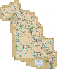
Blackstone Valley tourist map
Tourist map of the Blackston Valley in Rhode Island and Massachusetts. Shows hiking, biking, and...
65 miles away
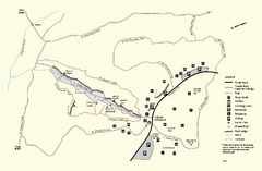
Purgatory Chasm State Reservation trail map
Trail map of Purgatory Chasm State Reservation in Massachusetts.
65 miles away
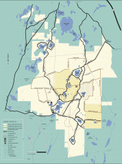
Myles Standish State Forest winter trail map
Winter activity map of all the trails and roads in Myles Standish State Park, MA. Cross country...
66 miles away
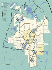
Myles Standish State Forest summer trail map
Map of all the trails and roads in Myles Standish State Park, MA. 15 miles of bicycle trails, 35...
66 miles away
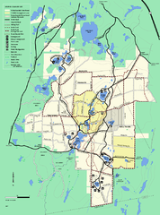
Myles Standish State Forest trail map
Summer trail map for Myles Standish State Forest.
66 miles away
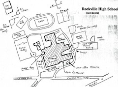
Rockville High School Map
Hand-drawn map of Rockville High School includes all buildings, Parking Lots, and sports fields.
66 miles away
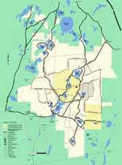
Myles Standish State Forest Winter trail map
Myles Standish State Forest winter use trail map.
66 miles away
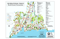
South Central Connecticut Recreational Trail Map
Map of South Central Connecticut showing all recreational trails and open spaces.
69 miles away

Wadsworth Athenium Museum Location Map
Wadsworth Athenium visitor location map with locations of major buildings, streets, parks, and...
69 miles away
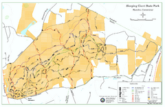
Sleeping Giant State Park map
Trail map for Sleeping Giant State Park in Connecticut.
70 miles away
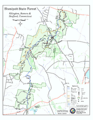
Trail map of Shenipsit State Forest
Trail map of Shenipsit State Forest in Connecticut.
70 miles away
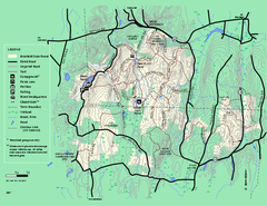
Brimfield State Forest trail map
Trail map of Brimfield State Forest in Massachusetts
70 miles away
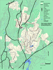
Upton State Forest trail map
Trail map for Upton State Forest in Massachusetts.
70 miles away
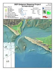
Esther Island Map
DEP Eelgrass map of Esther Island, Nantucket
70 miles away
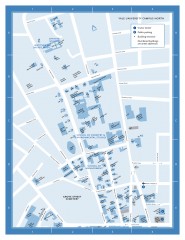
Yale University Campus North Map
Yale University Campus Map - North Campus, including School of Forestry & Environmental Studies...
70 miles away

Yale University Map
71 miles away
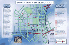
Downtown New Haven Parking Map
Shows locations of all town parking lots and also points of interest
71 miles away
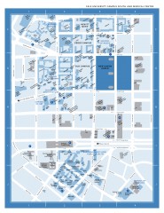
Yale University Campus South and Medical Center...
Yale University Campus South and Medical Center, including the Hewitt Quad, Cross Campus, Old Campus
71 miles away
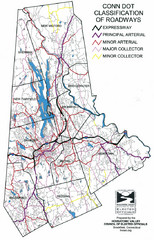
Connecticut Roadway Classification Map
71 miles away
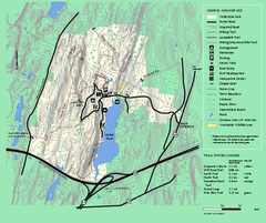
Wells State Park trail map
Trail map of Wells State Park in Massachusetts.
71 miles away
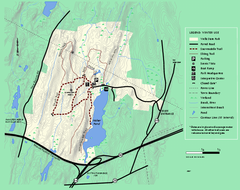
Wells State Park winter trail map
Winter use trail map of Wells State Park in Massachusetts.
71 miles away
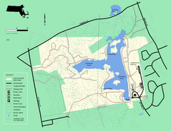
Ames Nowell State Park Map
Simple map of this beautiful state park. Visit and hike, bike, and shop!
71 miles away

