
Atsion Campground Map
Campground map for Atsion Campsites in Wharton State Forest in NJ
49 miles away
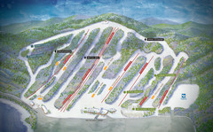
Big Boulder Ski Area Ski Trail Map
Trail map from Big Boulder Ski Area.
50 miles away
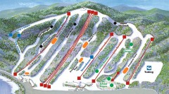
Big Boulder SKi Trail Map
Official ski trail map of Big Boulder ski area from the 2006-2007 season.
50 miles away
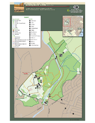
Brandywine Creek State Park Map
Easy to read map and legend of this beautiful state park.
50 miles away
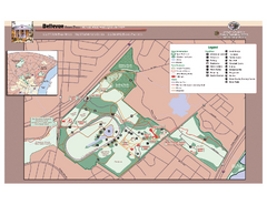
Bellevue State Park Map
Beautiful park with easy to read details.
50 miles away
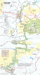
Lehigh Gorge State Park Map
Detailed recreation map for Lehigh Gorge State Park in Pennsylvania
50 miles away
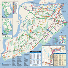
Staten Island Bus Map
Official Bus Map of Staten Island. Shows all routes.
51 miles away

Staten Island Subway/Railway Map
51 miles away

Hickory Run State Park Map
Detailed map of Hickory Run State Park in Pennsylvania.
51 miles away

Goshen Pond camp area map
Camp area map for Goshen Pond in Wharton State Forest in New Jersey.
52 miles away
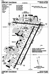
Newark Liberty International Airport Map
52 miles away
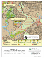
Staten Island Greenbelt Map
52 miles away
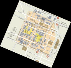
Rutgers University Map
53 miles away
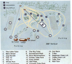
Blue Marsh Ski Area Ski Trail Map
Trail map from Blue Marsh.
53 miles away
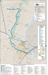
Newark Light Rail system Map
Newark Light rail system
54 miles away
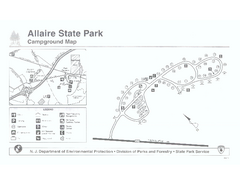
Allaire State Park campground map
Campground map for Allaire State Park in Vermont
54 miles away
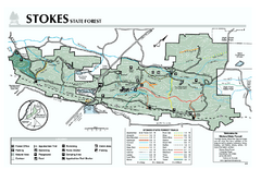
Stokes State Forest map
Trail map of Stokes State Park in New Jersey.
54 miles away
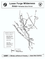
Lower Forge camp area map
Camp area map for the Lower Forge area in Wharton State Forest in New Jersey
54 miles away

Tuscarora State Park Map
Detailed recreation map for Tuscarora State Park in Pennsylvania
54 miles away
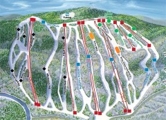
Jack Frost Ski Trail Map
Official ski trail map of Jack Frost ski area from the 2006-2007 season.
55 miles away
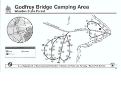
Godfrey Bridge Campground Map
Map of Godfrey Bridge Campground in Wharton State Forest, New Jersey.
56 miles away
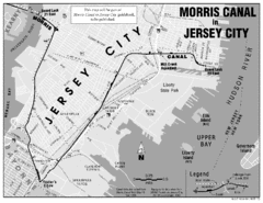
Jersey City Map
57 miles away
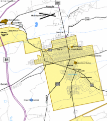
Hazelton Street Map
Clear and descriptive road map.
58 miles away
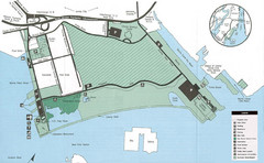
Liberty State Park Map
Map of Liberty State Park, New Jersey on the New York Harbor and next to Ellis Island. Shows...
58 miles away
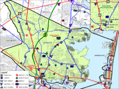
Tom's River, New Jersey City Map
58 miles away
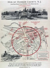
Antique map of Jersey City from 1925
Antique map of Jersey City, New Jersey from 1925.
58 miles away
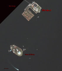
Ellis Island and Statue of Liberty Map
Aerial map of Ellis Island and the Statue of Liberty
58 miles away
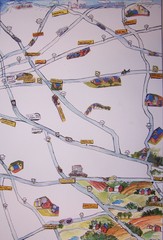
Handrawn Lancaster County Map
Guide to Amish country in Pennsylvania
59 miles away
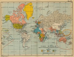
Colonial Posessions and Commercial Highways 1910...
Historical world map (1910) of various colonization and highway expansion
59 miles away
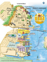
Jersey City, New Jersey City Map
Sketch of Jersey City and Hoboken, New Jersey
59 miles away
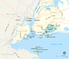
Gateway National Recreation Area Map
Park map of lands in the NPS Gateway National Recreation Area in New York and New Jersey. Shows...
59 miles away
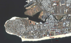
Coney Island Map
Aerial photo Coney Island map
59 miles away
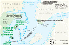
Statue of Liberty National Monument Map
Official NPS map of Statue of Liberty National Monument. Shows Statue of Liberty, Ellis Island, and...
59 miles away

Locust Lake State Park map
Detailed map of Locust Lake State Park in Pennsylvania
59 miles away
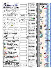
Belmar Tourist Map
Tourist map of Belmar, New Jersey beachfront. Shows beach services.
60 miles away
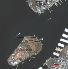
Governor's Island Map
Aerial photo view map of Governor's Island, New York
60 miles away
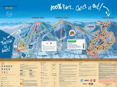
Mountain Creek Ski Trail Map
Official ski trail map of Mountain Creek ski area from the 2007-2008 season. (formerly Vernon...
60 miles away
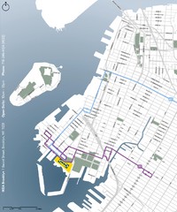
IKEA Brooklyn Map
Location map and map of bus routes and access streets to IKEA in Brooklyn, NY.
60 miles away
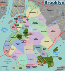
Brooklyn, Neighborhoods Map
60 miles away

White Clay Creek Preserve map
White Clay Creek Preserve State Park recreation and trail map
60 miles away

