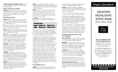
Grayson Highlands State Park Map
Clear and descriptive map of this beautiful state park.
203 miles away

Mad River Mountain Trail Map
Ski trail map
204 miles away
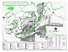
Hanging Rock state park Map
Interior color map of Hanging Rock State Park.
204 miles away
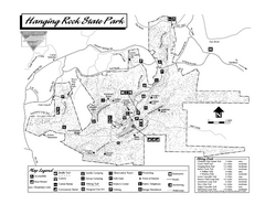
Hanging Rock State Park map
Detailed recreation map for Hanging Rock State Park in North Carolina
204 miles away
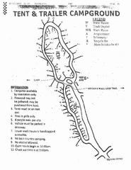
Hanging Rock, campground site map
Hanging Rock State park, map of family campground sites
204 miles away
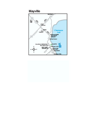
Downtown Mayville Map
Tourist map of Downtown Mayville, New York. Shows museums, restaurants, shops, government buildings...
204 miles away

Susquehannock State Park map
Detailed recreation map for Susquehannock State Park in Pennsylvania
204 miles away

Sandy Point State Forest Hunting Map
Virginia Department of Forestry Hunting Areas
205 miles away
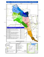
Ohio EPA Subwatersheds Boundaries in Darby...
Map shows watersheds by colors for West Central Ohio
205 miles away
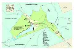
Lyman Run State Park Map
Detailed recreation map for Lyman Run State Park in Pennsylvania
205 miles away
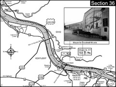
Ohio River at Maysville, Kentucky Map
This is a page from the Ohio River Guidebook. The map shows important information for boaters and...
205 miles away
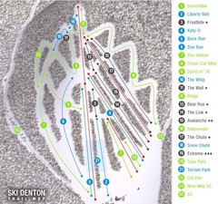
Ski Denton Ski Trail Map
Trail map from Ski Denton.
206 miles away
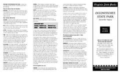
Occoneechee State Park Map
This map clearly marks rest stops, trails, campgrounds and more.
206 miles away

Milton State Park map
Detailed recreation map of Milton State Park in Pennsylvania
206 miles away
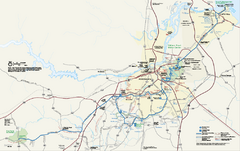
Petersburg National Battlefield Official Map
Official NPS map of Petersburg National Battlefield in Virginia. Petersburg National Battlefield is...
206 miles away
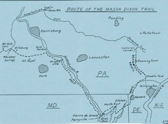
Mason Dixon Trail Map
Hand drawn map of the Mason-Dixon Trail. The 193 mile long Mason-Dixon Trail starts on the...
206 miles away
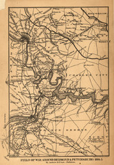
Petersburg, Virginia 1864 Map
207 miles away
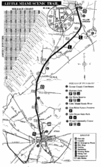
Little Miami Scenic Trail Map
Map of the Little Miami Scenic Trail biking route from Xenia, Ohio to Yellow Springs, Ohio. Shows...
208 miles away
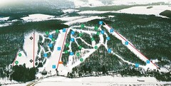
Cockaigne Ski Resort Ski Trail Map
Trail map from Cockaigne Ski Resort.
208 miles away
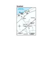
Westfield Map
Tourist map of Westfield, New York, and surrounding area. Shows shops, museums, boat ramps and...
209 miles away
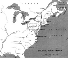
Colonial North America - 1689-1783 Historical Map
209 miles away
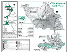
Pilot Mountain State Park map
Detailed recreation map for Pilot Mountain State Park in North Carolina
210 miles away
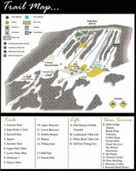
Ski Sawmill Ski Trail Map
Trail map from Ski Sawmill.
210 miles away
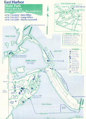
East Harbor State Park Map
210 miles away
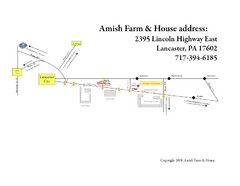
Amish Farm and House Route Map
Map showing directions to the Amish Farm and House with locations of key buildings and streets in...
211 miles away
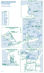
Lake Erie Islands State Park map
Detailed recreation map for the Lake Erie Islands State Parks in Ohio
211 miles away
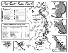
New River State Park map
Detailed recreation map for the New River State Park in North Carolina
212 miles away
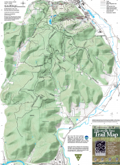
Ellicottville Area Trail Map
Shows mountain biking trails in the Holiday/Holimont/McCarty Hill/Rock City area south of...
212 miles away

Pat Mcgee Trail Map
213 miles away
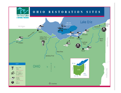
Lake Erie Restoration Sites Map
Shows restoration sites for Lake Erie in Ohio
213 miles away

Leonard Harrison State Park Map
Detailed map for Leonard Harrison State Park in Pennsylvania.
214 miles away

Holiday Valley and Holimont Ski Area Map
WNYMBA - Mountain bike trail guide to ski area
214 miles away
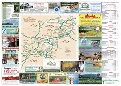
Ashe County Attractions Map
Ashe County Attractions
215 miles away
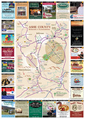
Ashe County Restaurant Map
Ashe County Restaurant Map
215 miles away
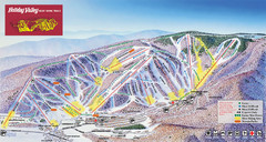
Holiday Valley Resort Ski Trail Map
Trail map from Holiday Valley Resort.
215 miles away
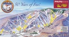
Holiday Valley Ski Trail Map
Official ski trail map of Holiday Valley ski area from the 2007-2008 season.
215 miles away
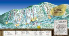
Holimont Ski Trail Map
Official ski trail map of Holimont ski area from the 2006-2007 season.
215 miles away
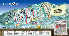
HoliMont Ski Trail Map
Trail map from HoliMont.
216 miles away
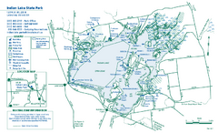
Indian Lake State Park map
Detailed recreation map for Indian Lake State Park in Ohio
217 miles away

