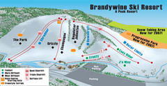
Boston Mills / Brandywine Ski Resort Brandywine...
Trail map from Boston Mills / Brandywine Ski Resort.
155 miles away
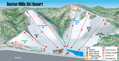
Boston Mills / Brandywine Ski Resort Boston Mills...
Trail map from Boston Mills / Brandywine Ski Resort.
155 miles away

Gettysburg Battlefield Map
155 miles away
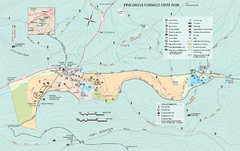
Pine Grove Furnace State Park map
Detailed recreation map for Pine Grove Furnace State Park in Pennsylvania
155 miles away
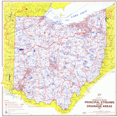
Ohio Watersheds Map
Principal Streams and their Drainage Areas. Based on map by C. E. Sherman, July 1925
155 miles away

Colonel Denning State Park map
Detailed map of Colonel Dening State Park in Pennsylvania
156 miles away
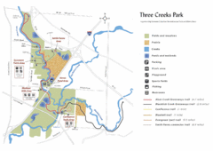
Three Creeks Park Map
156 miles away
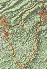
Twelve O'Clock Knob Loop Map
This is a pretty significant ride in Virginia. The main feature is two devastating back-to-back...
156 miles away
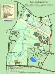
Cabin John Regional Park Map
157 miles away
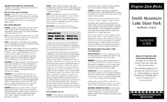
Smith Mountain Lake State Park Map
Hiking, horse back, fishing and more are all available at this amazing state park.
157 miles away
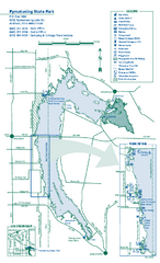
Pymatuning State Park Map
Detailed recreation map for Pymatuning State Park in Ohio
158 miles away
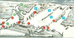
Tussey Mountain Ski Trail Map
Trail map from Tussey Mountain.
158 miles away

Penn-Roosevelt State Park map
Recreation map for Penn Roosevelt State Park in Pennsylvania
158 miles away
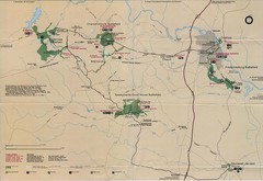
Fredricksburg National Parks Map
National parks in Fredricksburg.
158 miles away
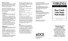
Bear Creek Lake State Park Map
Come visit this beautiful state park and see the amazing wild life.
158 miles away
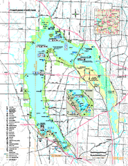
Pymatuning State Park Map
Recreation map for Pymatuning State Park in Pennsylvania
159 miles away
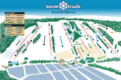
Snow Ski Trail Map
Trail map from Snow Trails.
159 miles away
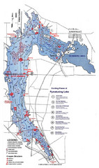
Pymatuning Lake State Park Fishing Map
Pymatuning Lake State Park fishing map
159 miles away
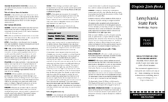
Leesylvania State Park Map
Clear map of this small state park.
159 miles away

Allegheny College Map
Campus Map
160 miles away
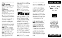
Claytor Lake State Park Map
Map of this beautiful state park.
161 miles away
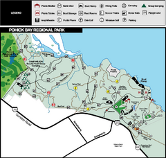
Pohick Bay Regional Park Map
Park map of Pohick Bay Regional Park near Lorton, VA on the Potomac River. Shows trails and...
162 miles away
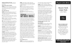
Mason Neck State Park Map
Descriptive map detailing trails, rest stops, and more.
162 miles away
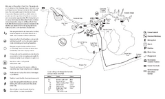
Mason Neck State Park Map
Trail map of Mason Neck State Park near Lornton, Virginia. Shows approx. 3 miles of hiking trails...
162 miles away

Columbus, Ohio City Map
162 miles away
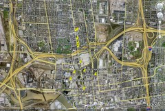
Restaurants in Columbus, Ohio Map
Local and chain restaurants in Columbus, Ohio
162 miles away

Columbus Bike Map
Bike trails in Columbus.
162 miles away
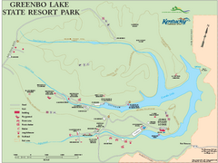
Greenbo Lake State Resort Park map
Detailed recreation map for Greenbo Lake State resort park in Kentucky
163 miles away

The Ohio State University Map
164 miles away
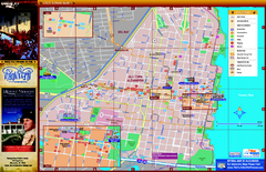
Alexandria City Tourist Map
Tourist street map of city
164 miles away
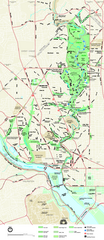
Rock Creek Park map
Map of Rock Creek Park and its immediate surroundings in Washington, DC
164 miles away
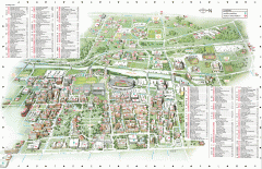
Ohio State University - main campus map
Map of main Columbus, Ohio campus of Ohio State University. 51,818 total students enrolled in 2006...
165 miles away
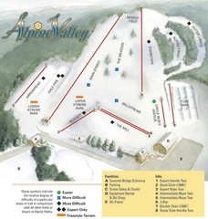
Alpine Valley Ski Area Ski Trail Map
Trail map from Alpine Valley Ski Area.
165 miles away
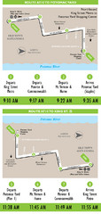
DC Metro Route Between King Street and Potomac...
165 miles away
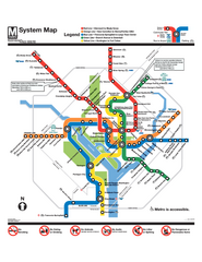
Official Washington DC Metro map
Official color PDF map from the Washington Metropolitan Area Transit Authority. The WMATA operates...
165 miles away
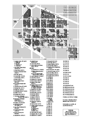
The George Washington University Map
Campus Map of The George Washington University in Washington, D.C. All areas shown.
166 miles away
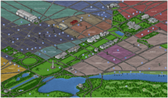
Washington DC Tourist Map
Tourist map of Washington, DC. Bird's-eye view of landmark buildings.
166 miles away
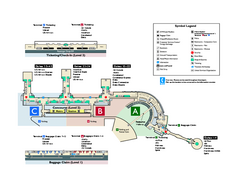
Ronald Reagan Washington National Airport Map
Official Terminal Map of Ronald Reagan Washington National Airport. Shows all areas.
166 miles away

