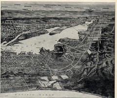
1936 San Francisco Bay Area Map Part 2
Guide to the San Francisco Bay Area, hand drawn over photograph
17 miles away
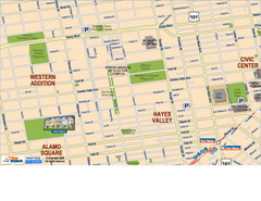
Downtown San Francisco: Hayes Valley, Western...
Tourist map of Hayes Valley, Western Addition, and Civic Center area of downtown San Francisco...
17 miles away
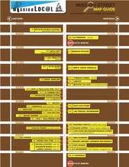
San Francisco Mission Restaurant Map
17 miles away
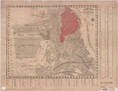
1907 San Francisco Earthquake Map
Map of areas destroyed by fire after 1906 earthquake
17 miles away
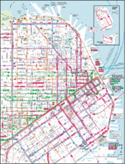
San Francisco Map
Highly detailed map of San Francisco roads and transportation.
17 miles away
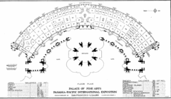
San Francisco Palace of the Fine Arts Map
17 miles away
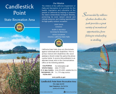
Candlestick Point Recreation Area Map
Map of park with detail of trails and recreation zones
18 miles away
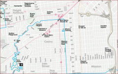
Castro, Mission, Haight-Ashbury, Noe Valley map
Tourist map of Castro, Mission, Haight-Ashbury, Noe Valley, and Twin Peaks in San Francisco
18 miles away
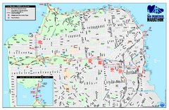
San Francisco 2009 Marathon Map
Guide to the 2009 San Francisco Marathon and Half Marathon
18 miles away
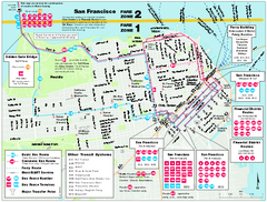
San Francisco Bus and Ferry Map
18 miles away
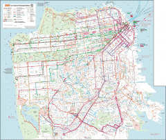
San Francisco Muni system map
Transit Muni system map shows all bus, subway metro, cable car, and streetcar routes.
18 miles away
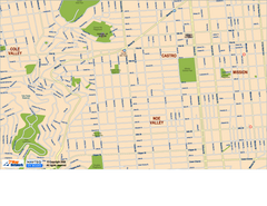
Downtown San Francisco: Castro and Noe Valley Map
Tourist map of the Castro and Noe Valley area in downtown San Francisco, California. Shows Twin...
18 miles away

Bay to Breakers race course Map
Bay to Breakers course. Held annually on the third Sunday in May. "ING Bay to Breakers...
18 miles away
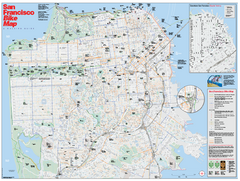
San Francisco Bike Map
Map showing bike paths, bike lanes, bike shops, public transportation, and grades of hills in San...
18 miles away
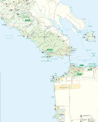
Golden Gate National Recreation Area Detail Map
18 miles away
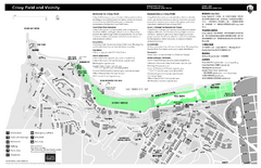
Crissy Field Map
Official NPS map of Crissy Field and vicinity in the Presidio of San Francisco, CA
18 miles away
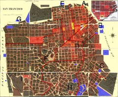
San Francisco Crime Map
A visual representation of crime in San Francisco. This high-level city map of San Francisco shows...
18 miles away
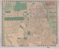
1905 San Francisco Street Map
Pre earthquake map of San Francisco, with several types of street cars and turnaround locations
18 miles away
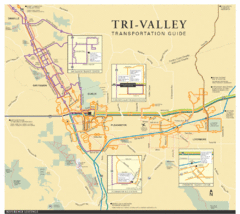
Tri Valley Transportation and Road Map
The Tri Valley cities roads and routes.
18 miles away
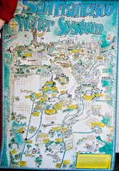
San Francisco Water System Cartoon Map
Cartoon map of the San Francisco Water System. From photo of poster from San Francisco Public...
18 miles away
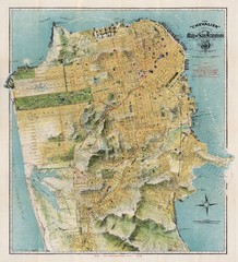
Chevalier map of San Francisco (1912)
Breathtaking map of San Francisco in 1912 by August Chevalier from the BIG Map Blog by way of DRMC.
18 miles away
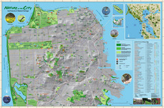
San Francisco Natural Heritage Map
Shows San Francisco's natural habitats and biodiversity is filled with fun facts, restoration...
18 miles away
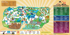
Six Flags Discovery Kingdom Park Map
Six Flags Discovery Kingdom theme park (formerly Marine World) in Vallejo, California. Experience...
18 miles away
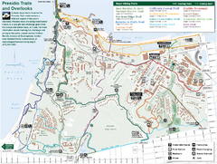
Presidio Trail and Overlook Map
Trail map of the Presidio in San Francisco. Shows 12 major trails (both existing and proposed) and...
19 miles away
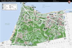
Presidio of San Francisco detail map
Detail map of the Presidio of San Francisco from NPS. Shows hiking/walking trails and POIs such as...
19 miles away
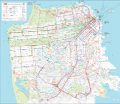
San Francisco Public Transportation map
Transit Muni system map shows all bus, subway metro, cable car, and streetcar routes.
19 miles away
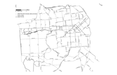
San Francisco Bike Map
Streets in San Francisco
19 miles away
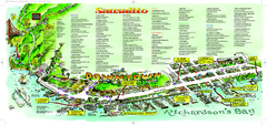
Sausalito Tourist Map
Visitor map of Sausalito, California. Shows restaurants, shopping, and other points of interest
19 miles away
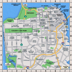
San Francisco Neighborhoods Map
19 miles away
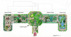
Conservatory of Flowers Museum Map
Map of the Conservatory of Flowers in Golden Gate Park, San Francisco, California
19 miles away
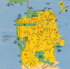
San Francisco City Map
City map of San Francisco with Lowell High School highlighted
19 miles away
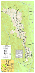
Pleasanton Ridge Regional Park Map
19 miles away
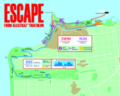
Escape From Alcatraz Triathlon Course Map 2009
Official course map of the 2009 Escape From Alcatraz Triathlon in San Francisco
19 miles away
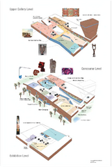
de Young Museum Map
Floorplan of the de Young Museum of Art in Golden Gate Park, San Francisco, California
19 miles away
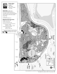
San Francisco Botanical Garden Map
Overview map of the San Francisco Botanical Garden in Golden Gate Park, San Francisco
19 miles away
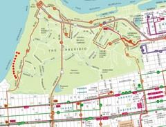
Baker Beach, San Francisco Tourist Map
20 miles away
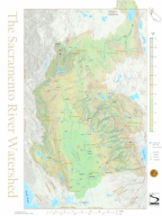
Sacramento River Watershed Map
The map shows, rivers, cities, counties, and roads surrounding the Sacramento River.
20 miles away
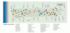
Golden Gate Park tour map
Map of Golden Gate Park in San Francisco in California. Shows all points of interest, picnic areas...
20 miles away
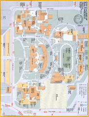
City College of San Francisco - Ocean Campus Map
City College of San Francisco - Ocean Campus Map. All buildings shown.
20 miles away
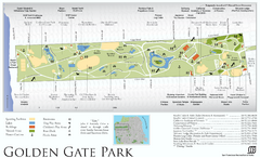
Golden Gate Park Map
Overview map of Golden Gate Park in San Francisco, CA
20 miles away

