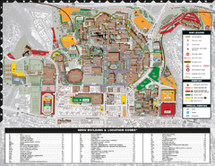
San Diego State University Map
119 miles away
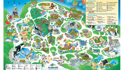
SeaWorld San Diego Theme Park Map
SeaWorld's San Diego Theme Park map. Take a look at all of SeaWorld's awesome exhibits...
119 miles away

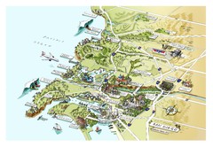
Urban Neighborhood Map: San Diego Map
This Urban Neighborhood Poster of San Diego is a modern twist on traditional maps. The typography...
119 miles away

San Diego Map
119 miles away
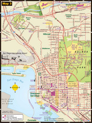
Central San Diego Tourist Map
119 miles away
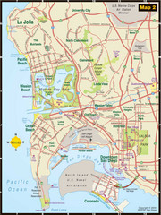
Central San Diego Tourist Map
119 miles away
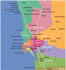
San Diego County Tourist Map
119 miles away
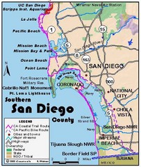
San Diego Beach Map
119 miles away
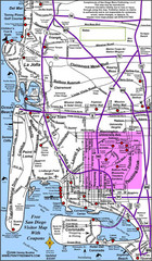
San Diego City Map
119 miles away
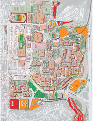
San Diego State University Map
Campus map of San Diego State University. All areas shown.
120 miles away
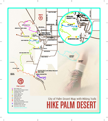
Palm Desert Hiking Trail Map
Trail map of Palm Desert, California. Shows hiking trails leaving right from town
120 miles away
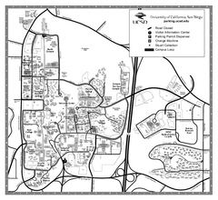
University of California at San Diego Map
University of California at San Diego Campus Map. All area's shown.
120 miles away
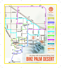
Palm Desert Biking Map
Biking route and trail map of Palm Desert, California
120 miles away
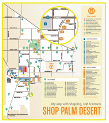
Palm Desert Shopping Map
Visitor map/shopping guide of Palm Desert
121 miles away
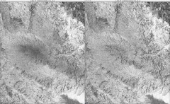
Toro Peak Elevation Map
Created with PALSAR Technology.
122 miles away

Upper Kern River Area Map
This beautiful 35 mile stretch of the Upper Kern River from Lake Isabella to Quaking Aspen offers a...
122 miles away
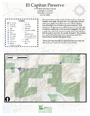
El Capitan Preserve Map
El Capitan Preserve has a view of three reservoirs from one location in the park. The park has...
126 miles away
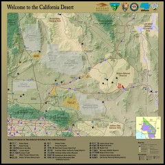
California Desert Recreation Map
Shows points of interest for recreational activities in the California desert
126 miles away
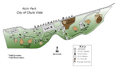
Rohr Park Map
127 miles away
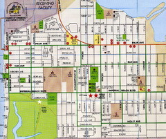
Imperial Beach, San Diego Map
128 miles away
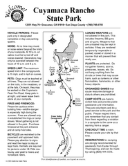
Cuyamaca Rancho State Park Campground Map
Map of park with detail of trails and recreation zones
134 miles away
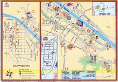
Tijuana Tourist Map
Shows major streets in downtown and Zona Rio of Tijuana, Mexico.
134 miles away
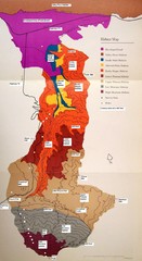
Habitat/Elevation Map of the Sant Rosa Mountains
Deep Canyon, with detailed descriptions of the major plant communities as they change with...
135 miles away

Colonel Allensworth State Historic Park Map
Map of park with detail of trails and recreation zones
135 miles away

Rosarito Beach Map
143 miles away
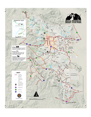
Anza-Borrego Desert State Park Map
Map of park with detail of trails and recreation zones
144 miles away
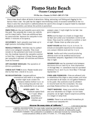
Pismo Beach Oceano Campground Map
Map of oceano campground region of park with detail of trails and recreation zones
144 miles away
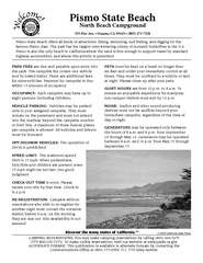
Pismo Beach North Campground Map
Map of park with detail of trails and recreation zones
145 miles away
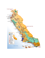
California Central Coast Map
Large tourist map of California's Central Coast. From Monterey to Santa Barbara. Shows all...
145 miles away
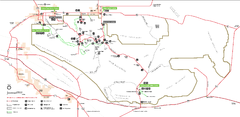
Joshua Tree National Park Official Park Map
Official NPS map of Joshua Tree National Park in California. Map shows all areas. The park is...
149 miles away
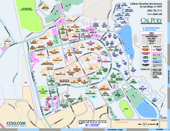
California Polytechnic State University Map
California Polytechnic State University Campus Map. All buildings shown.
152 miles away
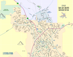
San Luis Obispo City Map - Northern Portion
City map of northern portion of San Luis Obispo, California
152 miles away
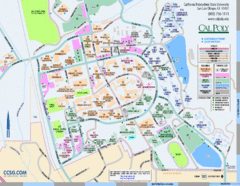
Cal Poly Campus Map
Campus map of California Polytechnic State University in San Luis Obispo, CA
152 miles away
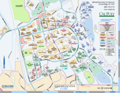
Cal Poly Campus Map
Cal Poly University at San Luis Obispo Campus Map. Includes all buildings, streets, sports fields...
153 miles away
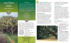
Los Osos Oaks State Reserve Map
Map of reserve with detail of trails and recreation zones
155 miles away
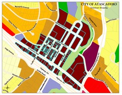
City of Atascadero Map
160 miles away
Morro Bay State Park Map
Map of park with detail of trails and recreation zones
161 miles away
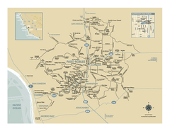
Paso Robles wine country map
Map of Paso Robles area vineyards and wineries.
168 miles away


