
Death Valley National Park Map
173 miles away
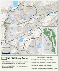
Mt. Whitney Zone Map
Zone map of Mt. Whitney area. Shows trail from Whitney Portal and Zone requiring Limited Use...
174 miles away
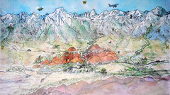
Lone Pine Map
Panorama tourist map of town of Lone Pine, California with surrounding area including the Alabama...
177 miles away
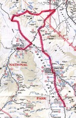
Death Valley Guide Map
180 miles away
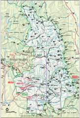
Sequoia National Park map and Kings Canyon...
Official park map of Sequoia National Park and Kings Canyon National Park.
184 miles away
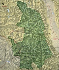
King Canyon and Seqouia Nationa Parks Map
184 miles away
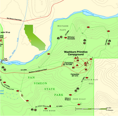
San Simeon State Park East Map
Map of east region of park with detail of trails and recreation zones
185 miles away

San Simeon State Park Map
Map of park with detail of trails and recreation zones
185 miles away
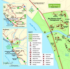
San Simeon State Park West Map
Map of west region of park with detail of trails and recreation zones
185 miles away
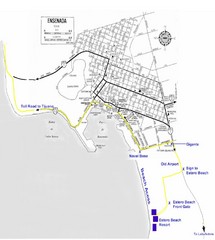
Ensenada, Mexico Beach Tourist Map
186 miles away
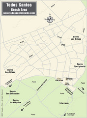
Todos Santos Beach Map
188 miles away
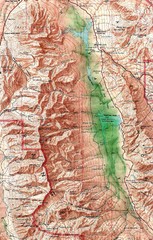
Death Valley National Park Map
188 miles away
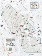
Death Valley National Park map
Official NPS map of Death Valley National Park. Shows all roads (paved and unpaved), 4 wheel drive...
191 miles away

Map of the Baja Wine Country
192 miles away
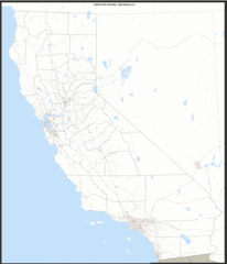
California Zip Code Map
Check out this Zip code map and every other state and county zip code map zipcodeguy.com.
195 miles away
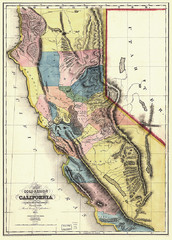
1851 California Regional Map
Great quality map of Californian regions in 1851.
195 miles away
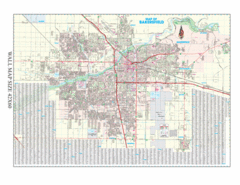
Bakersfield, California City Map
195 miles away
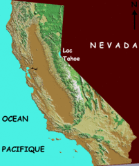
California elevation Map
California map showing elevations by contours, with Lake Tahoe identified.
195 miles away
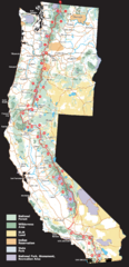
Pacific Crest Trail Route Overview Map
Western United States Map showing National Forests, State Parks, National Parks, Indian...
195 miles away
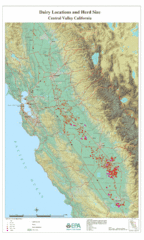
Dairy Locations and Herd Size for the Central...
Map of dairy locations, displayed by herd size in California's Central Valley. Base map...
195 miles away
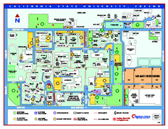
California State University - Fresno Map
California State University - Fresno Campus Map. All areas shown.
200 miles away
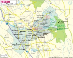
Fresno, California City Map
200 miles away
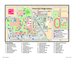
Fresno City College Campus Map
Fresno City College Campus Map. Shows all areas.
202 miles away

California Agricultural Region Map
202 miles away
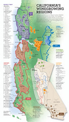
California Wine Map
Wine region map of state of California. Shows 100 American Viticultural Areas (AVAs). There are 4...
207 miles away

San Joaquin Valley Air Basin Map
This map is used to track air monitoring locations in periodic progress reports.
208 miles away
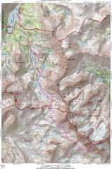
North Palisade South Lake Route Topo Map
Topo map of route from South Lake to North Palisade, 14,242 ft.
211 miles away
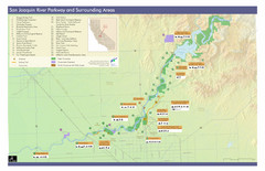
San Joaquin River Parkway Map
Map of the San Joaquin River Parkway. "The San Joaquin River Parkway is a mosaic of parks...
213 miles away

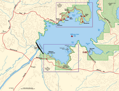
Millerton Lake State Recreation Area Park Map
Map of park with detail of trails and recreation zones
216 miles away
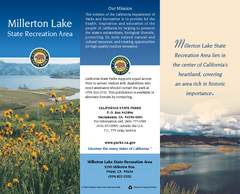
Millerton Lake State Recreation Area Map
Map of park with detail of trails and recreation zones
216 miles away
Millerton Lake State Recreation Area SW Map
Map of SW region of park with detail of trails and recreation zones
216 miles away
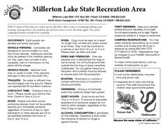
Millerton Lake State Recreation Area Campground...
Map of campground region of park with detail of trails and recreation zones
216 miles away
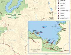
Millerton Lake State Recreation Area SE Map
Map of SE region of park with detail of trails and recreation zones
216 miles away

Millerton Lake State Recreation Area NE Map
Map of NE region of park with detail of trails and recreation zones
216 miles away
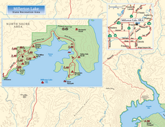
Millerton Lake State Recreation Area NW Map
Map of NW region of park with detail of trails and recreation zones
216 miles away

Sierra High Route Map
Guide to the Sierra High Route, one of the most challenging treks in the Sierras
217 miles away

Limeklin State Park Map
Map of park with detail of trails and recreation zones
220 miles away
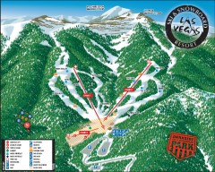
Las Vegas Ski & Snowboard Resort Ski Trail Map
Official ski trail map of Las Vegas Ski & Snowboard Resort (LVSSR) from the 2007-2008 season.
220 miles away

Las Vegas Ski & Snowboard Resort Ski Trail Map
Trail map from Las Vegas Ski & Snowboard Resort, which provides downhill skiing.
220 miles away


