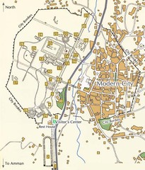
Jarash Jordan Map
117 miles away
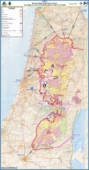
Israel Security Fence Route Map
Revised route of the Israel Security Fence around the West Bank as of Feb 2005
120 miles away
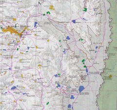
Eastern West Bank Map
Map of Nabulus and Eastern region of West Bank
122 miles away
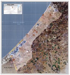
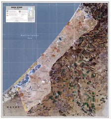
Gaza Strip Map
Shows various boundaries as of 2005
124 miles away
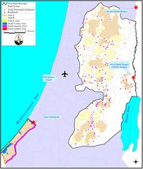
Israel Military Map
Map that describes military activities including check points, security zones, and road blocks.
124 miles away
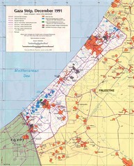
Maps Gaza5 Map
Palestine Maps - Palestine - Home of
125 miles away
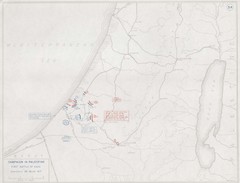
First Battle of Gaza Map 1917
WWI Palestine Front 3/26/1917
125 miles away
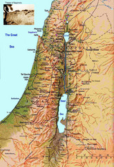
Israel Map
Israel map highlighting location of Theater of Sepphoris
134 miles away
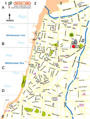
Tel Aviv City Map
City map with detail of main roads
134 miles away
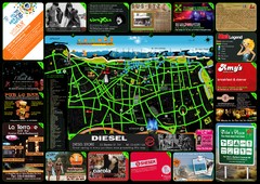
Tel Aviv Hot Map
134 miles away
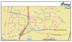
Tel Aviv Railway Map
The rail system in Tel Aviv, Israel
134 miles away
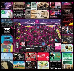
Hot night map tel aviv - israel 2009
a great night map of tel aviv , all the best bars and clus on that map , amzingggggg city
135 miles away
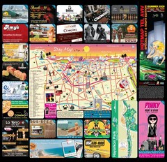
Tel Aviv day map summer 2009
this is a great day map that show the real life in tel aviv , also theres a small map of "park...
135 miles away
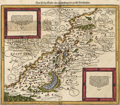
Munster’s Map of the Holy Land (1588)
Sebastian Munster's map of the Abrahamic Holy Land in 1588.
137 miles away
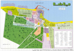
Detailed Map Of Jaffa Before Nakba
Map of Jaffa district and neighboring villages. Note: Map is not in English
137 miles away
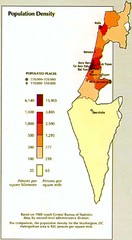
Israel Population Density Map
Map of Israel's population density
141 miles away
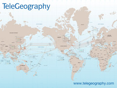
Submarine Cable Map
Shows over 120 submarine cable systems, including major systems that are in service as well as...
148 miles away
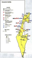
Israel Economic Activity Map
Map of Israel's economic activity
150 miles away
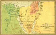
Sinai Peninsula Map - Journey of Israelites from...
Map of Sinai Peninsula showing the journeys of Israelites from Egypt to Promised Land.
151 miles away
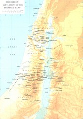
Promised Land Hebrew Settlement Map
Shows division of promised land to twelve tribes of Israel
160 miles away
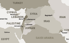
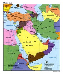
Middle East - North Map
Map of the northern section of the Middle East Countries. Countries ad capitals identified.
167 miles away
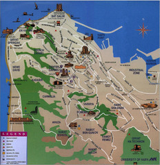
Haifa Tourist Map
Tourist map of Haifa, Israel
169 miles away
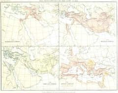
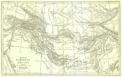
Babylon Persian Greek Roman Empires Map
Shows four ancient empires on the same scale: Babylonian Empire, Persian Empire, Grecian Empire...
176 miles away
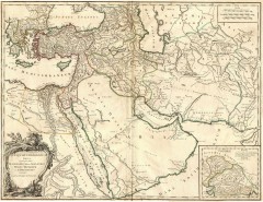
Ancient Empire of Alexander Map
Ancient Empire of Alexander the Great. Map by Didier Robert de Vaugondy, 1753, Yale University...
189 miles away
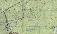
Jordan Iraq boarder Map
197 miles away
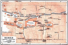
Damascus 1912 Map
Damascus Map from 1912 showing tourist attractions and roads
203 miles away
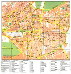
Damascus City Tourist Map
Tourist map of the center of Damascus, Syria.
203 miles away
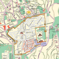
Damascus Tourist map
203 miles away
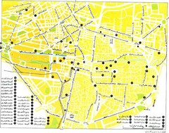
Damascus Tourist map
203 miles away
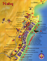
Nabq Bay Tourist Map
207 miles away
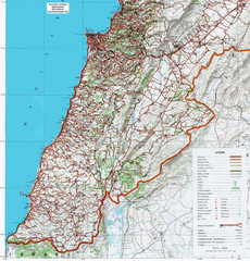
Southern Lebanon Map
Map of southern Lebanon. Shows roads, ruins, and other information.
216 miles away
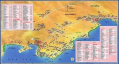
Na'ama Bay, Egypt Tourist Map
Tourist map of Na'ama Bay and Sharm el Sheikh Egypt. Show hotels, restaurants, bars, banks...
220 miles away
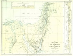
Israel and Sinai Map
The Holy Land -- Peninsula of Sinai -- Lower Egypt
221 miles away
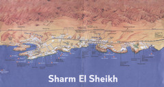
Sharm El Sheikh Coastal Map
Landmarks, hotels and areas in Sharm El Sheikh
222 miles away
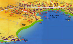
Na'ama Bay Hotel Map
223 miles away
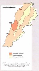
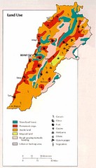
Lebanon Population Density Map
Map of Lebanon's population density
227 miles away

