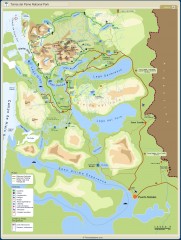
Torres del Paine National Park Map
Torres del Paine National Park. The National Park covers 181,000 hectares with numerous trekking...
3162 miles away
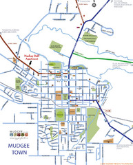
Mudgee Town Map
3178 miles away
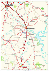
Wellington Region Road Map
Road map of region including Wellington, Dubbo, and Molong, Australia.
3180 miles away
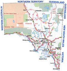
Southern Australia Area Map
Map of Southern Australia.
3186 miles away
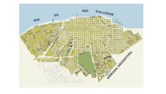
Río Gallegos City Map
City street map
3187 miles away
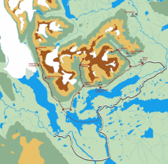
Torres del Paine Trekking Map
Shows trekking/hiking circuit in the Torres del Paine National Park in Chile. Includes hiking...
3188 miles away
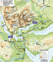
Torres del Paine National Park Map
3191 miles away
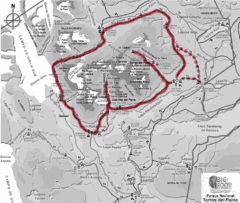
W Circuit Torres del Paine National Park Map
Map of famous trekking circuit in Torres del Paine National Park, Chile. Show refugios along route
3192 miles away
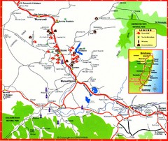
Upper Hunter Valley Tourist Map
Tourist map of Upper Hunter Valley around Muswellbrook, NSW, Australia. Shows horse studs, tourist...
3195 miles away
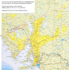
Path of the Total Solar Eclipse over Australia Map
Path of the Total Solar Eclipse of December 04, 2002 written on map of Australia.
3201 miles away
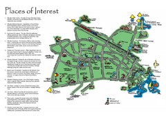
Whyalla Tourist Map
Tourist map of Whyalla, South Africa. Shows places of interest.
3227 miles away
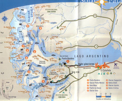
National Park, Perito Moreno Map
3229 miles away
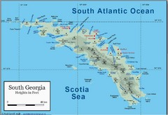
South Georgia and the South Sandwich Islands Map
Guide to the South Georgia and South Sandwich Islands, a British overseas territory and penguin...
3238 miles away
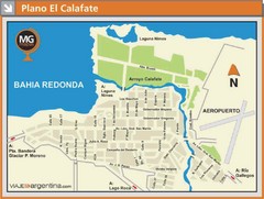
El Calafate City Map
Street map of downtown area
3242 miles away
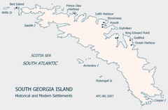
South Georgia Island Settlement Map
Shows historical and modern settlements on South Georgia Island
3242 miles away

Port Macquarie Map
3243 miles away
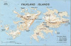
Falkland Islands Tourist Map
3255 miles away
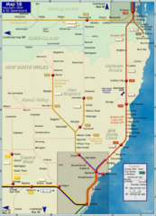
Northern New South Wales Map
Map of long-distance rail system throughout New South Wales and South East Queensland
3257 miles away
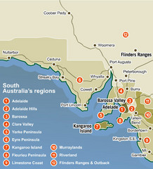
South Australia Map
Map of South Australia region with detail of districts
3257 miles away
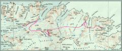
South Georgia Island Shackleton Route 1916 Map
Detailed view of South Georgia Island showing explorer Shackleton's 1916 overland route for...
3260 miles away
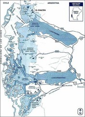
Los Glacieres Park Map
3264 miles away
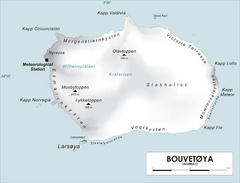
Bouvet Island Map
Map of Bouvet Island in the Southern Atlantic Ocean. Shows peaks and meteorological station.
3267 miles away
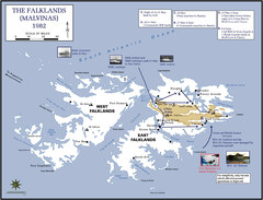
The Falklands War: 1982 Map
The Falklands War: 1982 British campaigns.
3269 miles away
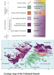
Falkland Islands Geology Map
Geology map of the Falkland Islands
3269 miles away
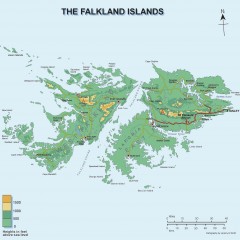
Falkland Islands Elevation Map
Color-coded elevation map of the Falkland Islands
3269 miles away
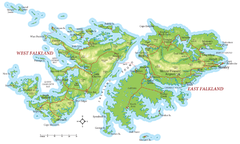
Falkland Islands Map
3270 miles away
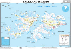
Falkland Islands Map
Overview elevation map of the Falkland Islands
3271 miles away
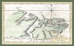
Falkland Islands 1760 Map
3273 miles away
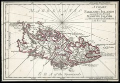
Falkland Islands 1593 Map
3273 miles away
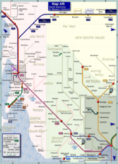
South Australia Map
Map of long-distance rail system throughout South Australia and Western Victoria
3281 miles away

Denmark, Western Australia East District Guide Map
The eastern district of Denmark, Western Australia
3303 miles away

Denmark, Western Australia Guide Map
Locations and areas in Denmark, Western Australia
3303 miles away
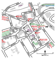
Denmark Western Australia Tourist Map
Tourist map of town of Denmark, Western Australia. Shows accommodations and restaurants.
3303 miles away
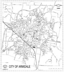
City Of Armidale Map
Large road map clearly marking streets throughout this wonderful city.
3309 miles away
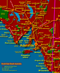
South East South Australia Beach Map
3317 miles away
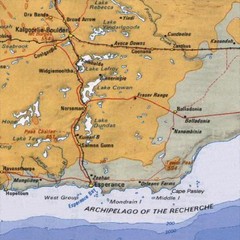
Esperance, Australia Tourist Map
A map of the Esperance region in Australia.
3324 miles away
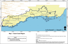
Australia South Coast Region Map
The South Coast region of Australia and proposed new boundaries by Natural Resources Management...
3327 miles away
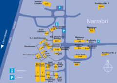
The University of Sydney, Narrabri Campus Map
3333 miles away
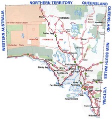
South Australian Map
3343 miles away

