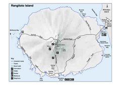
Rangitoto Island Map
Overview map of Rangitoto Island, New Zealand, a volcanic island public reserve.
2856 miles away
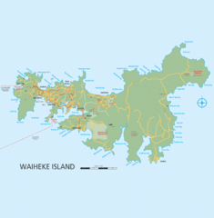
Waiheke Island Map
Reference map of Waiheke Island in the Hauraki Gulf of New Zealand. From waihekenz.com:"...
2857 miles away
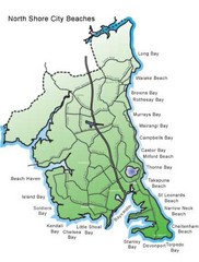
North Shore, New Zealand Beach Map
2857 miles away
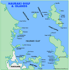
Haukari Gulf Map
2866 miles away
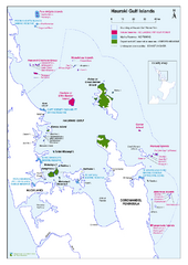
Hauraki Gulf Islands Nature Reserves Map
Shows nature reserves, marine reserves, and boundary of Hauraki Gulf Marine Park.
2880 miles away
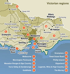
Victoria Map
Map of Victoria region with detail of districts
2882 miles away
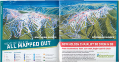
Mount Buller Ski Trail Map
Trail map from Mount Buller.
2882 miles away

Mount Hotham Ski Trail Map
Mount Hotham Alpine Resort ski trail map
2889 miles away
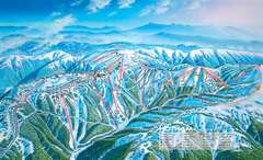
Mount Hotham Ski Trail Map
Trail map from Mount Hotham, which provides downhill, night, nordic, and terrain park skiing. It...
2889 miles away
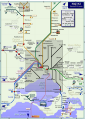
Central Victoria Rail Map
Map of rail system throughout Central Victoria region
2893 miles away
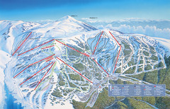
Falls Creek Ski Trail Map
Trail map from Falls Creek.
2896 miles away
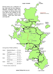
Great Barrier Island Map
On this website you will find comprehensive information about Great Barrier Island including all...
2899 miles away
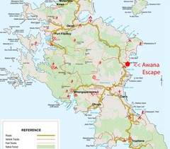
Great Barrier Island Map
2899 miles away
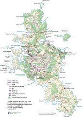
Great Barrier Island Map
2899 miles away
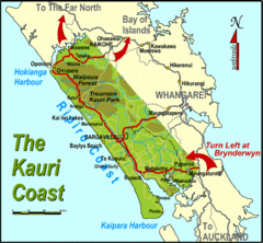
Kauri Coast Map
Map of Kauri Coast region
2900 miles away
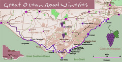
Wineries on Great Ocean Road, Australia Map
2907 miles away
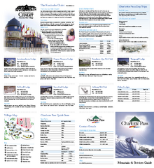
Charlotte Pass Ski Trail Map
Trail map from Charlotte Pass.
2920 miles away
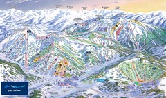
Perisher Ski Trail Map
Trail map from Perisher.
2922 miles away
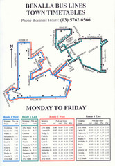
Benalla Bus Lines Map
Bus timetable and route map for town of Benalla
2925 miles away
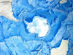
Ocean Floor Around Antarctica Map
Relief map of ocean floor around Antarctica
2925 miles away
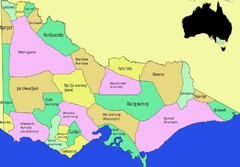
Victorian Aboriginal tribal and language areas Map
This is a map I created of aboriginal tribal territories and languages in Victoria, Australia...
2928 miles away
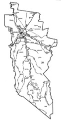
Wangaratta City Map
Map of Rural City of Wangaratta, Australia. Describes all roads, highways, rivers and towns.
2937 miles away
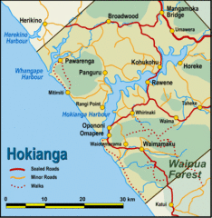
Hokianga Map
Map of Hokianga region, with detail of major towns
2946 miles away
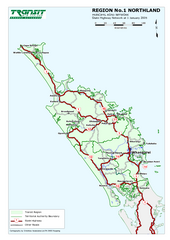
Northland Map
Regional map of Northland, including highway detail
2950 miles away
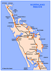
Northland Map
Map of Northland / Bay of Islands New Zealand
2950 miles away
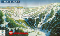
Selwyn Snowfields Ski Trail Map
Trail map from Selwyn snowfields.
2960 miles away

City of Shoalhaven Map
Tourist map for Burrill Lake Tourist Park in New South Wales, Australia.
2979 miles away
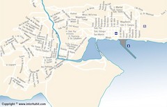
Ushuaia City Map
Street map of city
2983 miles away
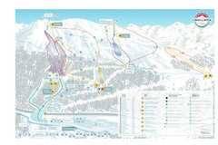
Cerro Castor Ski Trail Map
Trail map from Cerro Castor.
2985 miles away
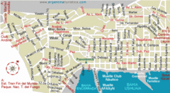
Ushuaia City Map
Streets and roads are labeled on map.
2985 miles away
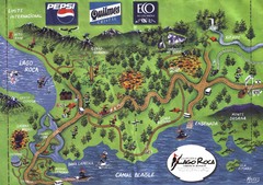
Tierra del Fuego National Park Camping Map
Map of campsites in Lago Roca area of park
2991 miles away
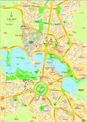
Canberra Street Map
2994 miles away
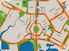
Canberra Hotels Map
2995 miles away

Booderee National Park Trail Map
Trail map of walking trails in Booderee National Park, Australia
2996 miles away

Kerguelen Island land use Map
2999 miles away
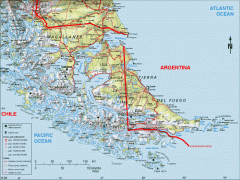
Southern Tip of South America Map
Shows Tierra del Fuego and other regions around the Strait of Magellan. Chile and Argentina.
3004 miles away
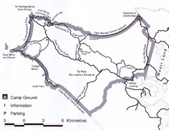
Cape Reinga Coastal Walkway Map
Trail map of the Cape Reinga Coastal Walkway
3011 miles away
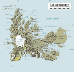
French Southern Territories Map
Physical map of French Southern and Antarctic Lands.
3017 miles away

