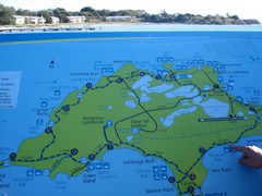
Rottnest Island Map
Tourist map of Rottnest Island, Australia. From photo.
3344 miles away
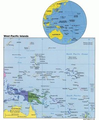
West Pacific Islands Map
Guide to the island nations of the West Pacific, such as the Federated States of Micronesia...
3386 miles away
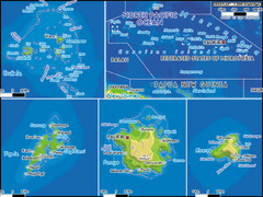
Micronesia Islands Map
Map of Micronesia region with detail of collection of islands
3401 miles away

Truk atoll Map
3402 miles away
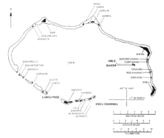
Bikini atoll Map
3403 miles away
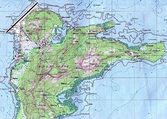
Weno (Moen) island Map
3404 miles away
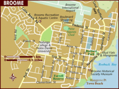
Broome, Australia City Map
3431 miles away
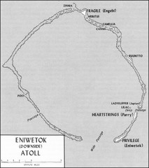
Eniwetok atoll Map
3440 miles away
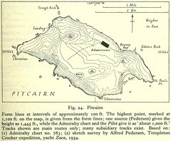
Historic Pitcairn Islands Map
Guide to Pitcairn Islands, a British overseas territory
3446 miles away
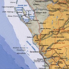
Geraldton, Australia Region Map
3484 miles away
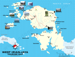
West Irian Jaya Tourist Map
Tourist map of West Irian-Jaya, Indonesia. Shows photos of interesting points.
3570 miles away
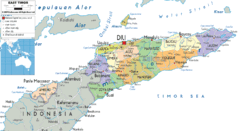
East Timor political Map
3590 miles away
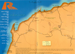
Karratha Road Map
Road Map shows all roads around Karratha, and the distances in Kilometers to other towns.
3606 miles away
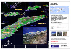
Timor-Leste map
3612 miles away
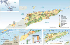
East Timor Map
Four part map shows biomes, offshore Kelp oil deposits, languages, and topology of East Timor
3613 miles away
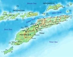
East Timor Map
3621 miles away
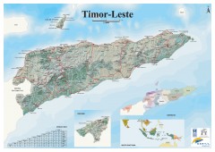
East Timor Relief Map
Shaded relief map of East Timor. Inset map shows location in Southeast Asia. Additional inset...
3621 miles away
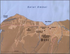
Dili Map
3642 miles away
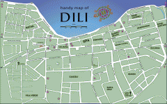
Dili Street Map
Street map of Dili, the capital of East Timor
3643 miles away
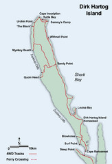
Dirk Hartog Island Map
3662 miles away
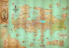
Mapa imaginario del Pais de HASARD Map
3705 miles away
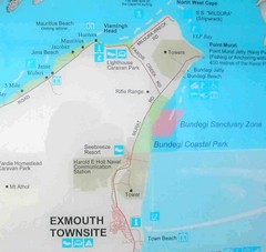
Exmouth, Australia Beach Map
3721 miles away
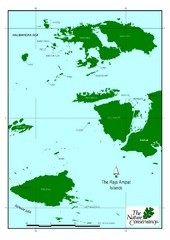
Raja Ampat Islands Map
3762 miles away
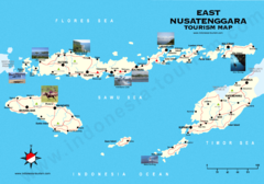
East Nusatenggara Tourist Map
Tourist map of East Nusatenggara, Indonesia. Shows some photos.
3791 miles away

Mariana Trench Map
3799 miles away
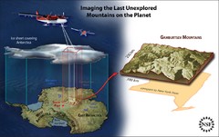
Gamburtsev Subglacial Mountains Map
First ever map of the last unexplored mountains on the planet, the Gamburtsev Subglacial Mountains...
3815 miles away
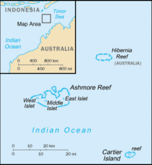
Ashmore and Cartier Islands Tourist Map
3841 miles away
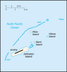
Johnston Atoll Island Tourist Map
3845 miles away
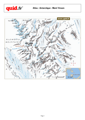
Mont Vinson Map
Map of Vinson Massif mountain range, the highest range in Antartica, 16,050 ft high. Located about...
3864 miles away
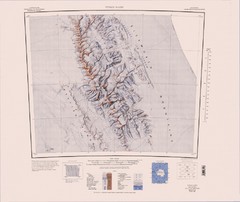
Vinson Massif Topo Map
Topo map of Vinson Massif, the highest mountain in Antarctica at 16067 ft / 4897 m. One of the...
3874 miles away
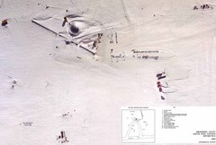
Amundsen Scott South Pole Station Aerial Map
Aerial photo map of the US Amundsen Scott South Pole Station at the South Pole, Antarctica
3907 miles away

Chernarus Map
3918 miles away
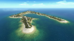
Wake Island Map
Screen shot from computer game of Wake Island 1943
3919 miles away
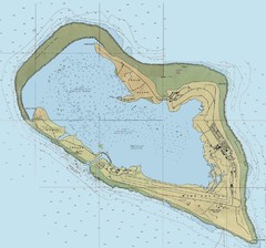
Wake Island Map
3919 miles away
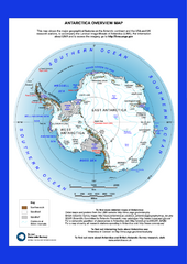
Antarctica Overview Map
Overview map of Antarctica shows geological features and US and UK research stations
3959 miles away
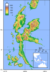
Halmahera Topography Map
Shows color coded shaded relief of island of Halmahera, Indonesia.
3965 miles away
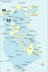
Taka Bonerate Map
The Bonerate National Park is home to the third biggest atoll in the world after Kwajifein in the...
3977 miles away
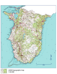
Guam Topo Map - South
Topo map of southern portion of island of Guam. 1:50,000 scale.
3985 miles away
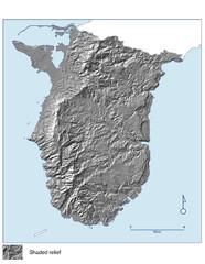
Shaded Relief of southern Guam Map
3985 miles away
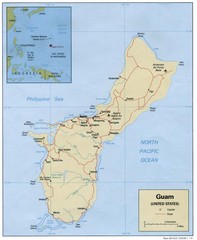
Guam Tourist Map
3986 miles away

