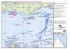
Torres Strait Land Use Map
Map of land use agreement for Boigu Island. Shows islands in the Torres Strait between Papua New...
2749 miles away
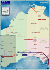
Central Australia Rail Map
Map of long-distance rail system throughout Central and Northern Australia
2765 miles away
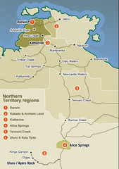
Northern Territory Map
Map of Northern Territory region wtih detail of districts
2784 miles away
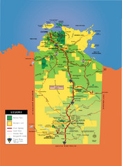
Northern Territory Map
Map of Northern Territory, Australia shows roads, national parks, and aboriginal lands.
2800 miles away
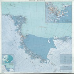
Ross Sea Regions Map
Physical relief map of the Ross Sea regions. Shows Victoria Land, Ross Sea, McMurdo Sound, Ross Ice...
2815 miles away
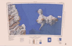
Ross Island Topo Map
Topo map of Ross Island, Antarctica. Shows US Mcmurdo Station, New Zealand Scott Base and volcanic...
2816 miles away
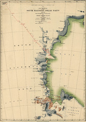
Map of Shackleton’s 1907-1909 Antarctic...
Eric Stewart Marshall's map of Shackleton's "Nimrod" expedition of 1907-09.
2819 miles away
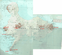
Ross Island Map
Topo map of Ross Island, home of the US McMurdo Station, Mt. Erebus, Mt. Terror, Cape Evans, Cape...
2827 miles away
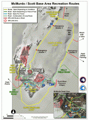
McMurdo and Scott Base Area Recreation Route Map
Shows roads around McMurdo Station (US) and Scott Base (New Zealand) Antarctic research stations on...
2836 miles away
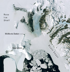
Ross Island McMurdo Station Area Landsat Map
Landsat mosaic map of the Ross Island / Ross Ice Shelf / U.S. McMurdo Station area
2852 miles away
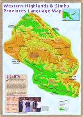
Western Highlands language Map
2856 miles away
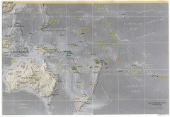
Oceania Overview Map
Overview physical relief map of Oceania. Shows major Oceania Pacific Ocean island groups. Map...
2866 miles away
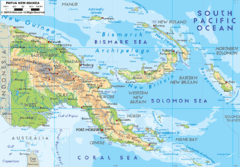
Papua New Guinea physical Map
2869 miles away
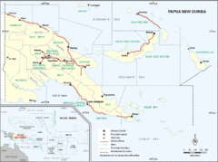
Papua New Guinea Map
2869 miles away
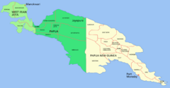
New Guinea Map
Regional Map of the Island of New
2869 miles away

US outlying minor properties Map
2911 miles away
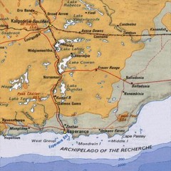
Esperance, Australia Tourist Map
A map of the Esperance region in Australia.
2952 miles away

Jaliut atoll Map
2983 miles away
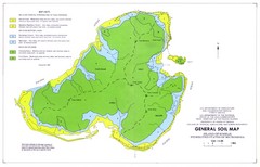
Kosrae Island Soil Map
General soil map of Kosrae Island
3015 miles away
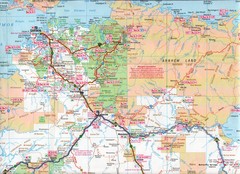
Katherine Region, Australia Map
3033 miles away

Arno atoll Map
3044 miles away
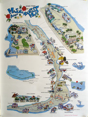
Majuro Atoll Downtown Tourist Map
Tourist map of Majuro Atoll in the Marshall Islands. Shows all points of interest.
3047 miles away

Majuro atoll Map
3051 miles away
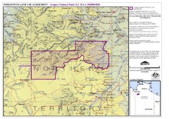
Gregory National Park and Northern Territory...
3069 miles away
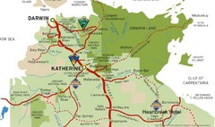
Katherine Australia Tourism Map
Partial map of the Northern Territory in Australia including Katherine, Darwin and Cape Crawford...
3071 miles away
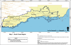
Australia South Coast Region Map
The South Coast region of Australia and proposed new boundaries by Natural Resources Management...
3074 miles away
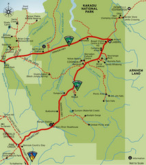
Kakadu National Park, Australia Map
3076 miles away
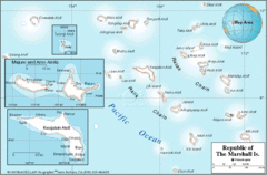
Marshall Islands Map
3077 miles away
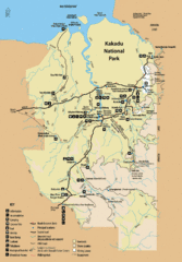
Kakadu National Park Map
Official map of Kakadu National Park, Australia. Shows all roads, trails, and facilities
3087 miles away
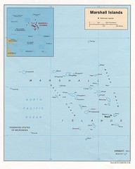
Marshall Islands Map
Guide to the island country of Marshall Islands
3092 miles away
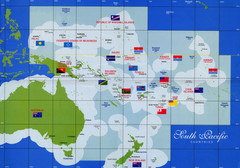
South Pacific Countries Map
Shows countries of the South Pacific with flags.
3124 miles away

Maleolap and Aur atoll Map
3143 miles away

Ames Range Topo Map
Topo relief map of the Ames range in western Marie Byrd Land, Antarctica. Shows Mt. Andrus 9,770...
3153 miles away
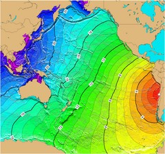
Tsunami Time Travel to Chile Map
The amount of time it will take for a tsunami in Chile to head West toward Australia. Based on the...
3160 miles away

Denmark, Western Australia East District Guide Map
The eastern district of Denmark, Western Australia
3170 miles away

Denmark, Western Australia Guide Map
Locations and areas in Denmark, Western Australia
3170 miles away
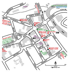
Denmark Western Australia Tourist Map
Tourist map of town of Denmark, Western Australia. Shows accommodations and restaurants.
3170 miles away
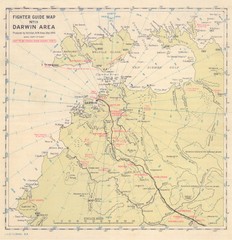
Darwin Area Fighter Guide Map
Fighter Guide Map of Airfields around Darwin
3186 miles away
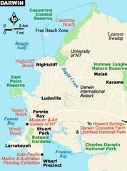
Darwin, Australia City Map
3195 miles away

