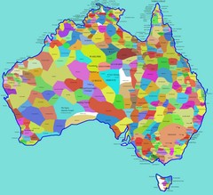
Australia Aboriginal Tribes Map
Shows original regions of aboriginal tribes in Australia.
2535 miles away
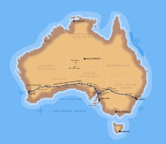
Indian Pacific Railroad Route Map
Detailed route map of the Indian Pacific Railroad. Shows the world's longest straight stretch...
2535 miles away
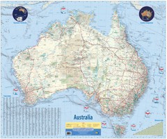
Australia Wall Map
High quality wall map of Australia
2535 miles away
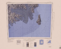
Coulman Island Map
An island 18 miles long and 8 miles wide
2537 miles away
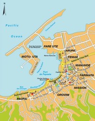
Papeete city Map
2547 miles away
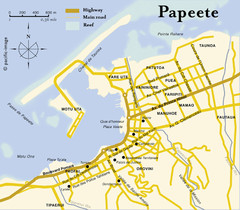
Papeete map ( on Tahiti )
2547 miles away
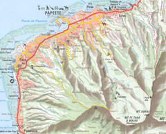
Papeete vicinity Map
2547 miles away
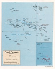
French Polynesia Tourist Map
2548 miles away
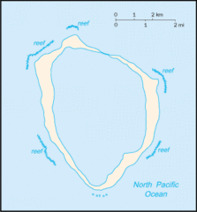
Clipperton Island Tourist Map
2548 miles away
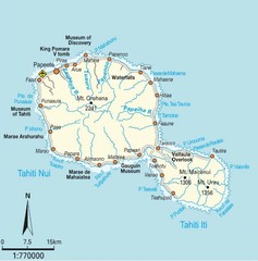
Tahiti Map
2549 miles away
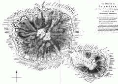
Captain Cook's Map of Tahiti
Map of Tahiti in French Polynesia according to the survey taken by Captain Cook and later corrected...
2549 miles away
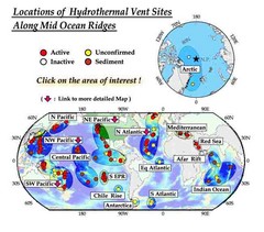
Global Map of Hydrothermal Vents
Map of underwater hydrothermal vents. Could not get to original to get more detailed areas. Vents...
2561 miles away

Nauru Map
Guide to Nauru, the world's smallest island nation
2561 miles away
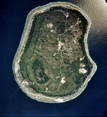
Nauru Satellite Map
Satellite photo map of island of Nauru
2561 miles away
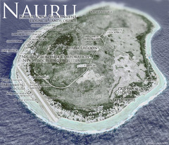
Nauru Tourist Map
Tourist map of island nation of Nauru, the smallest island nation in the world and the 3rd smallest...
2561 miles away

Nauru Region Map
Guide to Nauru, the world's smallest island nation
2561 miles away

Nauru tourist Map
2562 miles away

Nauru Map
2562 miles away

Nauru island Map
2562 miles away
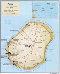
Nauru Island Tourist Map
2562 miles away

Nauru physical Map
2562 miles away
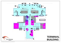
Alice Springs Airport Map
Terminal map of Alice Springs Airport (ASA), Australia.
2578 miles away
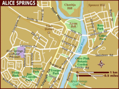
Alice Springs, Australia Tourist Map
2583 miles away
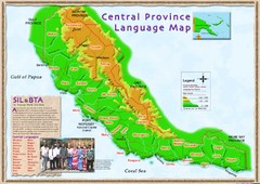
Central province language Map
2589 miles away
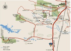
Alice Springs to Uluru Map
2595 miles away
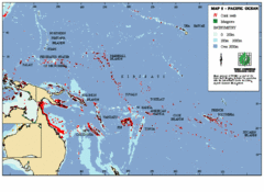
East Asian Pacific Ocean Map
Map of the Pacific Ocean surrounding East Asian Islands from the Solomon Islands to USA Hawaii.
2613 miles away
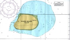
Baker Island Nautical Map
Nautical map of US unincorporated territory of Baker Island.
2623 miles away
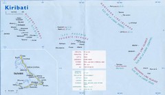
Kiribati Overview Map
Overview map of Pacific country of Kiribati. Kiribati is a Micronesian country made up of 33 low...
2633 miles away

Northern Territory Australia Tourist Map
2650 miles away
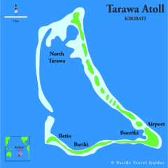
Tarawa atoll Map
2651 miles away
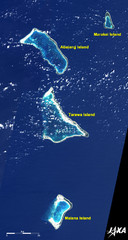
Kiribati Islands Map
Kiribati satellite image of Kiribati Islands of Tarawa Island, Abaiang Island, Marakei Island, and...
2654 miles away
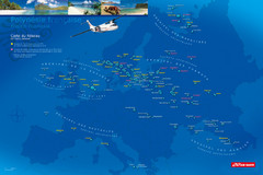
French Polynesia Map
Show islands of French Polynesia overlaid on outline map of Europe. Shows Air Tahiti flight...
2678 miles away
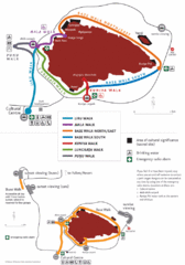
Uluru Walks Map
Shows walks around Uluru (aka Ayer's Rock) in the Outback
2684 miles away
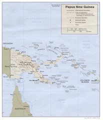
Papua New Guinea Map
2685 miles away
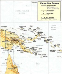
Papua New Guinea topographic Map
2701 miles away
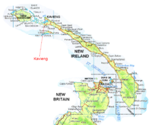
New Ireland and Kavieng Map
2713 miles away
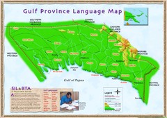
Gulf Province language Map
2736 miles away
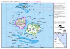
Badu Island and Moa Island Map
2744 miles away
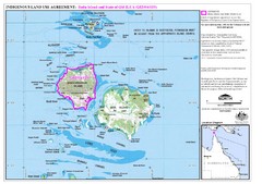
Badu Island Land Use Map
Land use agreement map on Badu Island in the Torres Strait.
2746 miles away

