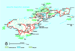
American Samoa National Park Official Park Map
Official NPS map of National Park of American Samoa in Samoa. Map shows all areas of national park...
1796 miles away
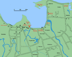
Apia Road Map
Simple map marking rivers and roads.
1797 miles away
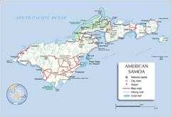
American Samoa Tutuila Island Map
1798 miles away
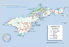
Tutuila Island Map
1799 miles away
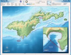
Fagatele Bay National Marine Sanctuary Map
Topographic and bathymetric map of Fagatele Bay National Marine Sanctuary in American Samoa.
1799 miles away
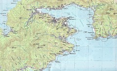
Pago Pago Map
1800 miles away
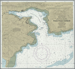
Pago Pago Harbor Tourist Map
1801 miles away
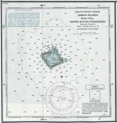
Rose Atoll Tourist Map
1803 miles away
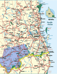
South East Queensland Map
A detailed map of the South East portion of Queensland, Australia, including Brisbane.
1815 miles away
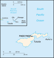
American Samoa Tourist Map
1818 miles away
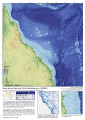
Great Barrier Reef and Coral Sea Bathymetry Map
High resolution depth and elevation map of the Great Barrier Reef, Coral Sea and neighbouring...
1832 miles away
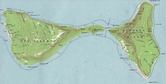
Ofu Olosega Islands Map
Topo map of islands of Ofu and Olosega, American Samoa
1840 miles away
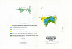
Manu'a Islands Tourist Map
1841 miles away
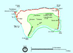
Manu'a Island Map
National Park of American Samoa
1841 miles away
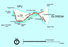
Ofu and Olosega Island Tourist Map
1842 miles away
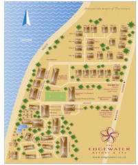
Edgewater Resort, Rarotonga, Cook Is Map
1869 miles away
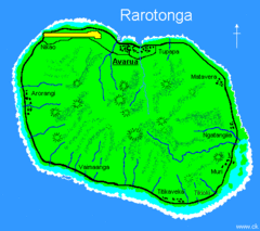
Rarotonga Island Map
Clear map marking rivers and towns.
1870 miles away
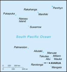
Cook Islands Tourist map
1870 miles away
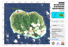
Rarotonga Island Map
Reference map of Rarotonga Island. In French.
1871 miles away
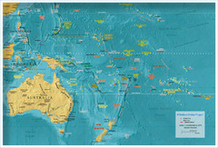
Oceania Map
1875 miles away
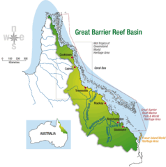
Great Barrier Reef Basin Map
1888 miles away
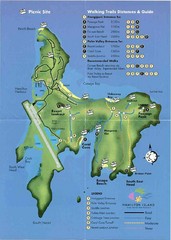
Hamilton Island Tourist Map
1927 miles away
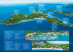
Hamilton Island, Australia Map
1928 miles away
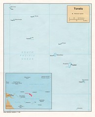
Tuvalu Political Map
Guide to the island nation of Tuvalu
1929 miles away
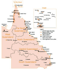
Queensland Map
Map of Queensland and Torres Strait islands
1959 miles away

Meningie, Australia Tourist Map
Map of a race in Meningie, Australia
1966 miles away
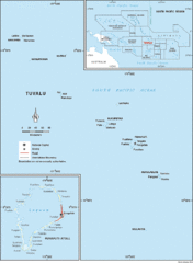
Tuvalu Map
Guide to Tuvalu, previously known as Ellice Islands, a Polynesian island nation
1974 miles away

Funufuti atoll Map
1976 miles away
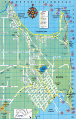
Bowen Map
Tourist street map
1978 miles away
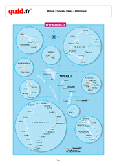
Tuvalu Regional Map
Map of collection of islands with detail of various regions
1979 miles away

Relative size of Tuvalu Islands and atolls Map
1979 miles away

Swain's Island Map
1990 miles away
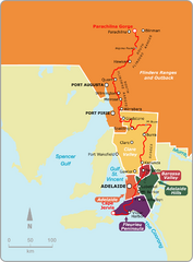
Heysen Trail Map
Map showing relevant tourist regions the Heysen Trail passes through.
1995 miles away
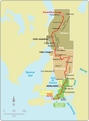
Heysen Trail Fire Ban Map
Map showing relevant Fire Ban areas of the Heysen Trail in South Australia.
2006 miles away

Victor Harbor Map
Tourist map of Victor Harbor, Australia
2007 miles away
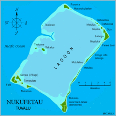
Nukufetau atoll Map
2008 miles away
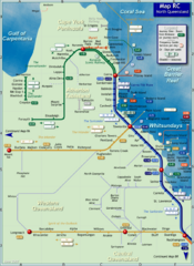
Northern Queensland Rail Map
Map of long-distance rail system throughout Northern Queensland
2013 miles away
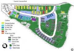
Gawler Caravan Park Map
2017 miles away
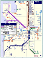
Adelaide Rail and Tram Map
Map of rail and tram systems throughout Adelaide and surrounding area
2017 miles away

