Other maps
This page contains maps that do not belong to any continent.
Related Info
Other Keywords
airport airports armenia attractions australia beach boating campground camping canada china city country elevation europe fishing fun hike hiking history hotels island italy karabakh lake map mountain mountains national national park nature park parks province recreation reference region river rivers road shopping ski area skiing state state park street summer thailand topo tourism tourist town trail trails train transportation travel united states walk water
Other Maps
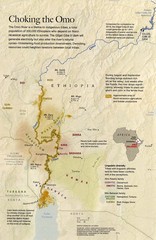
Omo River Ethiopia Map
Choking of the Omo River from National Geographic Magazine
Near omo river ethiopia
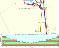
Onion Lake Dog Ski Trail Map
Trail map from Onion Lake, which provides nordic skiing. This ski area has its own website.
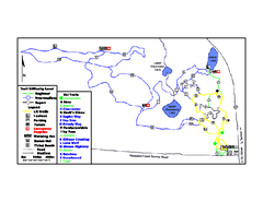
Onion Lake Ski Trail Map
Trail map from Onion Lake, which provides nordic skiing. This ski area has its own website.

Ontario Regional Trail Committee Boundaries Map
Sources: TCT, DMTI Spatial., MNR Projection: UTM, NAD83. Produced by the TCT in Montreal...
Near ontario canada
Oregon Trail Historical Map
Near Oregon
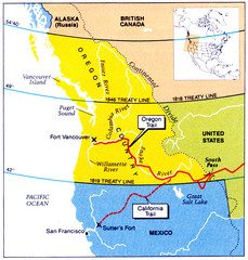
Oregon Treaty Historical map
Near Oregon
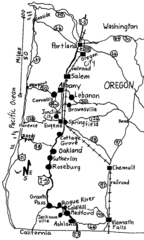
Oregon Walks Map
Walks in Portland, Oregon City, Corvallis, Salem, Lebanon, Albany, Eugene, Springfield...
Near Oregon
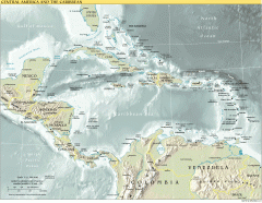
Overview map of Central America and the...
Shows the entire Caribbean region with names of islands/countries and major towns/cities.
Near El Cajuil, Dominican Republic

Pacheco State Park Map
Map of park with detail of trails and recreation zones
Near 38787 Dinosaur Point Rd, Hollister, CA
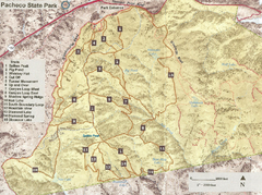
Pacheco State Park Trail Map
Map of park with details of different trails
Near 38787 Dinosaur Point Rd, Hollister, CA
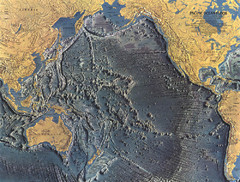
Pacific Ocean Floor Map
Near pacific ocean
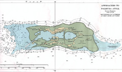
Palmyra atoll Map
Near 5 53 N, 162 05 W
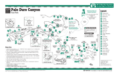
Palo Duro, Texas State Park Facility and Trail...
Near Palo Duro, Texas
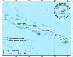
Papahanaumokuakea Marine National Monument Map
Near Papahanaumokuakea

