Virginia maps
Top Contributors..
-
8

Brigid
-
3

nava
-
2

nicky
-
2

jonahadkins
Claim the World, Map by Map
Claim a country by adding the most maps.Celebrate your territory with a Leader’s Boast.
Become World Leader by claiming the most!
Virginia Cities by Map Count..
- 4Williamsburg maps
- 3Blacksburg maps
- 3Harrisonburg maps
- 3Lorton maps
- 3Virginia Beach maps
- 2Alexandria maps
- 2Charlottesville maps
- 2Fairfax maps
- 2Lynchburg maps
- 2Massanutten maps
- 2Norfolk maps
- 2Petersburg maps
- 2Potomac maps
- 2Richmond maps
- 2Stanley maps
- 2Vienna maps
- 1Amherst map
- 1Appomattox map
- 1Arlington map
- 1Bedford map
- 1Bellwood map
- 1Bluemont map
- 1Burke map
- 1Burkeville map
- 1Centreville map
- 1Chantilly map
- 1Chesterfield map
- 1Christiansburg map
- 1Clarksville map
- 1Clifton Forge map
- 1Culpeper map
- 1Cumberland map
- 1Dillwyn map
- 1Dublin map
- 1Duffield map
- 1Fort Lee map
- 1Gainesville map
- 1Galax map
- 1Haysi map
- 1Hillsboro map
- 1Manassas map
- 1Marion map
- 1Montross map
- 1Nellysford map
- 1North Shore map
- 1Rescue map
- 1Roanoke map
- 1Sherando map
- 1South Boston map
- 1Spotsylvania map
1 2
Related Info
Virginia Keywords
adventure airport airports attractions beach biking bus camping campus city college county cycling downhill elevation entertainment fishing fun hike hiking historical lake metro monument mountain biking museum national park nature niehues park parking parks recreation restaurants river road roads school ski area skiing sport state state park station street map summer terminal tour tourism town trail trails travel united united states university vacation walk wildlife wine
Virginia Maps
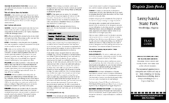
Leesylvania State Park Map
Clear map of this small state park.
Near Leesylvania State Park, Virginia
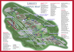
Liberty University Map
Near Liberty University, Lynchburg, VA
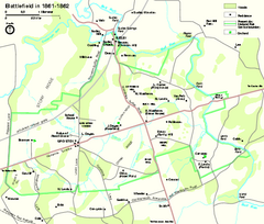
Manassas National Battlefield Park Official Map
Official NPS map of Manassas National Battlefield Park in Virginia.
Near 12521 Lee Highway Manassas, Virginia 20109
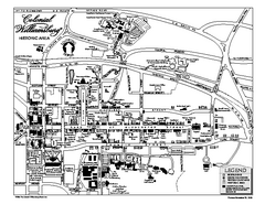
Map of Colonial Williamsburg
Historic map of Colonial Williamsburg in Virginia. Shows all roads, buildings and visitor...
Near 305 South England Street, Williamsburg, VA 23185
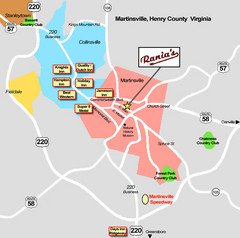
Martinsville Restaurant and Hotel Map
Near Martinsville, VA
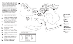
Mason Neck State Park Map
Trail map of Mason Neck State Park near Lornton, Virginia. Shows approx. 3 miles of hiking...
Near 7301 High Point Rd, Lorton, VA 22079
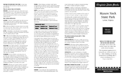
Mason Neck State Park Map
Descriptive map detailing trails, rest stops, and more.
Near Mason Neck State Park, Virginia
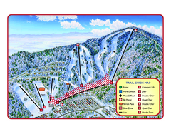
Massanutten Resort Ski Trail Map
Trail map from Massanutten Resort.
Near Massanutten, Virginia, United States
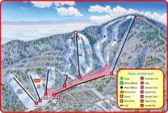
Massanutten Ski Trail Map
Official ski trail map of Massanutten ski area from the 2007-2008 season.
Near 1822 Resort Drive, McGaheysville, VA
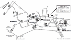
Nasa Center Langley Map
Near Wythe Creek Dr. & Langley Blvd.
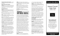
Natural Tunnel State Park Map
Detailed and informative state park map and legend.
Near Natural Tunnel state park, Virginia
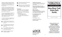
New River Trail State Park Map
Clear and detailed state park map.
Near New River Trail State Park, Virginia
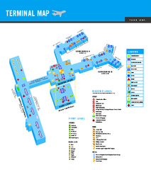
Norfolk International Airport Terminal Map
Terminal Map of Norfolk International Airport in Virginia. Shows all areas.
Near Norfolk International Airport
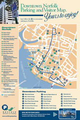
Norfolk, Virginia City Map
Near Norfolk, Virginia
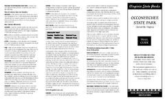
Occoneechee State Park Map
This map clearly marks rest stops, trails, campgrounds and more.
Near Occoneechee State Park, Virginia
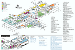
Old Dominion University Map
Campus Map of Old Dominion University. All buildings shown.
Near Norfolk, Virginia

Peninsula of Hampton Roads Map
Near 23606


 Maps contributed
 Big Map
  Gallery