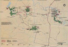
Westmoreland State Park Map
near Westmoreland State Park, Virginia
See more

 See more
Nearby Maps

Sandy Point State Forest Hunting Map
Virginia Department of Forestry Hunting Areas
34 miles away
Near Sandy Point State Forest, Virginia

Leesylvania State Park Map
Clear map of this small state park.
37 miles away
Near Leesylvania State Park, Virginia

Mason Neck State Park Map
Descriptive map detailing trails, rest stops, and more.
38 miles away
Near Mason Neck State Park, Virginia

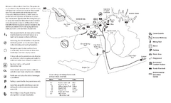
Mason Neck State Park Map
Trail map of Mason Neck State Park near Lornton, Virginia. Shows approx. 3 miles of hiking trails...
38 miles away
Near 7301 High Point Rd, Lorton, VA 22079

 click for
 Fullsize

0 Comments
New comments have been temporarily disabled.