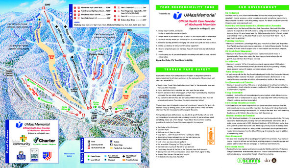
Wachusett Mountain Ski Trail Map
near Princeton, Massachusetts, United States
See more
 See more
Nearby Maps

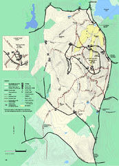
Wachusett Mountain State Reservation trail map
Trail map of Wachusett Mountain State Reservation in Massachusetts.
less than 1 mile away
Near Princeton, ma

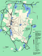
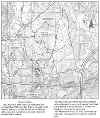
Leominster State Forest trail map
Trail map of Leominster State Forest in Massachusetts
3 miles away
Near leominster, ma

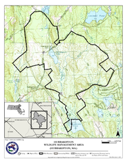
Hubbardston WMA Map
4 miles away
Near hubbardston ma

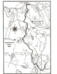
Monoosnoc Trail Map
5 miles away

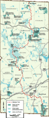
Midstate Trail Map
Map of the Midstate Trail, which runs from Ashburnham to the Rhode Island border. Shows state...
7 miles away
Near North Woods, Massachusetts

Trout Brook Conservation Area Map
8 miles away
Near holden ma

 click for
 Fullsize

0 Comments
New comments have been temporarily disabled.