
 Edit this map

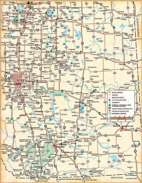
Southern Alberta Map
near Countess, Canada
View Location
Shows highways, cities and towns, national/provincial parks and recreation areas, UNESCO World Heritage Sites, scheduled airline stops, and Aboriginal reserve
Tweet
See an error? Report it.
Keywords
reference, alberta, campgrounds, lake newel, red cliff, yellow lake, stettler, red deer, distance from medicine hat to stettler, peace river, millarville, tofield, alberta beach, horse lake, bow island, guy, brandon, stony plain, grassland, creeks, fortst john, central alberta, northern alberta, boyle, tourist, campgrounds, campgrounds, campgrounds, campgrounds, wabasca, wabasca
 See more

Nearby Maps
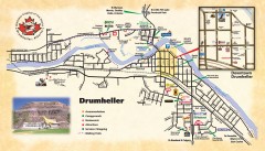
Drumheller Tourist Map
Tourist map of Drumheller, Alberta. Shows accommodations, campgrounds, restaurants, attractions...
48 miles away
Near Drumheller, Alberta
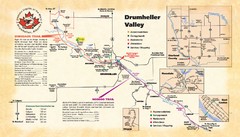
Drumheller Valley Tourist Map
Tourist map shows trails and points of interest of area around Drumheller, Alberta.
48 miles away
Near Drumheller, Alberta
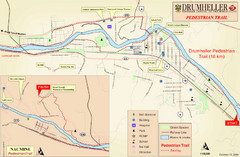
Drumheller Pedestrian Trail Map
48 miles away
Near Drumheller, Alberta, Canada
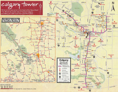
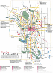
Calgary Tourist Map
Tourist map of Calgary, Canada. Shows points of interest. Scanned.
77 miles away
Near Calgary, Alberta, Canada
Calgary Map
77 miles away
Near Calgary
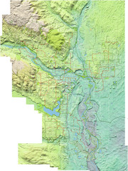
Calgary Topo Bike Map
This map shows the city of Calgary's bike routes. The topographic representation of the...
78 miles away
Near Calgary, Canada

 See more


 Explore Maps
 Map Directory
 click for
 Fullsize


2 Comments
this map needs a zoom option-the print is very small
yes, a zoom option or similar way to view a section; also a search option.