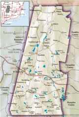
South County Berkshires map
near Stockbridge, MA
View Location
Tourist map of Great Barrington, Housatonic, Sheffield, S. Egremont, N. Egremont Lenox, Stockbridge, Lee, South Lee, Richmond W. Stockbridge, Lenoxdale
See more
 See more
Nearby Maps

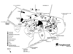
Tanglewood Map
Detailed map of the Tanglewood grounds that includes the location of the Box Office, Friends Office...
5 miles away
Near 297 West Street, Lenox, MA

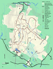
Beartown State Park Winter Map
Winter use map of Beartown State Park in Massachusetts
5 miles away
Near beartown, ma

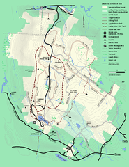
Beartown State Park Summer Map
Summer Map of Beartown State Park in Massachusetts.
5 miles away
Near beartown, ma

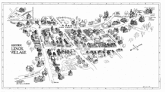
Lenox Village Map
Hand-drawn village map of historic center of Lenox, Massachusetts
6 miles away
Near Lenox, MA

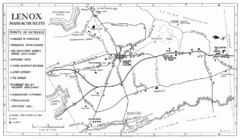
Lenox Town Map
Hand-drawn town map of Lenox, Mass. Bordered by Lenox Mountain and October Mountain. Shows points...
6 miles away
Near Lenox, MA

Berkshires Map
Overview map of the Berkshires region of Western Massachusetts
7 miles away
Near Stevens Corner, Massachusetts

 click for
 Fullsize


0 Comments
New comments have been temporarily disabled.