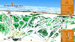
Powderhorn Resort Ski Trail Map
near Colorado, United States
View Location
Trail map from Powderhorn Resort, which provides downhill and terrain park skiing. It has 4 lifts servicing 29 runs; the longest run is 3540.5566867022'. This ski area opened in 1966, and has its own website.
See more
 See more
Nearby Maps

Powderhorn Ski Trail Map
Official ski trail map of Powderhorn Resort ski area from the 2007-2008 season.
less than 1 mile away
Near 48338 Powderhorn Road, Mesa, CO

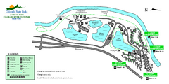
Island Acres State Park Map
Map of island acres section of the James M Robb Colorado River State Park
19 miles away
Near Clifton, CO

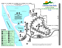
Fruita Area State Park Map
Map of fruita section of the James M Robb Colorado River State Park
21 miles away
Near Fruita, CO

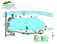
Corn Lake State Park Map
Map of corn lake section of the James M Robb Colorado River State Park
22 miles away
Near Clifton, CO

Vega State Park Map
Map of park with detail of recreation zones and campgrounds
22 miles away
Near Vega State Park, CO

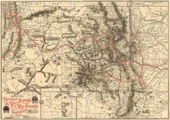
Denver and Rio Grande and Rio Grande Western...
Shows the Denver & Rio Grande and Rio Grande Western railroad system map circa 1904
23 miles away

 click for
 Fullsize

0 Comments
New comments have been temporarily disabled.