
 Edit this map

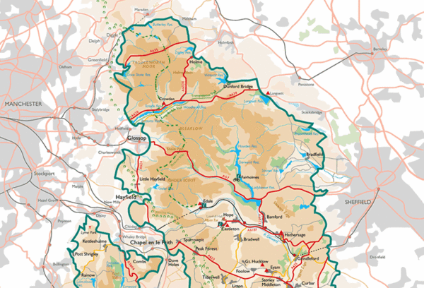
Peak District National Park Map
near Peak District National Park, UK

 See more

Nearby Maps
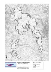
Bird Survey Map
Map of survey areas in the Peak District Moorland. Shows survey areas of 1990 and 2004.
3 miles away
Near Peak District, UK

Areas Surrounding Bakewell, UK Map
Cities and areas around Bakewell, United Kingdom
5 miles away
Near Chapel-en-le-Frith
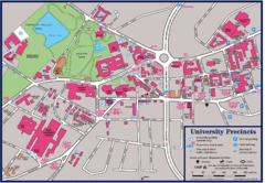
University of Sheffield Map
Campus map of the University of Sheffield in Sheffield, England. Shows parking, bus stops, and...
14 miles away
Near Sheffield, England
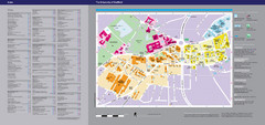
The University of Sheffield Reference Map
The University of Sheffield, United Kingdom
14 miles away
Near Sheffield, South Yorkshire
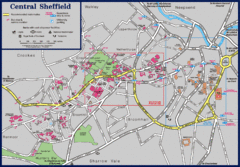
Central Sheffield Map
Map shows central Sheffield, England area. Bus stops and University of Sheffield parking areas...
15 miles away
Near Sheffield, England

 See more


 Explore Maps
 Map Directory
 click for
 Fullsize

0 Comments
New comments have been temporarily disabled.