Northwood City Map
near Northwood, Iowa
View Location
City map of Northwood, Iowa with key of churches, parks, and other points of interest.
See more


 See more
Nearby Maps

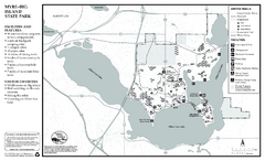
Myre-Big Island State Park Winter Map
Winter seasonal map of park with detail of trails and recreation zones
13 miles away
Near Myre-Big Island State Park, Albert Lea, MN

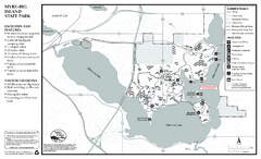
Myre-Big Island State Park Summer Map
Summer seasonal map of park with detail of trails and recreation zones
13 miles away
Near Myre-Big Island State Park, Albert Lea, MN

Pilot Knob State Park Map
Map of trails and park facilities in Pilot Knob State Park.
22 miles away
Near forest city, IA

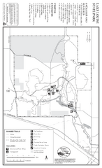
Lake Louise State Park Map
Map of park with detail of trails and recreation zones
35 miles away
Near Lake Louise State Park, MN

Owatonna Map
Visitor Map of Owatonna, Minnesota. Includes all streets, highways, restaurants, hotels, parks and...
44 miles away
Near Owatonna, Minnesota, USA

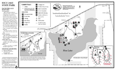
Rice Lake State Park Map
map of park with detail of trails and recreation zones
45 miles away
Near 8485 Rose St, Owatonna, MN

 click for
 Fullsize


0 Comments
New comments have been temporarily disabled.