Northern California Fire Detection Map
near California
See more

 See more
Nearby Maps

Relative Motion of Pacific and North American...
Diagram illustrating the plate-tectonic setting of southern California (image source: USGS general...
14 miles away
Near California

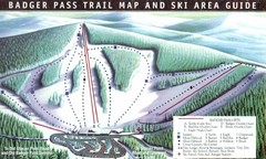
Badger Pass Ski Trail Map
Official ski trail map of Badger Pass ski area
19 miles away
Near Yosemite National Park, California

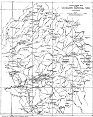
Yosemite Park Map (before development)
Map of Yosemite Park before valley development, showing only Portal Road
22 miles away
Near Yosemite National Park, CA, US

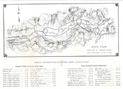
Yosemite Valley Auto Tour Map
Auto tour guide map of Yosemite, 1937
24 miles away
Near Yosemite Valley, CA

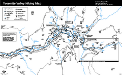
Yosemite Valley Trail Map
Trail map of hiking trails in Yosemite Valley, Yosemite National Park, California.
24 miles away
Near Yosemite Valley, Yosemite National Park, CA

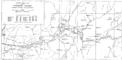
Yosemite Valley Map
Map of the valley and key elevations
24 miles away
Near Yosemite National Park, CA, US

 click for
 Fullsize


0 Comments
New comments have been temporarily disabled.