Myrtle Point walking tour Map
near myrtle point, oregon
View Location
Walking tour map of the Historic homes of Myrtle Point in the Coquille Valley of Oregon.
Tweet
See an error? Report it.
Keywords
history, tourism, history, myrtle point, heritage tour, walking tour, tour of homes, oregon history See more
 See more
Nearby Maps

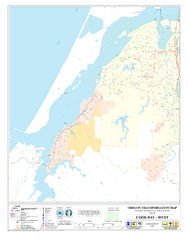
West Coos Bay Oregon Road Map
21 miles away
Near Coos Bay Oregon

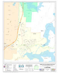
Lakeside Oregon Road Map
36 miles away
Near Lakeside Oregon

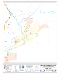
Oakland Oregon Road Map
49 miles away
Near Oakland Oregon

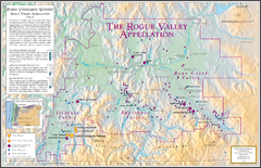
Oregon Rogue Valley wineries Map
Southern Oregon's Rogue Valley wineries
59 miles away
Near grants pass, or

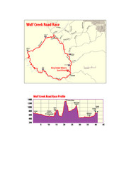
Wolf Creek Road Race Route and Route Elevation Map
Route map and elevation of Wolf Creek bike Race
82 miles away
Near eugene, or

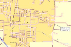
Medford, Oregon City Map
82 miles away
Near Medford, Oregon

 click for
 Fullsize


0 Comments
New comments have been temporarily disabled.