Lake Charles State Park Trail Map
near Powhatan, AR
See more
 See more
Nearby Maps

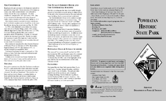
Powhatan Historic State Park Map
Map of the historic buildings of Powhatan State Park.
2 miles away
Near Powhatan, AR

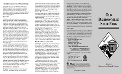
Old Davidsonville State Park Map
Map of Old Davidsonville State Park historical sites, amenites and other park sites.
17 miles away
Near pocohantas, ar

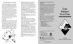
Lake Frierson State Park Map
Map of Lake Frierson State Park showing trails, boating and fishing areas and amenities.
25 miles away
Near Jonesboro, AR

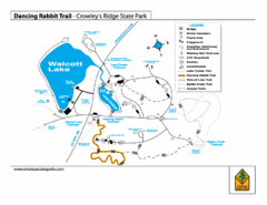
Dancing Rabbit Trail - Crowley's Ridge State...
Trail Map for Dancing Rabbit Trail in Crowley's Ridge State Park showing Walcott Lake, hiking...
26 miles away
Near Jonesboro, AR

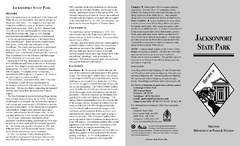
Jacksonport State Park Map
Map of Jacksonport State Park showing historical sites, trails, amenities and river access.
31 miles away
Near jacksonport, ar

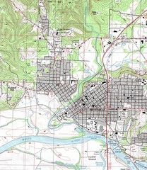
Batesville City Map
Topographic city map of Batesville, Arkansas
35 miles away
Near Batesville, Arkansas

 click for
 Fullsize

0 Comments
New comments have been temporarily disabled.