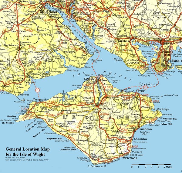
Isle of Wight Map
near Isle of Wight, United Kingdom
See more
 See more
Nearby Maps

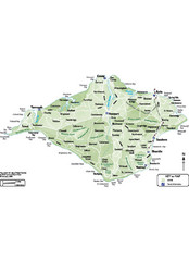
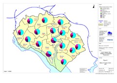
Isle of Wight Map
3 miles away
Near Isle of Wight

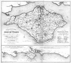
Isle of Wight Map
3 miles away
Near Isle of Wight

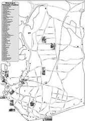
Portsmouth and Southsea Tourist Map
Tourist map of "where to go" in Portsmouth and Southsea, England. Includes photos of...
10 miles away
Near Southsea, England

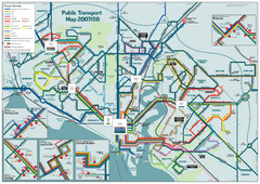
Southampton Public Transport Map
Public transport map of Southampton, England
13 miles away
Near Southampton, England

Methods of Travel in Southampton, UK Map
The methods of travel used by workers in Southampton
13 miles away
Near Southampton

 click for
 Fullsize


0 Comments
New comments have been temporarily disabled.