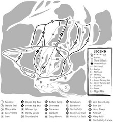
Hidden Valley Ski Trail Map
View Location
Trail map from Hidden Valley, which provides downhill skiing. This ski area has its own website.
See more
 See more
Nearby Maps

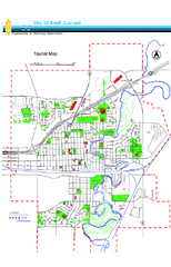
Swift Current Tourist Map
Tourist map of Swift Current, Saskatchewan. Shows all parks and walking paths.
118 miles away
Near Swift Current, Saskatchewan

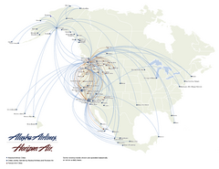
Alaska Airlines Route Map
119 miles away
Near Eston, Canada

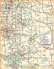
Southern Alberta Map
Shows highways, cities and towns, national/provincial parks and recreation areas, UNESCO World...
122 miles away
Near Countess, Canada

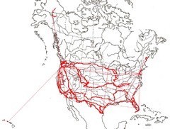
North America Layout Map
Countries, states and provinces in North America
123 miles away
Near North America

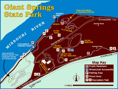
Giant Springs State Park Map
Set aside a whole afternoon to experience this scenic and historic freshwater springs site. First...
153 miles away
Near Giant Springs State Park, mt, usa

Teton Pass Ski Area Ski Trail Map
Trail map from Teton Pass Ski Area.
155 miles away
Near HC 58 Box 34A, Choteau, MT

 click for
 Fullsize

0 Comments
New comments have been temporarily disabled.