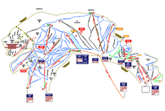
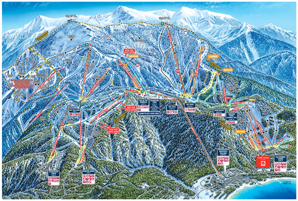
Heavenly Valley Ski Trail Map
near Wildwood and Saddle, South Lake Tahoe, CA 96150
See more
 See more
Nearby Maps

Heavenly Ski Resort Ski Trail Map
Trail map from Heavenly Ski Resort, which provides downhill, nordic, and terrain park skiing. It...
less than 1 mile away
Near South Lake Tahoe, California, United States

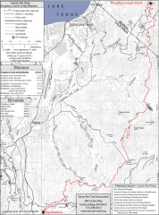
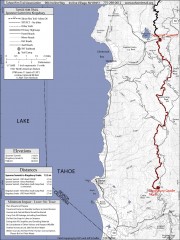
Tahoe Rim Trail: Kingsbury South to Big Meadows...
Topographic hiking map of the Kingsbury South-Big Meadows leg of the Tahoe Rim Trail. Shows...
5 miles away
Near lake tahoe, ca

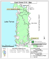
East Shore Lake Tahoe Off-highway Vehicle Map
Off-highway vehicle map of the East Shore of Lake Tahoe, California. Shows roads open to...
6 miles away
Near lake tahoe, ca

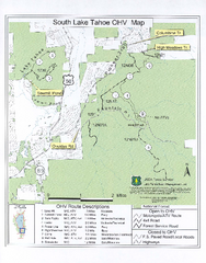
South Lake Tahoe Off-Highway Vehicle Map
Off-Highway Vehicle Map of South Lake Tahoe, California. Shows roads open to motorcycles, ATVs, and...
7 miles away
Near lake tahoe, ca

Tahoe Rim Trail: Spooner Summit to Kingsbury...
Topographic hiking map of the Spooner Summit-Kingsbury North leg of the Tahoe Rim Trail. Bike and...
7 miles away
Near lake tahoe, ca

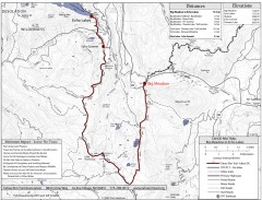
Tahoe Rim Trail: Big Meadow to Echo Lake Map
Topographic hiking map of the Big Meadow-Echo Lake leg of the Tahoe Rim Trail. Bike and pedestrian...
9 miles away
Near lake tahoe, ca

 click for
 Fullsize


0 Comments
New comments have been temporarily disabled.