Edit this map

Gandaki Mountain Trail Map

near Gandaki

View LocationView Map

28.459033019728 84.0261840820312 9 satellite
Nearest Map »  Fullsize
1191 × 9431.0 MBJPG

Map of hiking trails for Gandaki Moutain range, Nepal.

From himalman.files.wordpress.com

nava added
Aug 23, 2009

Rating
rated 4 by 1 person

See an error? Report it.

Keywords

tourism, hiking, trails, mountain, annapurna, climbing, mountaineering, trekking

0 Comments

New comments have been temporarily disabled.
See more

Nearby Maps

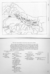
Early Geographical Locations of Vedic Schools Map

Early Geographical Locations of Vedic Schools Map

The map shows the homelands and the early spreading of the major Vedic sakhas in hte Middle and...

7 miles away

Near Nepal
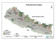
Nepal Protected Areas Map

Nepal Protected Areas Map

7 miles away

rated 2 by 1 person
Near Nepal
Keywords: tourism, parks
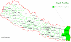
Nepal Tea Growing Regions Map

Nepal Tea Growing Regions Map

7 miles away

rated 2 by 1 person
Near Nepal
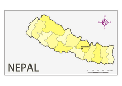
Nepal zones map

Nepal zones map

Map of Nepal with administrative zones.

20 miles away

Near nepal
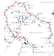
Annapurna Trail Map

Annapurna Trail Map

Annapurna near Bhairawa.

64 miles away

Near Bhairawa
Keywords: tourism, trails, rivers
Yueqing Tourist Map

Yueqing Tourist Map

Places of interest, Yueqing.

72 miles away

Near Yueqing
Keywords: reference
See more