Fishers Island Map
near Fishers Island, NY
See more
 See more
Nearby Maps

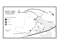
Haley Farm State Park map
Trail map of Haley Farm State Park in Connecticut.
2 miles away
Near groton, ct

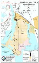
Bluff Point State Park map
Trail map for Bluff Point State Park and Coastal Reserve.
2 miles away
Near groton, ct

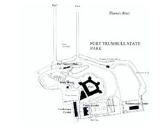
Fort Trumbull State Park map
Map of Fort Trumbull State Park in Connecticut.
6 miles away
Near Fort Trumbull State Park, ct

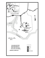
Harkness Memorial State Park map
Trail map of Harkness Memorial State Park in Connecticut.
6 miles away
Near waterford, ct

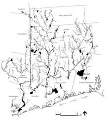
Rhode Island Coastal Watershed Map
Paddling Guide of Pawcatuck River Watershed
13 miles away
Near Rhode Island, US

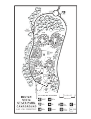
Rocky Neck State Park campground map
Campground map of Rocky Neck State Park in Connecticut.
13 miles away
Near east lyme, ct

 click for
 Fullsize


0 Comments
New comments have been temporarily disabled.