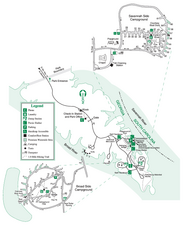
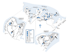
Calhoun Falls State Park Map
near Calhoun Falls State Park, South Carolina
See more
 See more
Nearby Maps

Bobby Brown State Park Map
Map of park with detail of trails and recreation zones
8 miles away
Near 2509 Bobby Brown State Park, Elberton, GA

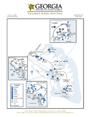
Richard B. Russell State Park Map
Map of park with detail of trails and recreation zones
10 miles away
Near 2650 Russell State Park Rd, Elberton, GA

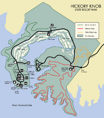
Hickory Knob State Park Map
Detailed map of this beautiful state park.
18 miles away
Near Hickory Knob State Park, South Carolina, USA

Elijah Clark State Park Map
Map of park with detail of trails and recreation zones
20 miles away
Near 2959 McCormick Highway, Lincolnton, GA

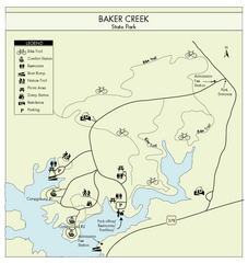
Baker Creek State Park Map
Beautiful park with wonderful views and plenty of wild life.
20 miles away
Near Baker Creek State Park, South Carolina

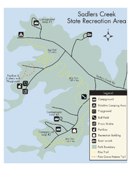
Sadlers Creek State Park Map
This simple map gives you an easy to follow layout of this amazing state park.
26 miles away
Near Sadler's Creek, SC, USA

 click for
 Fullsize

0 Comments
New comments have been temporarily disabled.