Edit this map

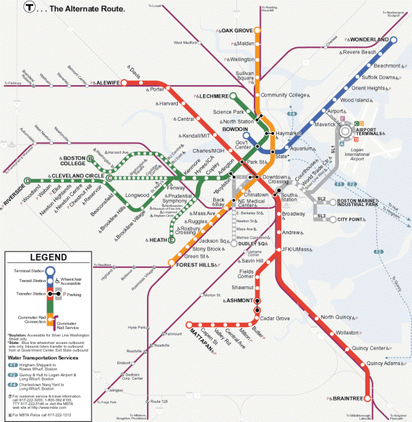
Boston Subway T Map

near Boston, MA

View LocationView Map

42.3585439174971 -71.0712432861328 12 satellite
Nearest Map »  Fullsize
992 × 1016115 KBGIF

Massachusetts Bay Transportation Authority (MBTA) map of the Boston T subway system. Includes water transportation services.

From Massachusetts Bay Transportation Authority

scott added
Aug 6, 2007

Rating
rated 4.5 by 4 people

See an error? Report it.

Keywords

transportation, subway, metro, near state street, staniford, st, staniford, st, staniford, st, staniford, st, staniford, st

2 Comments

Cute and simple subway map! GO RED SOX!!!

Swiss, Jul 31, 2008

i dont think this T map could get any better.

nams, Dec 30, 2008
New comments have been temporarily disabled.
See more

Nearby Maps

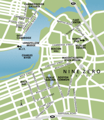
Central Boston Tourist Map

Central Boston Tourist Map

less than 1 mile away

Near Boston
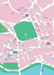
Boston Neighborhood Map

Boston Neighborhood Map

less than 1 mile away

Near Boston
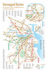
Boston Neighborhood Map

Boston Neighborhood Map

less than 1 mile away

Near Boston
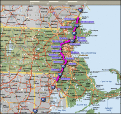
Interstate 95 Cities in Massachusetts Map

Interstate 95 Cities in Massachusetts Map

less than 1 mile away

Near boston
Keywords: reference
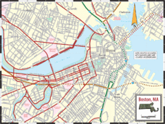
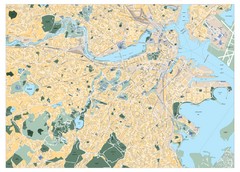
Boston City Map

Boston City Map

Street map of Boston

less than 1 mile away

Near Boston, MA
Boston, Massachusetts City Map

Boston, Massachusetts City Map

less than 1 mile away

Near Boston, Massachusetts
Keywords: reference
See more